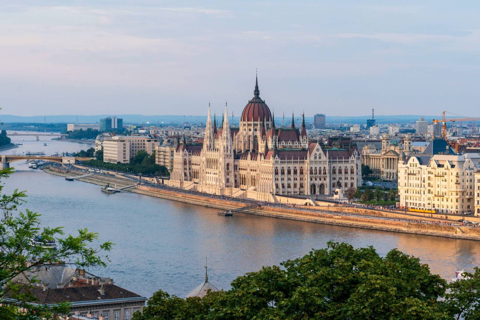
Embark on a remarkable cycling journey that carries you from the outskirts of Budapest to the peaceful shores of Lake Balaton. This well-built route offers mostly paved sections, thoughtful rest areas, and easy navigation for cyclists of all experience levels. The path winds through rolling vineyards around Etyek, next to the serene Lake Velence, and effortlessly proceeds through charming villages and scenic rural landscapes before reaching Székesfehérvár, a city rich in history and culture. From there, the final stretch guides you to Balatonakarattya, where the waters of Lake Balaton wait just ahead. Whether you are an eager road cyclist, a touring enthusiast, or traveling with family, the journey is accessible, beautiful and satisfying.
How far is it from Budapest to Lake Balaton?
The cycle route from Budapest to Lake Balaton, also known as the BuBa route, is part of the EuroVelo 14 network and stretches for approximately 106 km. Around 95% of the route is paved, with the vast majority being asphalt, ideal for road and touring bikes. Only a small section has unpaved or ground surface. Most of the route follows dedicated cycle paths and quiet side roads, with some occasional segments on quieter roads or shared farmland lanes, but still rideable and generally low traffic. The recently built infrastructure ensures safety, comfort and usability.
How long does it take to complete the route from Budapest to Lake Balaton?
Estimated travel time varies depending on cycling pace. For a more casual or family single-day trip, expect around 8-11 hours, including breaks. More experience cyclists may need roughly 6-7 hours. The route can also be comfortably spread over 2-3 days, allowing more time for sightseeing, breaks and enjoyment of the slower, rural landscapes before reaching Lake Balaton.
For a two-day split, we sugest setting off on the first day from Budapest to Székesfehérvár, a charming historic city with good food and plenty of places to stay. And from Székesfehérvár to Balatonakarattya, where the lake finally comes into view.
For a three-day split, we sugest going from Budapest to Etyek on the first day, from Etyek to Székesfehérvár on the second day, and from Székesfehérvár to Balatonakarattya on the third day.
Why is Lake Balaton famous?
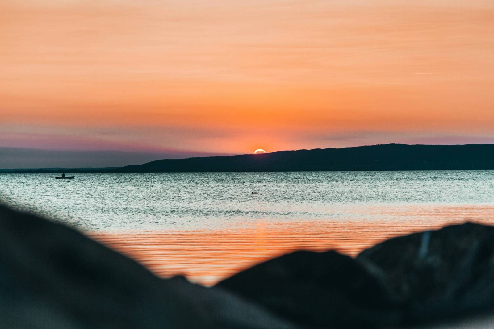
Lake Balaton is the largest freshwater lake in Central Europe. Due to its shallow depth, Balaton warms quickly and maintains pleasant temperatures until late autumn, making it ideal for families and casual bathers. Its extensive shoreline is dotted with 64 beaches and 73 harbours, offering a wide range of amenities and safe, welcoming conditions. Lake Balaton supports a diverse ecosystem, about 1,400 algae species, vital fish spawning areas and unique wildlife. Much of the region is protected by the Balaton Uplands National Park and is part of the Natura 2000 network. The Bakony-Balaton area is part of a UNESCO-recognized Geopark, recognized for its rich geological heritage. The northern hills host thriving vineyards producing unique and flavorful white wines. Lake Balton's popularity has grown thanks to events like Balaton Sound, one of Europe’s biggest open-air music festivals, gourmet experiences, and water sports like sailing and paddleboarding. Today, it captivates visitors with its natural beauty, warm inviting waters, cultural heritage, wine-rich landscapes, and ecological significance.
Can you cycle around Balaton lake?
The official Balaton Cycle Circuit, completely encircles the lake, stretching just over 200 km. It is well-marked and follows a mix of lakeside cycle paths and quiet side roads, making it accessible to cyclists of all skill levels, as well as families with children. Cycling around Lake Balaton offers a feast of attractions, from cultural landmarks and panoramic viewpoints to thermal spas, abbeys and vineyards. Whether you're seeking history, food, beach leisure, or peaceful nature, the tour fulfills all those desires and more.
What attractions are there along the route from Budapest to Lake Balaton?
Cycling from Budapest to Lake Balaton is more than just exercise. Here are a few must-sees along the way:
Biatorbágy
A charming town with scenic viewpoints offering panoramic views of Biatorbágy and the surrounding forested hills, and full of lovely cafés offering artisanal pastries and local delicacies, perfect for a relaxing break.
Wine Region in Etyek
Vine-covered hills, tasting cellars, picturesque landscape perfect for a wine break.
Lake Velence
Region full of public beaches, cafés and a modern lakeside promenade where you can relax or grab a bite. Also a perfect stop for wildlife lovers who look forward to birdwatch in the serene wetlands.
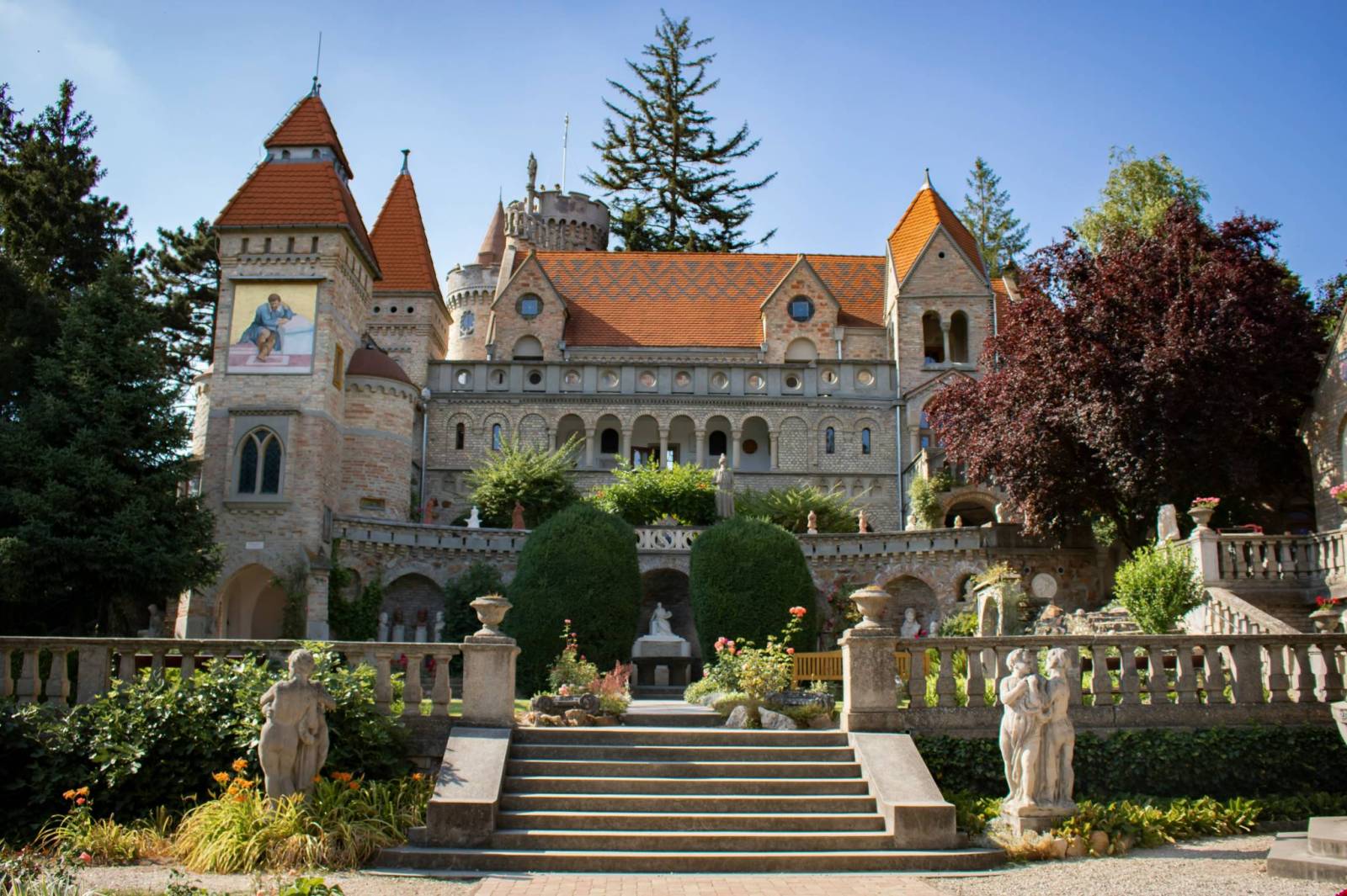
Old Town in Székesfehérvár
Set among historic architecture, with cafés and cultural atmosphere that will help you recharge.