Charakterystyka trasy

Komentarze
NA TYCH TRASACH PRZYDA CI SIĘ MAPOPRZEWODNIK LUB MAPA Z NASZEJ APLIKACJI

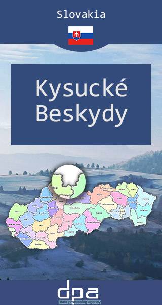
Mapa prezentuje fragment północno-zachodniej Słowacji na pograniczu z Czechami i z Polską. Beskid Kysucki to pasmo górskie w regionie Kysuce. Wraz z Beskidem Orawskim tworzą pasmo Beskidów Słowackich, są najwyższą częścią Gór Kisuckich, choć czasem spotyka się opinie, że osobnym rejonem górskim. Beskid Kysucki ciągnie się od przełęczy Zwardońskiej do granicy z Orawą na przełęczy Przysłop. Najwyższym szczytem pasma jest Wielka Racza (Veľká Rača). Na terenie gór znajduje się kilka rezerwatów przyrody, w tym wokół Wielkiej Raczy, a niemal całość pasma zajmuje obszar chronionego krajobrazu.
Rok aktualizacji: 2016/2017
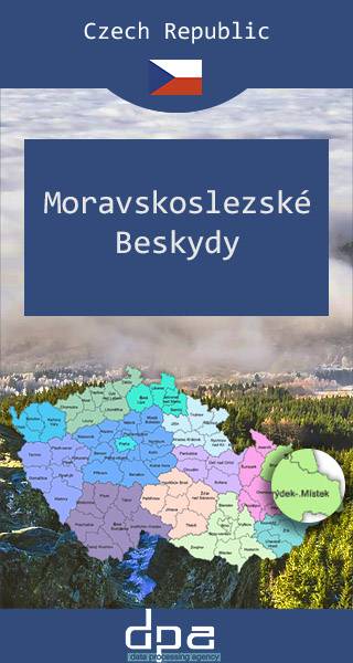
Mapa przedstawia fragment Beskidów Śląsko-Morawskich na południowy wschód od miejscowości Międzyrzecze Wołoskie, oraz zachodnią część Jaworników - do linii miejscowości Vysoká nad Kysucou. Malowniczy region czesko-słowackiego pogranicza wykorzsytywany jest pod turystykę pieszą i narciarską, licznie odwiedzają go także wspinacze skałkowi (znane miejsce wspinaczkowe to Skały Czertowskie koło wsi Lidečka).