
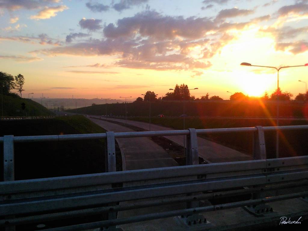

Charakterystyka trasy

Komentarze
NA TYCH TRASACH PRZYDA CI SIĘ MAPOPRZEWODNIK LUB MAPA Z NASZEJ APLIKACJI
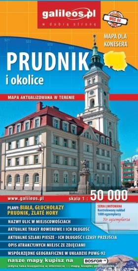
Mapa Prudnika i okolic obejmuje obszar od Nysy i Krapkowic do Głuchołaz i Města Albrechtickiego. Naniesiono wszystkie trasy rowerowe, szlaki piesze i konne. Podano ich długość a przy szlakach pieszych również czasy przejść. We wszystkich miejscowościach podano nazwy ulic. Na mapie użyta jest siatka geograficzna, opisana co 1 minutę (szerokość geograficzna) i 2 minuty (długość geograficzna). W formie drukowanej mapa wydana została w nakładzie 1000 egzemplarzy jako limitowana seria.
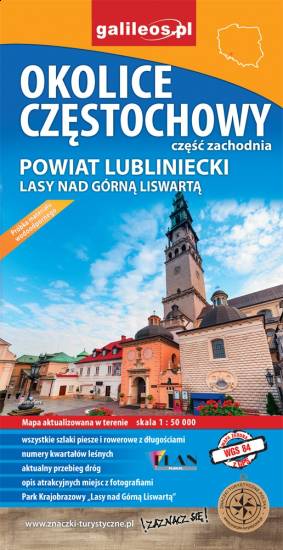
Mapa Częstochowy i okolic obejmuje swym zasięgiem zachodnie okolice Częstochowy, a w nich Park Krajobrazowy Górnej Liswarty, powiat lubliniecki, zawiera sieć dróg z numeracją, granice gmin oraz bogatą treść turystyczną: szlaki piesze i rowerowe, ścieżki przyrodnicze, zabytki, ciekawe miejsca i przyrodniczą - granice rezerwatów, pomniki przyrody. Zawiera nazwy ulic w miejscowościach.
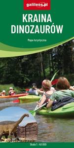
Kraina Dinozaurów to obszar ograniczony miejscowościami: Krupski Młyn, Dobrodzień, Zagwiździe, Opole. W centrum mapy znajduje się Jezioro Turawskie z zaznaczonymi wieloma ośrodkami. Obok Jeziora jest miejscowość Krasiejów, gdzie odkryto skamienieliny dinozaurów, na bazie tych wykopalisk utworzono „Park Krasiejów” z wieloma atrakcjami. Przez środek tego terenu przepływa rzeka Mała Panew – świetna do uprawiania kajakarstwa. Obszar ten jest bogaty w ciekawe zakątki, obiekty przyrodnicze i turystyczne. Zaznaczono wszystkie szlaki : piesze, rowerowe , konne i kajakowe.
Mapa została przygotowana tylko dla urządzeń cyfrowych, nie ma odpowiednika w wersji papierowej.