adamiresadamires
Charakterystyka trasy
2015-01-10
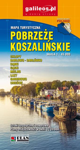
Polska, województwo zachodniopomorskie, Koszalin

Długość trasy:
46 kmSuma przewyższeń:
235 mSuma spadków:
226 mŚredni czas potrzebny na pokonanie trasy:
3 h 35 minOcena trasy:
1.0/6