
category-icon

Biały Dwór - Stanica - Książenice.

48 km
1479 m
1515 m
Polska, śląskie, Rybnik, Rybnik
Zdjęcie 1
Zdjęcie 2
Zdjęcie 3
Zdjęcie 4
Zdjęcie 5
Zdjęcie 6

Charakterystyka trasy

2021-03-26
Polska, śląskie, Rybnik, Rybnik
category-icon
Długość trasy:
48 km
Suma przewyższeń:
1479 m
Suma spadków:
1515 m
Ocena trasy:
5.0/6
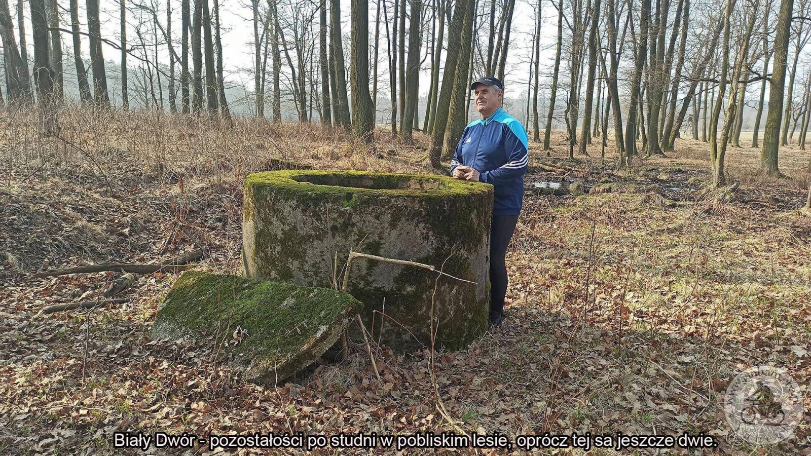
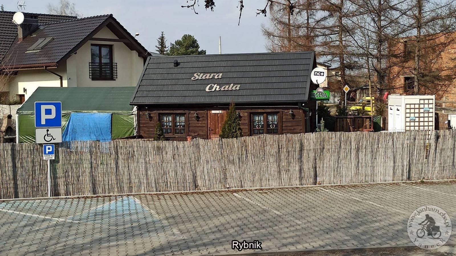
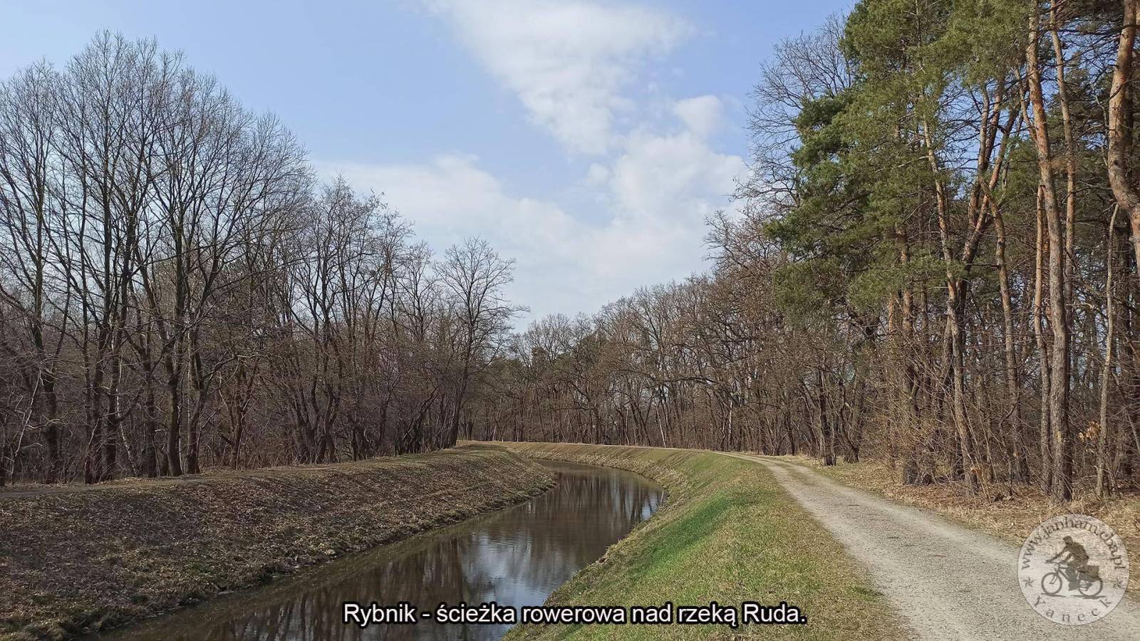
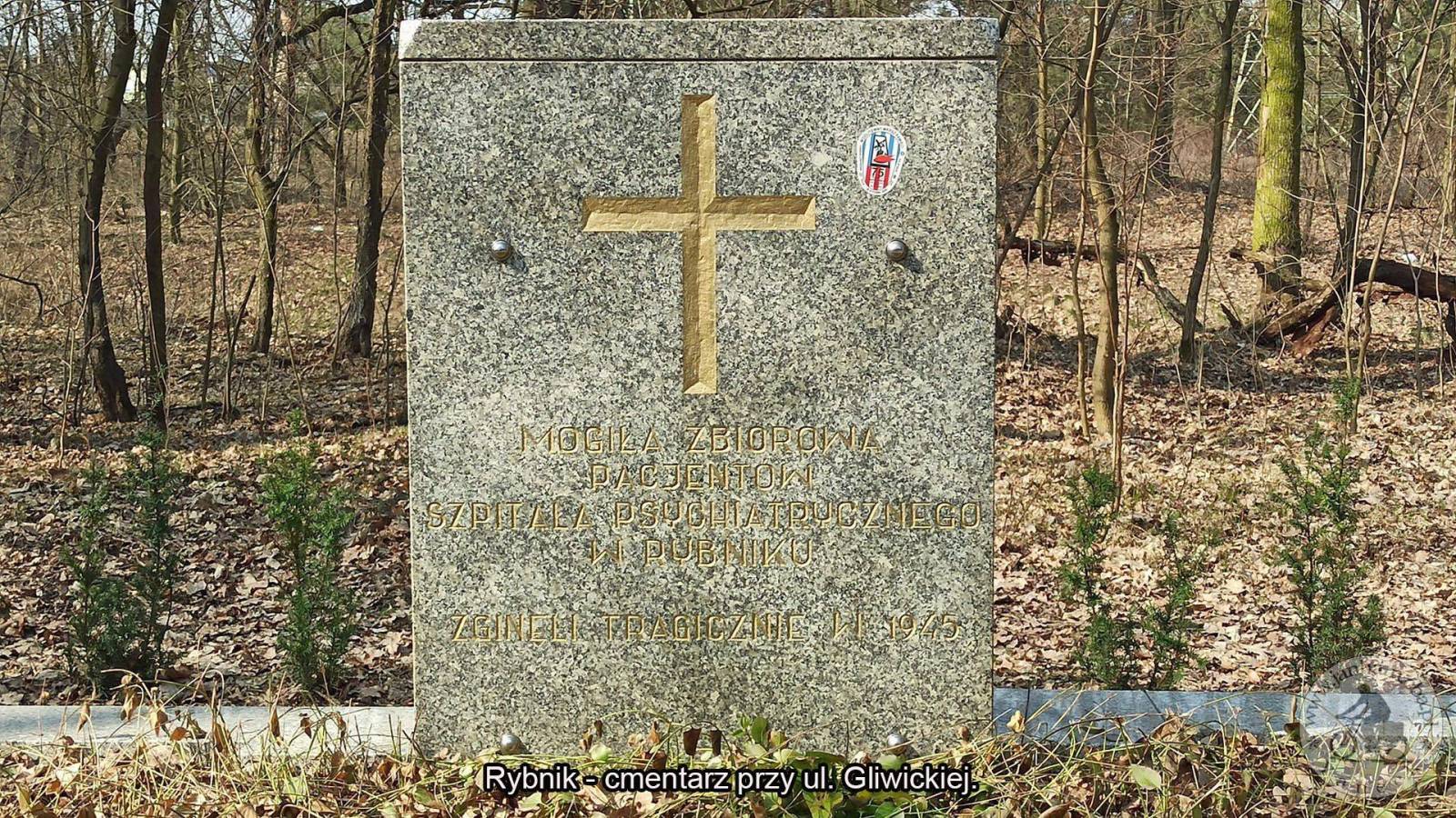
Wyjazd do Białego Dworu celem odszukania studni w pobliżu folwarku. Informacje o miejscu tejże studni, która znajduje się w pobliskim lesie otrzymałem od kolegi Janusza Weres, jak się później okazało są tam jeszcze dwie studnie, które nie wystają tak mocno od podłoża jak ta, którą szukałem. Prócz tych studni w lesie, znalazłem też studnię obok ruin gorzelni, studnia ta głęboka na ok 2 m. jest bez wody i niezabezpieczona. Przed wjazdem do ruin gorzelni obok po prawej stronie znajduje się mały budynek, w którym jest źródło czystej zimnej wody, chętnie pobieranej przez przyjezdnych. Jadąc dalej w kierunku Stanicy natrafia się tuż obok drogi na kolejne źródło czystej wody tzw. Zimny Sztok, tu też można spotkać przyjezdnych nabierających wodę. Dalej w drodze do Stanicy napotykamy Lipę Sobieskiego - Pomnik Przyrody, następnie kościół, kapliczka oraz zabytkowa stacja kolejki wąskotorowej. Trasa: Rybnik, Chwalęcice, Stodoły, Rudy, Przerycie, Biały Dwór, Stanica, Lasoki, Książenice, Kamień, Wielopole i do domu. Cała trasa to wg licznika 49.54 km. Więcej: https://www.janham.cba.pl/index.php?option=com_content&view=article&id=186&Itemid=352

Komentarze

NA TYCH TRASACH PRZYDA CI SIĘ MAPOPRZEWODNIK LUB MAPA Z NASZEJ APLIKACJI
Area of Tychy and Pszczyna
MAPA TURYSTYCZNA W APLIKACJI TRASEO
Area of Tychy and Pszczyna

The map range: Oświęcim to the east, Żory to the west, Goczałkowickie Lake to the south. The map presents information useful for tourists, walking and cycling trails, tourist attractions. The most interesting places are highlighted with a yellow frame.
Gliwice Area
MAPA TURYSTYCZNA W APLIKACJI TRASEO
Gliwice Area
The map covers part of the Silesian Voivodeship in southern Poland: Gliwice city and its surroundings. Lot of information useful for tourists is marked on the map: monuments, accomodation facilities, protected areas, cycling and walking trails. The most interesting places are highlighted with a yellow frame.
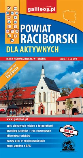
Racibórz County
MAPA TURYSTYCZNA W APLIKACJI TRASEO
Racibórz County

The map presents the Racibórz County in the Upper Silesia region, Poland. It is comprised of five municipalities: Racibórz, Kornowac, Nędza, Kuźnia Raciborska, Rudnik, Pietrowice Wielkie, Krzanowice, Krzyżanowice. The most interesting places are highlighted with a yellow frame. Cycling, walking and didactic trails are marked on the map.
Rybnik Region
MAPA TURYSTYCZNA W APLIKACJI TRASEO
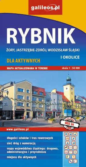
Rybnik Region

The map range: Żory in Poland to the east, Karviná in Czech Republic to the south, Wodzisław Śląski (Poland) and Ostrava suburbs (Czech Republic) to the west, and Gliwice suburbs (Poland) to the north. Tourist attractions, cycling and walking trails, boundaries of protected areas, as well as accomodation facilities are marked on the map.
Euroregion Praděd
MAPA TURYSTYCZNA W APLIKACJI TRASEO
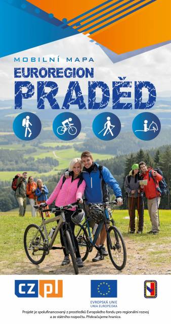
Euroregion Praděd

Turistická mapa Euroregionu Praděd zahrnuje území česko-polského příhraničí: na české straně okresy Jeseník a Bruntál, na polské straně Opolské vojvodství. Speciálně zpracovaný kartografický podklad obsahuje nezbytné informace pro aktivní turistiku v přeshraniční oblasti: pěší, jezdecké, cyklistické stezky a další významné objekty infrastruktury cestovního ruchu. 

Mapa byla zpracována v rámci projektu „E-bike moderní turistika" spolufinancovaného z prostředků Evropského fondu pro regionální rozvoj a ze státního rozpočtu. „Překračujeme hranice"
Euroregion Pradziad
MAPA TURYSTYCZNA W APLIKACJI TRASEO
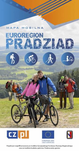
Euroregion Pradziad

The tourist map of the Pradziad Euroregion covers the area of the Polish-Czech border region: the Opolskie voivodeship on the Polish side and the Jeseník and Bruntál regions on the Czech side. A specially developed cartographic base contains necessary information for active tourism in the cross-border region: hiking trails, horse riding trails, cycle routes and others.

The map was produced under the project "E-bike modern tourism" co-financed by the European Regional Development Fund and the state budget. "We cross borders".


Miejscowości na trasie