Gołdap (0.0 km) • Jabłońskie (5.5 km) • Włosty (8.5 km) • Różyńsk Mały (18.1 km) • Sokoły (19.5 km) • Juchnajcie (21.2 km) • Widgiry (35.3 km) • Jagiele (38.0 km) • Zabin (41.7 km) • Pyramid in Rapa (43.9 km) • Skaliskie Forests (56.0 km) • Brożajcki Canal (58.2 km) • Popioły (66.0 km)
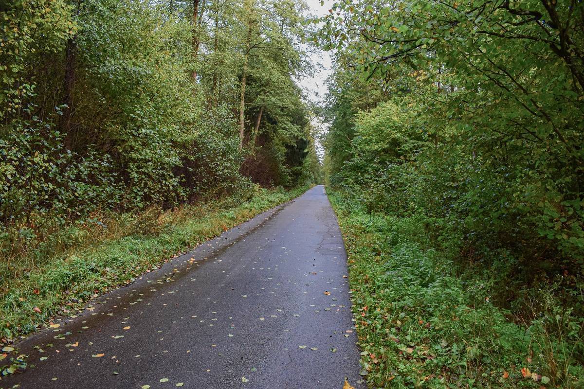
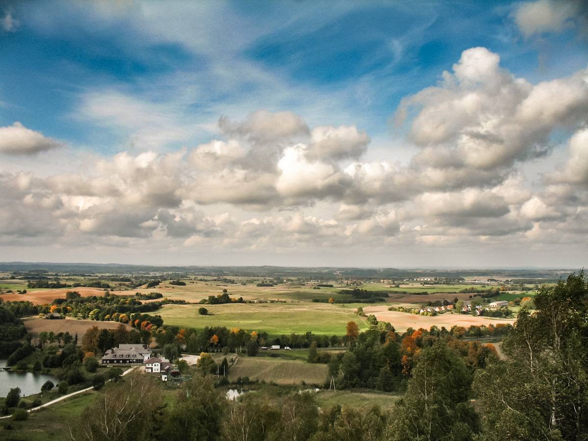
The route passes through very hilly terrain. In the initial section, due to the lack of dense forest complexes, the landscape is characterized by rolling hills. The second part of the trail runs through the mixed-species forests of the Skaliskie Forests along a well-maintained road, passing through a protected area.
The route begins in the center of Gołdap, next to the Tourist Information Center on Zwycięstwa Square. The first section follows the Green Velo trail, which takes us to the village of Jabłońskie. Here you’ll find the first Cyclist Service Point (MOR).
Past Jabłońskie, the road crosses a railroad embankment, along which the Green Velo trail continues. We continue straight ahead on the paved road. At this stage, the terrain is still flat. After passing through Włost, we come to a fork in the road. The route continues along the paved road to Rożyńsk Wielki. At this point, you can shorten the trip by about 11 km (by turning right onto a paved gravel road after passing through Włost to reach Juchnajć after about 3 km), though you’ll miss out on the chance to ride along the Gołdapa River.
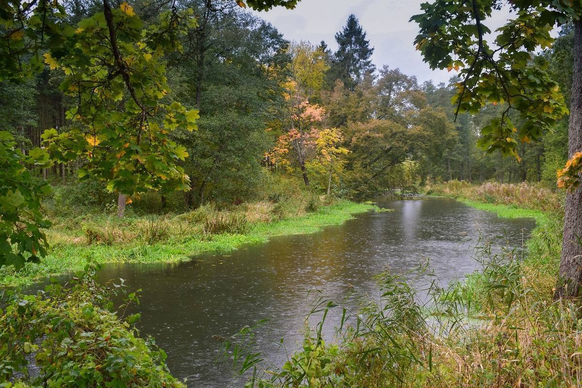
Staying on the route, we continue toward Rożyńsk Wielki. After nearly 3 km, we turn right onto an asphalt road, following the sign for Rożyńsk Mały. On the left, among the vegetation, you can see the Gołdapa River. We’ll ride along it for the next few kilometers.
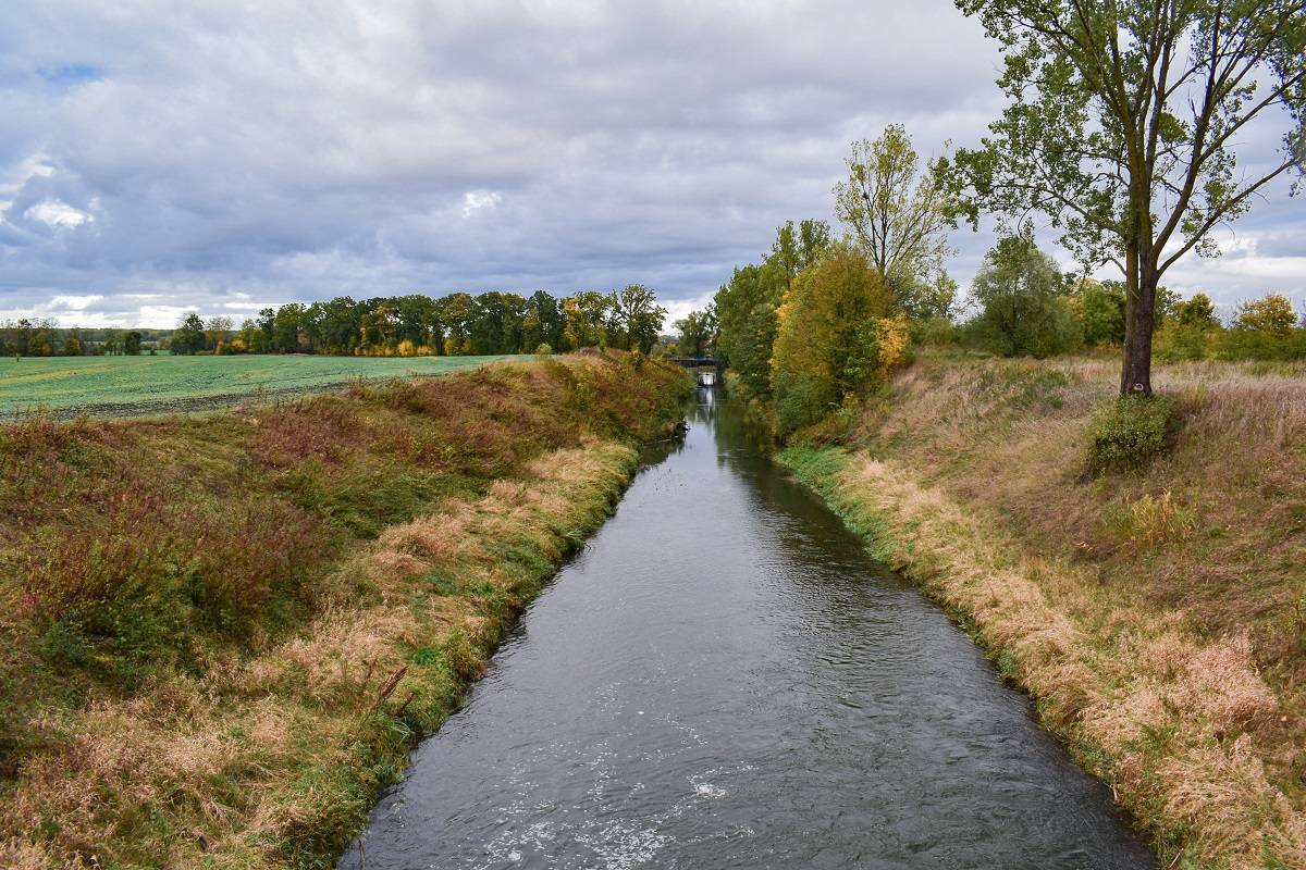
After crossing the bridge over the Gołdapa, we turn right. On the left is a small island developed for recreational use, where you can take a break. Continuing through Jany and Sokoły, still staying close to the river, we reach the village of Juchnajcie. The route turns left, crossing the river once again. Remnants of hydrotechnical infrastructure can be seen near the bridge. A few dozen meters from this spot, in the village, there is a recreational area with a shelter. We continue along the paved road to Rogali, where the Neo-Gothic Church of Sts. Peter and Paul stands. Beyond the village, you can turn off the route and visit Klewiny, which features a lookout point on Czarna Góra. There is also a simple, unadorned 19th-century manor house there. A 1.6-kilometer-long cobblestone avenue lined with century-old oaks and ash trees leads to it. Upon reaching the next village on the route—Widgiry—you’ll see a recreational shelter on the right. Continue along the gravel road through Jagiele and Stary Żabin (located 0.5 km from the state border) to Żabin. Just before the village, on the left, there is a well-preserved cemetery dating from World War I. While in Żabin, be sure to visit the late-Gothic Church of the Nativity of the Blessed Virgin Mary.
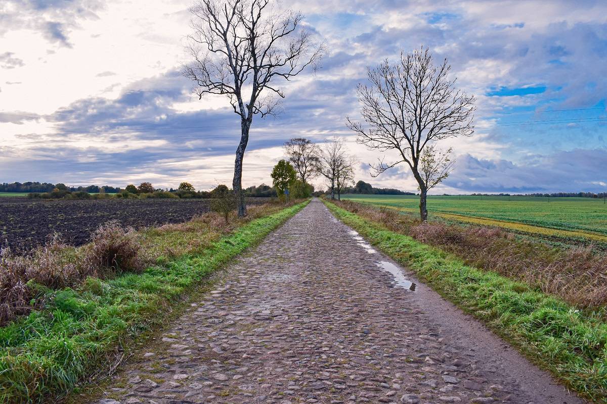
The route then leads to the intersection in Rapa. Here, be sure to turn left off the trail (800 m) to see the famous pyramid. At the fork, on the left, there is a neglected former manor park. From Rapa, head right through Mieduniszki Małe, along the Węgorapa River, to Mieduniszki Wielkie. If you continue straight ahead, you can reach the former settlement of Brożajcie (about 0.5 km from the route), where you’ll find the ruins of a manor house with a park. Following the trail, you should cross a bridge. The next section, over three kilometers long, is a cobblestone road leading to Zabrost Wielki. At the fork beyond the bridge over the Węgorapa River in Zabrost Wielki, turn left and follow the gravel road toward the forest. In Skalisko, the road becomes paved. Follow it for about 1.4 km, then turn left onto a gravel road leading into the forest. We reach the Brożajcki Canal and continue along it to the village of Śluza. From there, we head west; at the fork, we turn left onto the road running along the edge of the forest to Wydutki, and then, after crossing the bridge over the Gołdapa River, to Popioły.
This route is best suited for touring, hybrid, or mountain bikes, though with the exception of the final stage, it can also be ridden on a road bike. Due to light traffic, the trail is very safe, and there are several rest stops along the way, including the MOR in Jabłońskie and recreational areas in Rożyńsk Mały, Juchnajce, and Widgiry.
Gołdap is located right on the border with the Kaliningrad Oblast, along National Road No. 65, 68 km north of Ełk and 57 km northwest of Suwałki. There is no public transportation available to reach the town with a bicycle.
Gołdap – Mazurski Zdrój
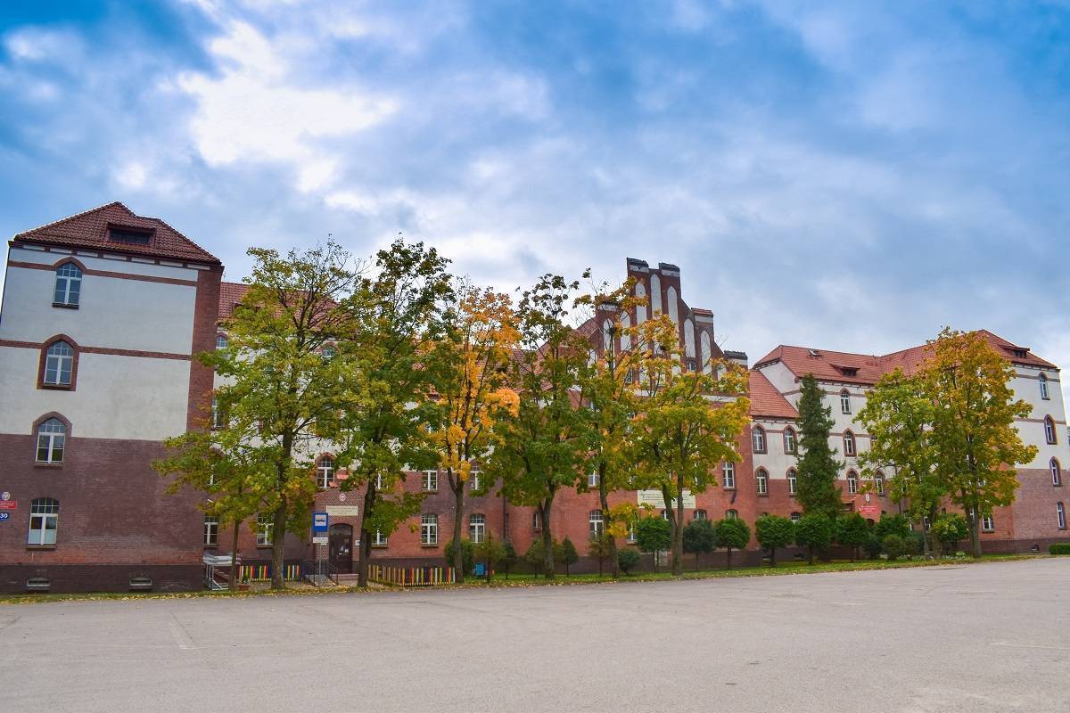
Gołdap is located in the Humpbacked Masuria region, on the edge of the Romincka Primeval Forest. Currently, this area is considered part of Masuria, but historically it was known as “Little Lithuania” because it was inhabited mainly by Lithuanians who converted to Protestantism after paying homage to Prussia in 1525. The town’s original name was Szyłajty; its current name derives from the river. Gołdap’s urban fabric suffered greatly during World War II. Among the historic buildings that have survived are the Gothic Church of Our Lady, Mother of the Church—formerly a Lutheran church (built in 1578, rebuilt in the 17th and 18th centuries, and reconstructed between 1981 and 1984)— the Church of St. Leo from 1894, a water tower from the turn of the 19th and 20th centuries, and 19th-century townhouses. Gołdap is a member of the Cittaslow network. It is also the only health resort in the Warmian-Masurian Voivodeship, featuring impressive graduation towers near Lake Gołdap. In the center lies a large and well-maintained city park featuring Victory Square, a fountain, and a beautiful little bridge. Patients at the Wital sanatorium, located in the suburban Kumiecie Forest, benefit from the mud baths and the cleanest air in Poland. Here, they receive treatment for musculoskeletal and respiratory ailments, as well as rheumatism. During the war, some of the buildings now occupied by the sanatorium were part of the headquarters complex of the Luftwaffe High Command. In the Kumiecie Forest, following the model of other Masurian command posts, sturdy shelters and several auxiliary buildings were constructed. The complex was codenamed “Robinson.”
The town’s surroundings are also attractive. Visitors will find both beautiful landscapes and a well-developed tourist infrastructure here. The highest peak is Szeska Góra (309 m above sea level); the picturesque surroundings of Żytkiejmy have been dubbed the “Polish prairies,” and the spruce forests of the Romincka Primeval Forest are compared to the Siberian taiga. South of the town, on the slopes of the Szeskie Hills, lies the “Piekna Góra” Sports and Recreation Center, and on Gołdapska Góra (272 m above sea level), there is a ski resort with artificially snow-covered slopes, a chairlift, two T-bar lifts, and a toboggan run. At the lower station of the lifts, there is a lodging facility with a restaurant.
It’s worth noting that Gołdap is home to the World Center for Kartacz Gourmets. It’s no surprise, then, that an annual Kartacz-eating championship is held here. This dish is a local specialty. Gołdap also features an international border crossing with Russia (Kaliningrad Oblast).
Rożyńsk Mały
The village was once home to a State Agricultural Farm. Its farm buildings have been preserved. Today, it is home to the “Wiejska Zagroda” mini-zoo, featuring alpacas, miniature ponies, goats, ornamental birds, monkeys, llamas, and chinchillas.
Church of the Nativity of the Blessed Virgin Mary in Żabin
A late-Gothic church from the early 16th century, featuring a low tower and a disproportionately long nave. The main nave is supported by pseudo-Hellenic columns, and the interior decoration is styled in the Neo-Baroque and Neo-Gothic traditions.
The Pyramid in Rapa
A unique pyramid-shaped tomb located about 30 km west of Gołdap, near the village of Rapa. It once belonged to the Fahrenheid family, owners of the estate in Bejnuny (now on the Russian side). It was likely built in 1812 by Friedrich von Fahrenheid, a grief-stricken father, following the death of his three-year-old daughter, Ninette. Her body was properly embalmed and placed in a double coffin. The structure was situated at the end of a specially constructed embankment. Seven members of the family were buried there. The mausoleum was visible from the manor house in Rapa, as it stood on a visual axis running through the park. The manor house was burned down; its ruins lie at the end of a neglected park avenue, near overgrown ponds.
Zabrost Wielki
In 1914, during World War I, the village was destroyed by the Russians; between 1916 and 1917, it was rebuilt according to a comprehensive plan by the Berlin architect Carl Kujath. It has survived to this day in its original form, making it the best-preserved historic village in Warmia and Masuria. The half-timbered cottages with arcades have a distinctive layout: the residential house is positioned sideways to the road, the barn faces the road with its gable end, and decorative gates are situated between the buildings. Behind the last buildings of the village, one can see a granite boulder with the date 1914 carved into it, presumably commemorating the battle fought here in September of that year. Beyond the bridge over the Węgorap River, near the cemetery, rises a hill (95 m above sea level) called Zamkowa Góra. A Prussian stronghold likely stood there originally. At the end of the 14th century, it was replaced by a Teutonic Knights’ watchtower.
Skaliskie Forests
The name of this forest complex comes from the surname of Paweł Skalich. Due to his impetuous nature, he lost his position at the court in Königsberg. After his privileges were revoked, he was granted lands north of Bań Mazurskie. Today, this is a special bird protection area comprising the Skaliskie Forests and the valleys of the Węgorapa and Gołdapa rivers. The terrain is very diverse—ranging from marshy river valleys and peat bogs, through large forest complexes, to meadows and farmland. Marshes, swamps, and numerous watercourses serve as a natural barrier to humans, resulting in an immense wealth of flora and fauna. Among the animals found here are moose, lynx, martens, foxes, raccoon dogs, badgers, otters, and beavers. It is one of the few places where wolf packs still live.
It is also an important habitat for cranes. Additionally, species found here include the white-tailed eagle, lesser spotted eagle, hazel grouse, middle spotted woodpecker, and black woodpecker. The Węgorapa River meanders through the northern part of this area. Its oxbow lake is a place of exceptional beauty and an ideal habitat for waterfowl.
The Brożajcki Canal
Dug in 1733, the canal cuts through the Skaliskie Forests. Between 1844 and 1850, land reclamation work was carried out here; among other things, a tributary canal was dug, which was used to drain Lake Miryt—now known as the Minta Marsh. Along the canal, you can see many hydrotechnical structures, such as weirs and locks, and there is also a hydroelectric power plant in the village of Brożajcie. Today, the canal offers an easy kayaking route.