

Charakterystyka trasy

Komentarze
NA TYCH TRASACH PRZYDA CI SIĘ MAPOPRZEWODNIK LUB MAPA Z NASZEJ APLIKACJI
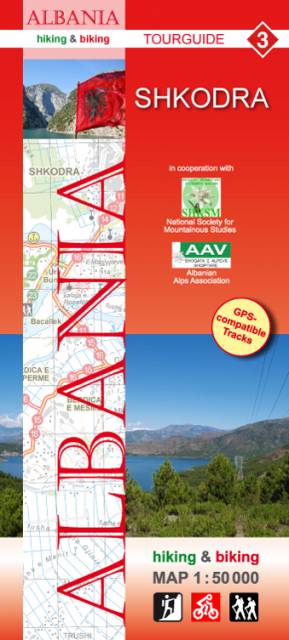
Mapa przedstawia okolice albańskiego miasta Szkodra oraz tereny na południowy wschód od jeziora Szkodra, w tym rejon Maranai. "Hiking & biking" to seria map niemieckiego wydawnictwa, przygotowana we współpracy z AAV (Associaton Albanian Alps) z myślą o wymagających turystach. Zawiera opracowane przez albańskie stowarzyszenie propozycje wycieczek pieszych i rowerowych. Zaznaczone są informacje wysokościowe, drogi leśne, miejsca przeznaczone do wspinaczki skałkowej, spływów kajakowych, ale także atrakcje i infrastruktura turystyczna w miastach.
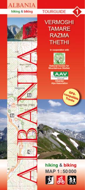
Najbardziej na północ wysunięty fragment Albanii, z miastami Vermoshi i Tamare. "Hiking & biking" to seria map niemieckiego wydawnictwa, przygotowana we współpracy z AAV (Associaton Albanian Alps) z myślą o wymagających turystach. Zawiera opracowane przez albańskie stowarzyszenie propozycje wycieczek pieszych i rowerowych. Zaznaczone są informacje wysokościowe, drogi leśne, miejsca przeznaczone do wspinaczki skałkowej, spływów kajakowych, ale także atrakcje i infrastruktura turystyczna w miastach.