


Charakterystyka trasy

Komentarze
NA TYCH TRASACH PRZYDA CI SIĘ MAPOPRZEWODNIK LUB MAPA Z NASZEJ APLIKACJI
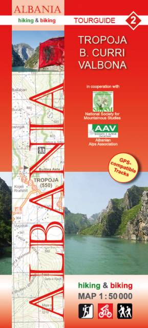
The map covers the north-east part of Albania, with Valbone and Rregami towns on the west and Fierze town on the south. The border with Kosova and Montenegro is marked as well. Some hiking and biking routes, suggested by the Publisher, are displayed, as well as interesting climbing sites, tourist attractions, accomodation and medical facilities. The Huber Cartographie series of "hiking & biking maps" was prepared in cooperation with the Albanian Alps Associations and the National Society for Mountainous Studies.
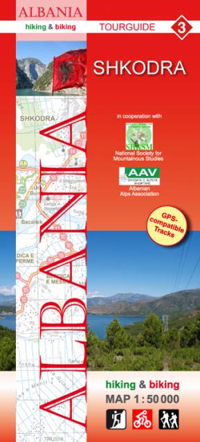
The map covers surroundings of Shkodra city and the south-east cost of Shkodra lake. Some hiking and biking routes, suggested by the Publisher, are displayed, as well as interesting climbing sites, tourist attractions, accomodation and medical facilities. The Huber Cartographie series of "hiking & biking maps" was prepared in cooperation with the Albanian Alps Associations and the National Society for Mountainous Studies.
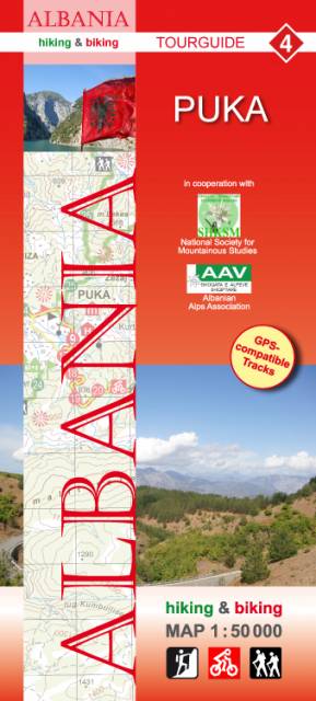
The map covers the northern part of Albania, from the Fierze lake on the north to Blinisht town on the south. Some hiking and biking routes, suggested by the Publisher, are displayed, as well as interesting climbing sites, tourist attractions, accomodation and medical facilities. The Huber Cartographie series of "hiking & biking maps" was prepared in cooperation with the Albanian Alps Associations and the National Society for Mountainous Studies.
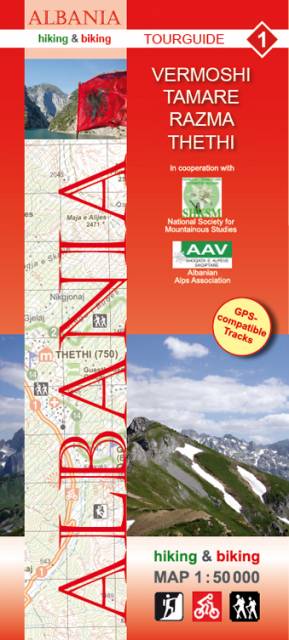
The map covers the area of northern Albania, with Vermoshi i Tamare cities. Some hiking and biking routes, suggested by the Publisher, are displayed, as well as interesting climbing sites, tourist attractions, accomodation and medical facilities. The Huber Cartographie series of "hiking & biking maps" was prepared in cooperation with the Albanian Alps Associations and the National Society for Mountainous Studies.