


Stan ZagStanZag
Charakterystyka trasy
2021-07-12

Długość trasy:
584 kmSuma przewyższeń:
3918 mSuma spadków:
3847 mŚredni czas potrzebny na pokonanie trasy:
12 h 8 minOcena trasy:
1.2/6Komentarze
NA TYCH TRASACH PRZYDA CI SIĘ MAPOPRZEWODNIK LUB MAPA Z NASZEJ APLIKACJI
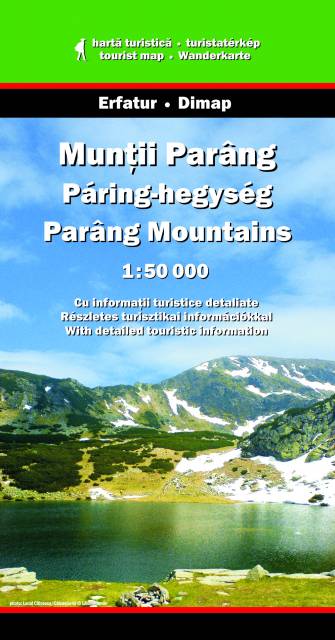
MAPA TURYSTYCZNA W APLIKACJI TRASEO
Parâng Mountains
Parâng Mountains are one of the highest mountain ridges in Romania and Southern Carpathians, with its highest peak Parângu Mare reaching 2,519 m. They are located in the south-western part of the Central-Meridional Carpathians. They are the tallest mountains from the local Parang-Cindrel mountain group and the second largest mountains in the Romanian Carpathians after the Făgăraș Mountains. They are situated between the Șureanu Mountains (north), Latoritei Mountains (north-east), Căpățânii Mountains (east), Vâlcan mountains (west) and the Petroşani Depression in the north-west. Located south and east of the city of Petroşani, the Parâng Mountains form the eastern barrier of the Jiu Valley (a plateau 100 kilometers long from east to west and 70-80 kilometers wide from north to south).
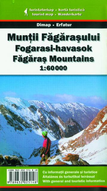
MAPA TURYSTYCZNA W APLIKACJI TRASEO
Făgăraş Mountains
Făgăraș Mountains are the highest mountains of the Southern Carpathians, in Romania. The highest peak is Moldoveanu (2544 m n.p.m.). They are bordered in the north by the Făgăraș Depression, through which the Olt river flows, and in the west by the Olt Valley (Valea Oltului). A road called the Transfăgărășan runs across the Făgăraș Mountains. It is generally open only between June and September, due to unfavorable weather conditions in the rest of the year. The Făgăraș Mountains are a very popular hiking, trekking and skiing destination in Romania. (wikipedia.org)
Attention! There is a little calibration mistake on the map - e.g. 200 m relative to google maps.
Attention! There is a little calibration mistake on the map - e.g. 200 m relative to google maps.