


Charakterystyka trasy

Komentarze
NA TYCH TRASACH PRZYDA CI SIĘ MAPOPRZEWODNIK LUB MAPA Z NASZEJ APLIKACJI
Szczegółowa mapa turystyczna z uwzględnieniem atrakcji, zabytków, noclegów, gastronomii oraz innych miejsc przydatnych turyście. Zawiera nazwy ulic w miejscowościach oraz szlaki turystyczne wraz z kilometrażem. Idealna gdy urlop spędzasz w Zawoni bądź wybierasz się zdobyć najwyższy szczyt Beskidów – Babią Górę zaliczaną do Korony Gór Polskich. Rok wydania: 2018
Szczegółowa mapa turystyczna Pilska i okolic z uwzględnieniem atrakcji, zabytków, noclegów, gastronomii oraz innych miejsc przydatnych turyście. Zawiera wszystkie znakowane szlaki turystyczne piesze, rowerowe, ścieżki dydaktyczne wraz z kilometrażem. Obejmuje swym zasięgiem wycieczki między Korbielowem a Ujsołami miedzy innymi po takich szczytach jak Boraczy Wierch, Rysieńka, Kozi Wierch, Trzy Kopce, Palenica, Pięć Kopców i Pilsko – drugi pod względem wysokości (po Babiej Górze) szczyt w Beskidzie Żywieckim.
Rok wydania: 2018
Mapa przedstawia wschodnią część Beskidu Żywieckiego z Babiogórskim Parkiem Narodowym. Zasięg mapy wyznaczają: Stryszawa na północy, Magurka (1'114 m n.p.m.) na zachodzie, Kiczory na południu i Zubrzyca Górna na wschodzie.
Babia Góra (1'725 m n.p.m.) od wieków przyciągała uwagę podróżników i badaczy, fascynowała pisarzy i poetów. Mówiło się, że na jej szczycie, nie bez powodu zwanym Diablakiem, miały swoją siedzibę złe moce. Babia Góra spośród wszystkich gór polskich, pod względem wysokości ustępuje jedynie szczytom tatrzańskim. Jej charakterystyczną cechą jest asymetria stoków: południowe, opadające w kierunku Orawy są względnie łagodne w stosunku do dobrze widocznych z Zawoi, stromych i urwistych stoków północnych, zwanych „wielką zerwą Babiej Góry”. U północnych podnóży Babiej Góry rozciąga się największa pod względem powierzchni wieś w Polsce – Zawoja. Jest to atrakcyjna miejscowość wypoczynkowa oraz idealna baza wypadowa w Pasmo Babiogórskie. Na mapie zastosowano cieniowanie w celu uzyskania wrażenia plastyczności rzeźby terenu. Mapę offline można zakupić w aplikacji Traseo na urządzenia mobilne. Rok wydania 2022
Szczegółowa mapa turystyczna z uwzględnieniem atrakcji, zabytków, ciekawych miejsc oraz infrastruktury turystycznej i sportowej. Zawiera aktualny przebieg szlaków pieszych i rowerowych wraz z kilometrażem i orientacyjnymi czasami przejścia. Mapa obejmuje zachodnią część pasma Beskidu Żywieckiego z miejscowościami: Węgierska Górka; Milówka, Korbielów, Rajcza, Zwardoń oraz pograniczem polsko-słowackim.
Mapa prezentuje region Magury Orawskiej na Słowacji, sięgający na północy do granicy z Polską. w tym miasta Namiestowo, Twardoszyn i okolice Jeziora Orawskiego. Na południe mapa sięga do linii miejscowości Podbiel, na zachód - kilkanaście kilometrów za Oravską Leśną.
Rok aktualizacji: 2016/2017
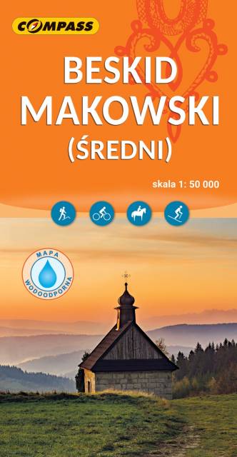
Mapa Beskidu Makowskiego (zwanego także Średnim lub Myślenickim) swoim zasięgiem obejmuje także fragmenty Beskidów: Małego, Żywieckiego i Wyspowego. Najwyższym szczytem jest Mędralowa, pozostałe pasma osiągają wysokość do 700 – 800 m n.p.m. Beskid Makowski jest stosunkowo mało popularny wśród turystów, chociaż jest też dosyć gęsto zaludniony. Na mapie przedstawione zostały szlaki piesze oraz trasy rowerowe, zastosowano także cieniowanie w celu uzyskania wrażenia plastyczności terenu. Mapa offline, którą można zakupić w aplikacji Traseo na urządzenia mobilne, zasięgiem obejmuje tereny od Wadowic na zachodzie po Dobczyce i Rabkę-Zdrój na wschodzie. Rok wydania 2023