Elbląg (0.0 km) • Raczki Elbląskie (5.0 km) • Węgle (13.9 km) • Żukowo (17.7 km) • Jurandowo (19.3 km) • Żółwiniec (21.0 km) • Krzewsk (22.3 km) • Dzierzgonka (25.0 km) • Nowe Dolno (29.2 km) • Stankowo (31.0 km) • Klepa (39.5 km) • Dłużyna (40.1 km) • Węzina (46.0 km) • Komorowo Żuławskie (50.0 km) • Elbląg (63.0 km)
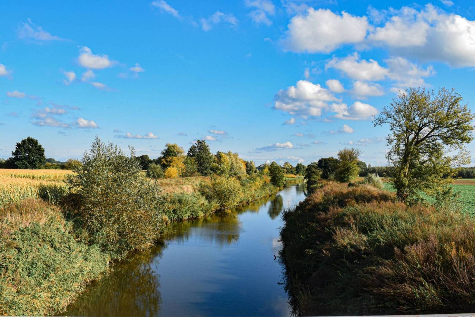
The trail offers very scenic views. Here, the delta landscape of Żuławy meets the moraine of the Elbląg Upland. The route includes a point that until recently was considered the lowest in Poland—the depression in Raczki Elbląskie (1.8 m below sea level)—and in Jelonki, you can see a 14th-century Gothic church and the arcaded cottages characteristic of Żuławy. A picturesque section runs along the Elbląg Canal. Before setting out on the trail or after finishing the trip, it’s worth planning a visit to Elbląg.
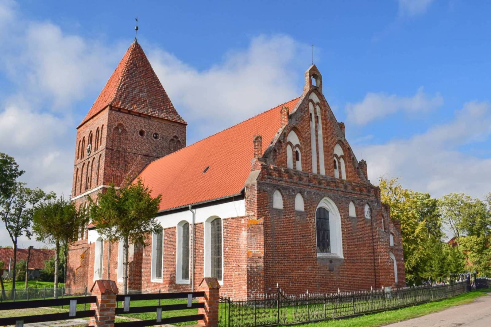
Leaving Elbląg, take the paved road toward Raczki Elbląskie. This straightforward route leads to the bridge over the Tina River. After crossing it, turn left and follow the concrete-slab road along the Tina River, then along the shores of Lake Druzno. In Węgle, you can leave the trail and drive straight to the former Trzy Róże (Drei Rosen) inn. It is a wooden structure standing on a high stone foundation, featuring a bay window, a knee wall, a porch, dormers, and decorative elements at the gables. On the left, on the shore of Lake Druzno, there is a fishing pier belonging to the Polish Angling Association—a site on the Elbląg Canal Cultural Trail. The road runs along the border of the Druzno Lake Nature Reserve. We return to the marked bike trail and head away from Lake Druzno. We ride through Jurandowo and Żółwiniec toward Krzewsko. In Krzewsko, we pass the pumping station on the Balewka River and ride toward Wiśniew along an asphalt road all the way to Dzierzgonka. Here, we cross the historic swing bridge and turn left. Following the embankment of the Dzierzgoń River along a road paved with concrete slabs, we reach Lake Druzno once again. We ride along its embankments all the way to the embankments of the Marwicka Młynówka. From here, we return via a cobblestone path to the paved road running along the Brzeźnica River. Riding along the base of the embankments, we reach the mouth of the Elbląg Canal at Druzno and arrive in Klepa. In Klepa, we cross the bridge over the Elbląg Canal. Just past the bridge, we turn left and reach the canal. Here, we can turn right onto the blue trail or left onto the Elbląg Canal Trail (marked in orange with a slipway symbol) and the Elbląg Canal Region Trail (marked in green) toward Jelonki. Jelonki is an interesting village. It’s worth taking a detour to see the 14th-century church, as well as the Jelonki slipway on the Elbląg Canal. In the center of the village stands a monument commemorating those who fell during World War I, featuring a massive erratic boulder. In Jelonki, the route connects with the Elbląg Canal Bicycle Trail. From Jelonki, you can return to the “Around Lake Druzno” route by taking the same road back to the bridge in Klepa or by following the black connecting trail from the Jelenie slipway to Węzyna. From Klepa, we can continue along the marked trails—the “Around Lake Druzno” Trail (blue) and the Elbląg Canal Trail (orange)—all the way to Węzyna and Komorów Żuławski. This is where the Around Lake Druzno Trail ends. We head north on the paved road, then cover a several-kilometer stretch of cobblestones to Węzina, and continue left on the paved road to Komorów Żuławski. In Komorów, we have a choice: we can turn left and follow the Elbląg Canal Trail (orange) or go straight and take a steep climb up the Elbląg Upland to reach Przezmark via the Pocztylion Trail (yellow). The final section of the route follows a local road to Nowina and then a bike path to Elbląg. The trail’s signage (blue) was renewed in 2020 and is very clear and easy to follow. The route runs in close proximity to the shores of Lake Druzno, along service roads, mostly along the embankments. Significant sections are paved with JOMB-type concrete slabs, which are commonly used on Żuławy roads running alongside lakes. For this reason, hybrid and mountain bikes with good suspension are recommended for this trail.
The route passes through the flat, open landscapes of Żuławy. The most challenging section is located before Przezmark, at the entrance to the Elbląg Upland. This section can be shortened by riding from Komorowo Żuławskie straight to Elbląg along the Elbląg Canal Trail (marked in orange, with a slipway symbol).
Elbląg is connected by rail to major transit hubs in Malbork and Olsztyn, and through them to Gdańsk, Tczew, Słupsk, Koszalin, Szczecin, Ełk, and Białystok.
Elbląg
It is the oldest city in the Warmian-Masurian Voivodeship. It received its city charter in 1237. In 1945, the city center suffered war damage. Several medieval monuments have survived, including St. Nicholas Cathedral from the 13th–15th centuries, the Market Gate from 1309 and the remains of the city fortifications, the former Dominican Church of the Blessed Virgin Mary from the 13th–16th centuries (now the EL Gallery), and the Church of the Body of Christ from the 13th–15th centuries. Since the 1980s, the city center has been undergoing reconstruction, and new buildings are designed to resemble historical ones. It’s worth starting your tour with a walk through the Old Town, where you can admire the reconstructed townhouses. An interesting medieval feature of the Old Town is the Church Path. This narrow passageway between the townhouses currently connects Świętego Ducha Street with Mostowa Street. In the past, three churches stood along it: the Church of the Holy Spirit, the Church of St. Nicholas, and the monastery church dedicated to the Blessed Virgin Mary. A very tall structure (97 m, corresponding to the elevation of the Buczyniec ramp) is the Cathedral of St. Nicholas, featuring a tower with an observation deck. The medieval cathedral was rebuilt several times and suffered severe damage during a fire in 1777 and World War II. Its interior houses many medieval examples of sacred art. Another distinctive landmark is the Market Gate, part of the city’s defensive walls. A statue of Piekarczyk stands next to the gate. According to legend, it was this brave baker’s apprentice who defended the city and its inhabitants against the Teutonic Knights by cutting the rope supporting the portcullis at the Market Gate, thereby blocking the entrance to the city.
In the city, historic architecture stands side by side with other tourist attractions. Among them, it is worth mentioning the Archaeological and Historical Museum in Elbląg, located at 11 Zygmunta Augusta Boulevard, 82-300 Elbląg, tel. 55 232 72 73 ext. 43, muzeumel@elblag.com.pl, www.muzeum.elblag.pl. The museum offers visitors extensive archaeological collections and multimedia exhibits that illustrate, among other things, the history of the city and its surroundings, as well as the daily life of the ancient Truso settlement. The exhibition also features a collection of Kadyń pottery—one of the largest in Europe. The museum is located on the site where a Teutonic Knights’ castle once stood. Remnants of its walls, a malt house, and cellars have survived.
Another place worth visiting is the Galeria EL Art Center, located within the medieval city walls, at 6 Kuśnierska St., 82-300 Elbląg, tel. 55 625 67 84, galeria-el@galeria-el.pl, www.galeria-el.elblag.eu, recommended above all to enthusiasts of local art. Artworks have been collected here since the 1960s. The city also features a collection of public sculptures. You can plan a relaxing break in nature at the 369-hectare Bażantarnia Municipal Forest Park. It stretches across the hills of the Elbląg Upland, crisscrossed by streams and covered with beech and hornbeam forests, which hide natural monuments and the erratic boulder known as Diabelski Kamień. Here you can spot roe deer, red deer, wild boars, and foxes, and listen to birdsong. Within Bażantarnia’s buffer zone lies Chrobrego Hill, a natural lookout point from which you can admire Elbląg and the surrounding area.
On the outskirts of the city lies the Nowa Holandia amusement park (Nowe Pole 1b, 82-300 Nowe Pole, tel. 55 615 10 85, www.rpr.nowaholandia.pl, which is recommended mainly for families with children. It features nature areas with educational trails, a Viking settlement, inflatable attractions, a mini-zoo, and many other attractions.
Lake Druzno
Druzno is a shallow body of water located south of Elbląg, in the Vistula Żuławy region. It was once part of a Baltic Sea bay, but over time it became cut off due to sediment deposition from the Vistula, Nogat, and other rivers. Currently, a waterway runs through it, serving as an extension of the Elbląg Canal. The lake is a nature reserve that primarily protects the breeding grounds of waterfowl and marsh birds. A distinctive feature of the lake is its fluctuating water level (the difference can reach up to 1 m). These changes are caused by winds, intense evaporation, and water seepage into low-lying areas. In the 9th century, the Truso trading port—which was important for the southern Baltic Sea—was located on the Druzne River, near present-day Janów. It served as a center of trade between the Prussians and the Vikings, by whom the settlement was founded. The bike route runs near the site where the remains of the settlement were discovered. It is now farmland located near the S7 road.
Elbląg Upland
A plateau reaching a height of up to 198.5 m (Góra Srebrna), which slopes steeply toward the Vistula Marshes, the Vistula Lagoon, and the Warmian Plain. The plateau is mostly covered by mixed forests.