Giżycko (0.0 km) • Wilkasy (4.5 km) • Wronka (8.4 km) • Szczybały Giżyckie (11.3 km) • Sterławki Małe (15.5 km) • Sterławki Wielkie (20.2 km) • Kronowo (25.7 km) • Doba (30.5 km) • Bogacko (37.7 km) • Sterławki Małe (41.7 km) • Wronka (44.9 km) • Wilkasy (49.3 km) • Giżycko (52.0 km)
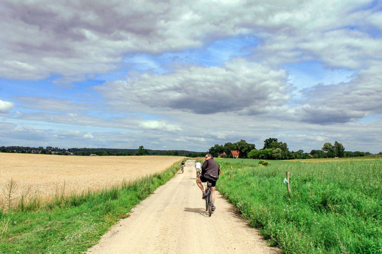
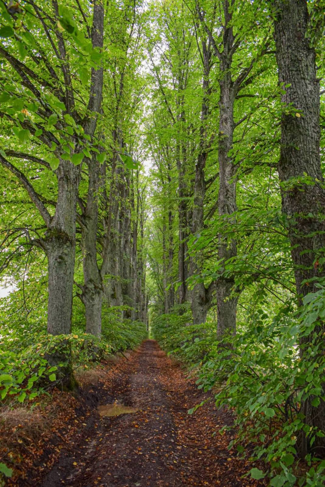
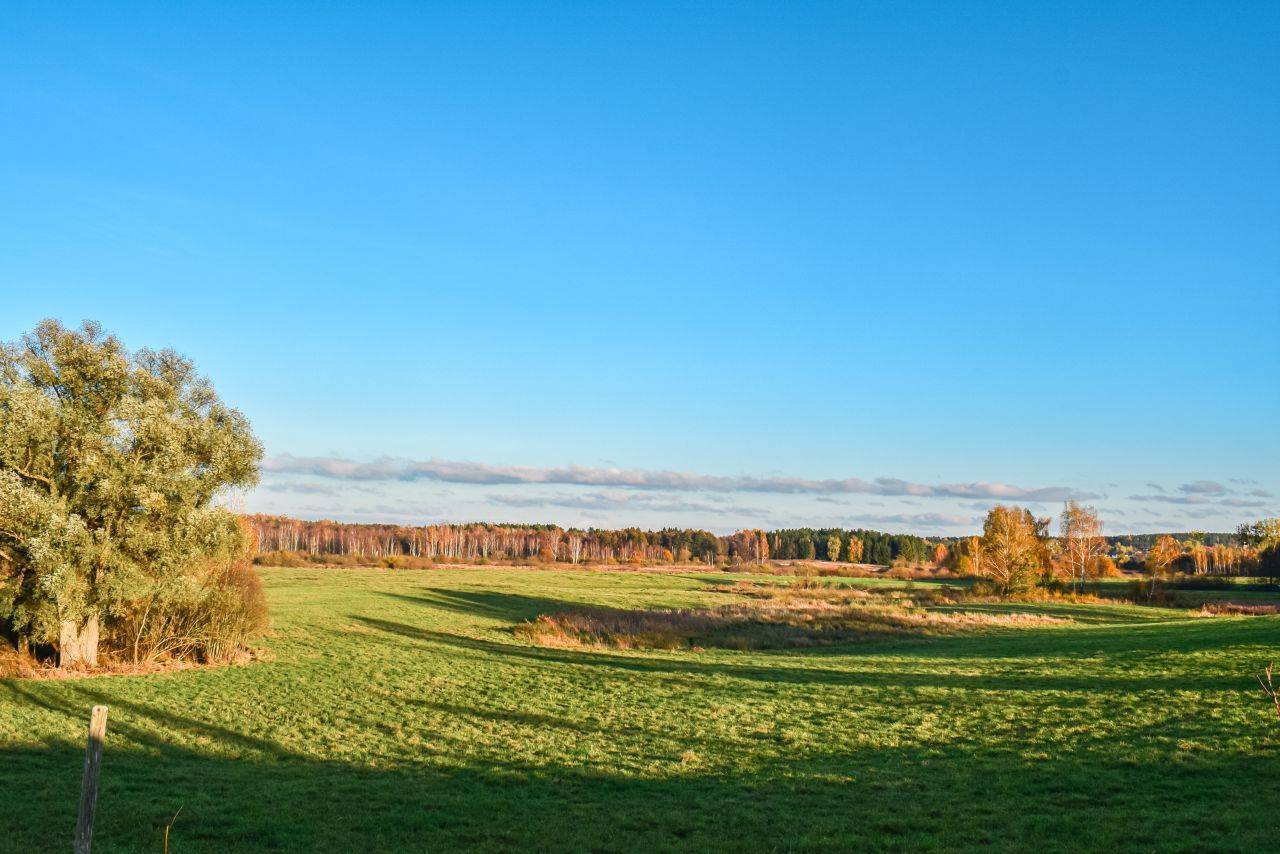
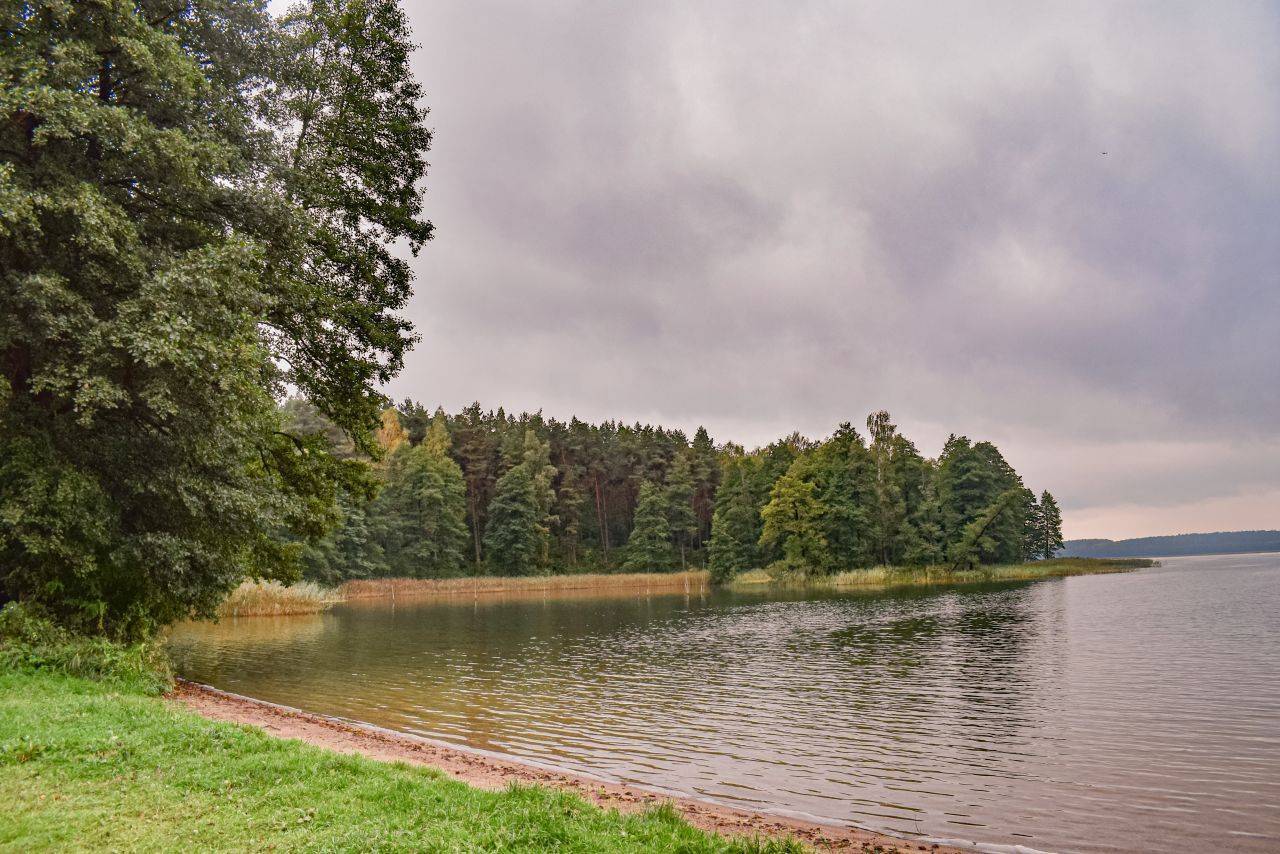
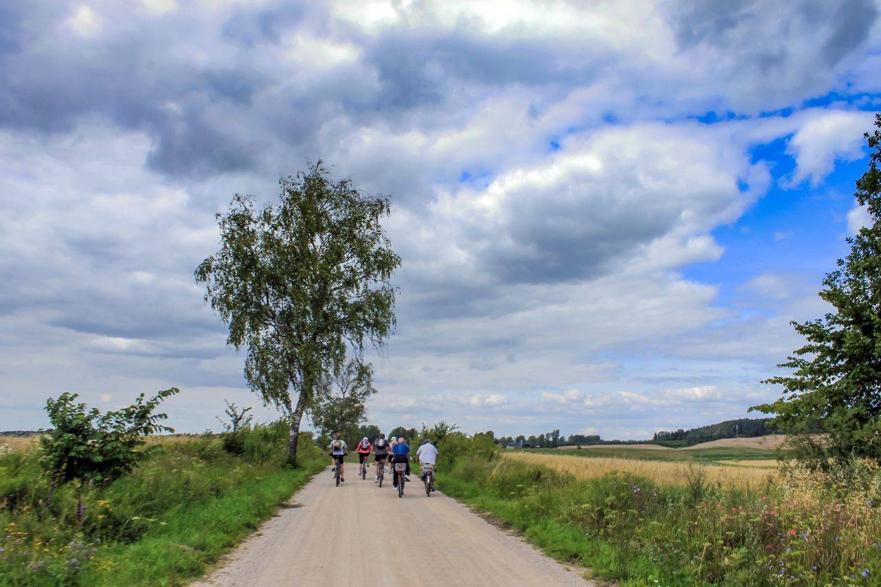
The route can be challenging in places, especially in the northern section, but there are many spots along the way where you can rest by the water. In this part of Masuria, the terrain is gently rolling, mostly covered with fields and meadows. A natural highlight is the linden tree-lined avenue leading to the Schenk zu Tautenberg family chapel, which is undoubtedly one of the most impressive structures of its kind in Masuria. You can round out your bike tour with a visit to Giżycko—including the Teutonic Knights’ castle, Boyen Fortress, and the water tower with its observation deck—as well as a visit to one of Masuria’s most beautiful beaches.
We begin our tour around Lake Dejguny at the Tourist Promotion and Information Center in Giżycko. We cross the swing bridge to the other side of the Łuczański Canal and continue on, past Roger Goemaere Park, toward St. Bruno’s Hill.
Next, we cross the Niegociński Canal and head toward Wilkasy. In this village, you can take a break at the marina. At the roundabout in Wilkasy, we head toward Mrągowo on National Road 59, and then turn right onto Lipowa Street, following the sign for “Wronka 4.” In Wronka, turn left—south—toward Szczybały Giżyckie. Just before the village, there’s a sharp right-hand turn. Along the way, on Lake Okrągłe, you can take a break at a small, secluded beach.
We arrive at Sterławki Małe. At the first buildings in this village, turn left to avoid riding on Provincial Road No. 592. Head left, then follow the gravel road to the paved road, where you turn left toward Sterławki Wielkie.
Beyond the village, we continue along the paved road, following the “Kronowo 4” sign. In Kronowo, tourists have access to a shelter and a small beach on the lake. Here, we begin our tour around the bay of Lake Dejguny. After the village, we turn right onto a gravel road. We continue through the forest and turn right again before emerging into an open area. The gravel surface on the forest road is more uneven. On the right, we pass the marshy floodplain of Lake Dejguny, and on the left—after leaving the forest and before reaching the village of Doba—an avenue of massive linden trees leading to the ruins of the Schenk zu Tautenberg family chapel.
In Doba, we turn onto an asphalt road and head right toward Dziewiszewo. Before reaching the village, we turn right again onto a gravel road, and at the fork in the gravel roads, we turn left toward the grove.
We reach the village of Kamionki. There is a large beach here, but it lacks tourist facilities. From the beach, we turn right onto a gravel road heading south toward the village of Bogacko. Here, too, you can relax on the beach.
In Bogacko, we turn onto an asphalt road, and at the fork just past the village, we turn right off it and continue through farmland. We reach Provincial Road No. 592. We turn toward Sterławki Małe, cross the railroad crossing, and upon reaching the village, we turn left onto a gravel road, going around the bus stop.
We continue through the farmland toward Wronka. In the village, we turn left twice and cross a railroad crossing. Following a gravel road, we reach a neighborhood of single-family homes that is now part of Wilkas. Here, you can relax on the beach with a pier on Lake Tajty. Then, we head east along Przemysłowa Street toward the center of Wilkas. We’ll get back on the paved road, and once we reach National Road 59, we’ll take the pedestrian and bike path running alongside it to the Niegociński Canal. Here, we’ll turn right, ride along the bike path past St. Bruno’s Hill, and return to Giżycko via the route we already know.
At the end of the trip, it’s worth planning a tour of Giżycko: the Teutonic Castle, Boyen Fortress, and the water tower with its observation deck.
For a trip around Lake Dejguny, it’s best to ride a hybrid or mountain bike. This route is recommended primarily for those who enjoy gravel roads, which make up more than half of the route. The trails around the northern part of the lake are considered difficult. You can take a break by the water, on the beaches in Kronowo, Kamionki, and Bogacko, at the marina in Wilkasy, or at the Biały Młyn inn in Sterławki Wielkie, which serves regional cuisine.
Regional trains running on the Olsztyn–Ełk route pass through Giżycko. There are also several long-distance connections.
Lake Dejguny
The lake has a highly varied shoreline, featuring several peninsulas. Among them is the so-called Lisi Ogon, located between Grzybowo and Kronowo. At its base are bunkers dating from World War II. Between 1941 and 1944, they presumably housed a communications center serving the Wolf’s Lair. During this period, the lake became a military zone. A building (destroyed in 1945) was erected on the island and used by Nazi dignitaries. According to local tales, military equipment was sunk in the lake: not only German but also equipment belonging to the Red Army. A dike was built in the southern part of the lake, resulting in the creation of the small Lake Dejgunek. In 1896, a railway line from Kętrzyn to Giżycko—the oldest in Masuria—was routed along it. On the northern shore of the lake lay the village of Dejguny, which was burned down in 1945. No traces of it remain.
School Lake
Lake Dejguny is commonly referred to by locals as Lake Szkolne. The local name refers to the practical training sessions for students of the Fishing School in Giżycko, which used to take place on this body of water.
Sterławki Wielkie
In the center of the village stands the Church of Divine Providence, and across from it, on a small square next to the bus stop, stands a monument commemorating the village’s 600th anniversary. The church was built in 1832. The design was developed in the studio of architect Karl Friedrich Schinkel. The church was renovated in 1884, when a 38-meter-high tower was added. Among the church’s furnishings, the 18th-century wooden crucifix and the 17th-century octagonal brass baptismal font are particularly noteworthy. Along the road, in a former mill, stands the Biały Młyn inn. It is a very popular restaurant serving regional cuisine.
Ruins of the Schenk zu Tautenberg Family Chapel
The chapel was built in 1844. To this day, only two walls—the front and rear—remain of the structure. The ruins of the chapel are situated on a small hill, among the trees. On the door of the building, you can see the remains of relief carvings: a skull and the figure of Death. According to legend, the chapel was built from bricks taken from the ruins of a Teutonic Knights’ castle, which was said to have stood on Gilma Island near Doba.