


Charakterystyka trasy

Komentarze
NA TYCH TRASACH PRZYDA CI SIĘ MAPOPRZEWODNIK LUB MAPA Z NASZEJ APLIKACJI
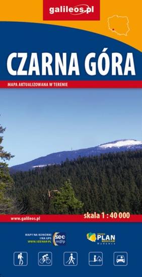
Mapa Czarnej Góry i okolic. Zakres mapy ograniczony jest miejscowościami: Stronie Śląskie, Bystrzyca Kłodzka, Międzylesie i Stare Miasto w Czechach. Znajduje się tu popularny ośrodek narciarski. Na mapie zaznaczono szlaki piesze i rowerowe (z długościami), konne, a także ścieżki przyronicze. Jest oznaczona baza noclegowa i gastronomiczna.
Mapa została wydana jdunie w formie cyfrowej – brak dostępnej wersji papierowej.
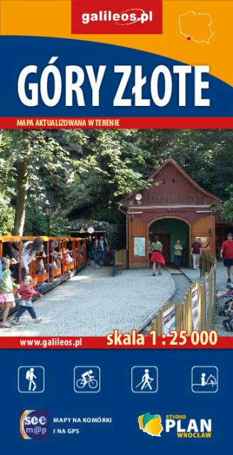
Szczegółowa mapa turystyczna Gór Złotych z uwzględnieniem atrakcji, zabytków, noclegów, gastronomii oraz innych miejsc przydatnych turyście. Zawiera wszystkie znakowane szlaki turystyczne piesze, rowerowe, ścieżki dydaktyczne wraz z kilometrażem. Obejmuje swym zasięgiem pasmo Gór Złotych oraz takie miejscowości jak Paczków, Javornik, Złoty Stok, Lądek Zdrój, Stronie Śląskie.
Rok wydania: 2018
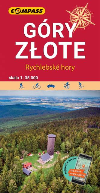
Mapa "Góry Złote" zawiera przebieg tras turystycznych pieszych i rowerowych, aktualizowany w terenie. Mapa obejmuje swym zasięgiem obszar od Paczkowa do Jeseníka (na osi płn. - płd.) oraz od Oldrzychowic Kłodzkich do Jarnołtowa (na osi wsch.-zach.) z zaznaczonymi ciągami komunikacyjnymi, szlakami turystycznymi, pieszymi i rowerowymi z wyznaczonymi odległościami i czasami przejść. Rok wydania 2022
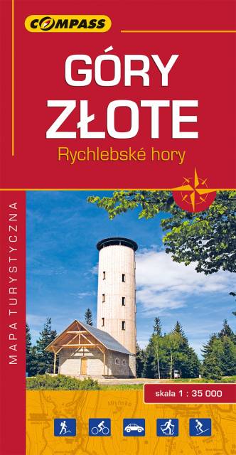
Mapa Góry Złote obejmuje jedno z najdłuższych pasm górskich w środkowej części Sudetów Wschodnich ciągnące się szerokim łukiem długości ok. 40 km od Przeł. Kłodzkiej (489 m n.p.m.) na północnym zachodzie do Przeł. U Trzech Granic (1111 m n.p.m.) na południowym wschodzie. Nazwa pasma nawiązuje do złota wydobywanego przed wiekami w tych górach. Grzbietem Gór Złotych na dł. ok. 32 km wiedzie granica państwowa i po czeskiej stronie przyjmują nazwę Rychlebskich hor (od ruin zamku Rychleby). Zasięg mapy wyznaczają: Złoty Stok i Paczków na północy, Trzebieszowice na zachodzie, Jesenik na południu i Sławnowice na wschodzie.
Na turystów czeka tu sieć pieszych szlaków górskich, które prowadzą ku najatrakcyjniejszym miejscom, jakimi są grzbiety i szczyty górskie, przełęcze, miejsca widokowe, doliny, potoki i rzeki górskie. W okolicach Złotego Stoku, Lądka Zdroju i Stronia Śląskiego wytyczono wiele atrakcyjnych tras spacerowych i rowerowych. Rok wydania 2022
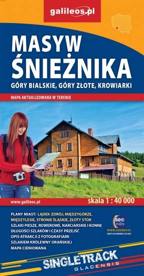
Mapa Masywu Śnieżnika, Gór Złotych i Bialskich oraz Krowiarek, z najwyższym szczytem Ziemi Kłodzkiej - Śnieżnikiem i Ośrodkiem Narciarskim Czarna Góra. Znajdują się tu takie atrakcje jak Wodospad Wilczki i Jaskinia Niedźwiedzia. Na mapie zaznaczono informacje przydatne turyście, jak zabytki, noclegi, granice obszarów chronionych, szczególnie atrakcyjne miejsca zaznaczono żółtą ramką. W miejscowościach opisano nazwy ulic. Podano aktualne przebiegi szlaków pieszych, rowerowych, narciarskich i konnych, łącznie z kilometrażem, co pozwoli łatwiej zaplanować wycieczkę. Przy szlakach pieszych podano także orientacyjny czas przejścia.
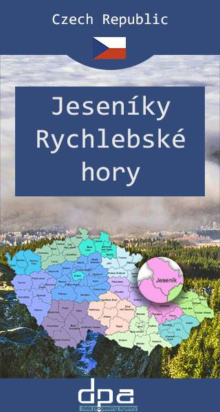
Mapa przedstawia dwa niewielkie pod względem wysokości pasma górskie Sudetów rozciągające się na granicy Polski i Czech, na pograniczu Moraw i Śląska. W Jesionikach najbardziej rozpoznawalnym szczytem jest Pradziad (1491 m n.p.m.) znajdujący się w paśmie górskim Wysokiego Jesionika, stanowiący jednocześnie najwyższy szczyt Śląska Czeskiego, Górnego Śląska i Moraw i całych Sudetów Wschodnich. Na jego szczycie ustawiona jest charakterystyczna wieża telewizyjna przypominająca kształtem rakietę kosmiczną. Wierzchołek jest dobrze widoczny z wielu punktów widokowych oraz wyższych miejsc w promieniu nawet kilkuset kilometrów, nie tylko Czech, ale również południowo zachodnich województw: opolskiego czy dolnośląskiego. Góry Złote to jedno z najdłuższym pasm Sudetów, rozciągające się z Przełęczy Kłodzkiej na północnym zachodzie, aż do Przełęczy Ramzovskiej. Tereny Gór Złotych są słabo zaludnione i bardzo atrakcyjne dla turystyki pieszej oraz narciarskiej. Najsłynniejszą atrakcją regionu jest dawna podziemna kopalnia złota i arsenu w Złotym Stoku.