Trasy
Mapy turystyczne
PRO
Trasy
Mapy turystyczne
PRO
Trasy turystyczne
Trasy trekkingowe
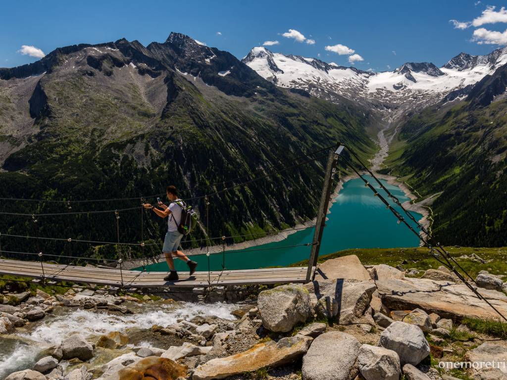
Alpejski trekking: Olpererhutte - Friesenbergscharte - Peterskopfl
Alpejski trekking: Olpererhutte - Friesenbergscharte - Peterskopfl
17 km
5 h 42 min
1211 m
1204 m
Ginzling
Wszystkie zdjęcia(4)
Wszystkie zdjęcia(4)
onemoretrip.pl
3.4/6
Charakterystyka trasy
2017-07-06
Ginzling
Długość trasy:
17 km
Suma przewyższeń:
1211 m
Suma spadków:
1204 m
Średni czas potrzebny na pokonanie trasy:
5 h 42 min
Ocena trasy:
3.4/6
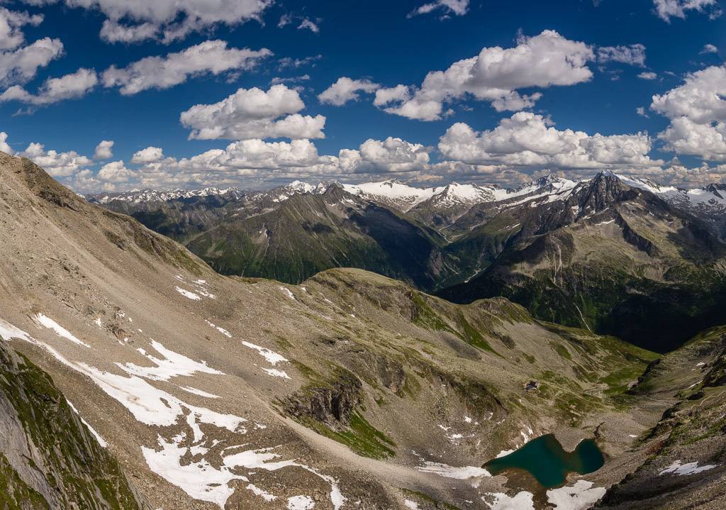
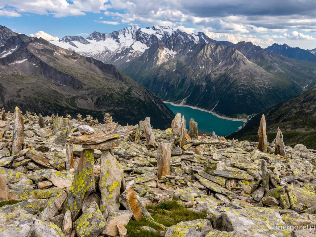
Trekking w alpejskiej dolinie Zillertal wzdłuż Berliner Höhenweg: z zalewu Schlegeis do Olpererhutte, na przełecz Friesenbergscharte i na szczyt Peterskopfl. Pełen opis trasy:
http://www.onemoretrip.pl/austria-zillertal-olpererhutte/
Więcej
Mniej
Komentarze