Gołdap (0.0 km) • Piękna Góra (2.3 km) • Suczki (4.6 km) • Pietrasze (7.8 km) • Bezkrwawe Safari (10.25 km) • Zatyki (10.8 km) • Rudzie (16.3 km) • Nasuty (18.2 km) • Rudzie (20.9 km) • Grabowo (23.6 km) • Jabłońskie (30.3 km) • Gołdap (34.1 km)
The route allows you to explore the so-called “Humpled Masuria.” It winds through picturesque, very undulating terrain. There’s something for everyone here—whether you’re an animal lover, an outdoor enthusiast, or a foodie—as the trail passes near a safari park and a deer farm, as well as alongside the “Piękna Góra” Sports and Recreation Center, where in the summer you can enjoy a rope course, go bowling, or try the region’s specialty—kartacze.
We start in Gołdap, on Wojska Polskiego Street (Provincial Road No. 650), on the Green Velo bike trail. We head south along Pod Piękną Górą Street toward Konstytucji 3 Maja Street. On the right, we pass the “Piękna Góra” Sports and Recreation Center.
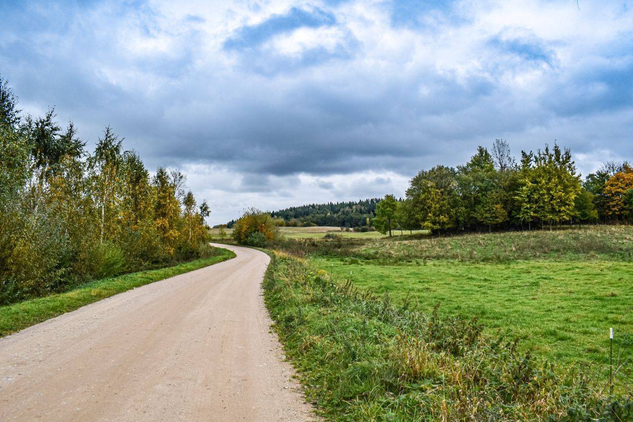
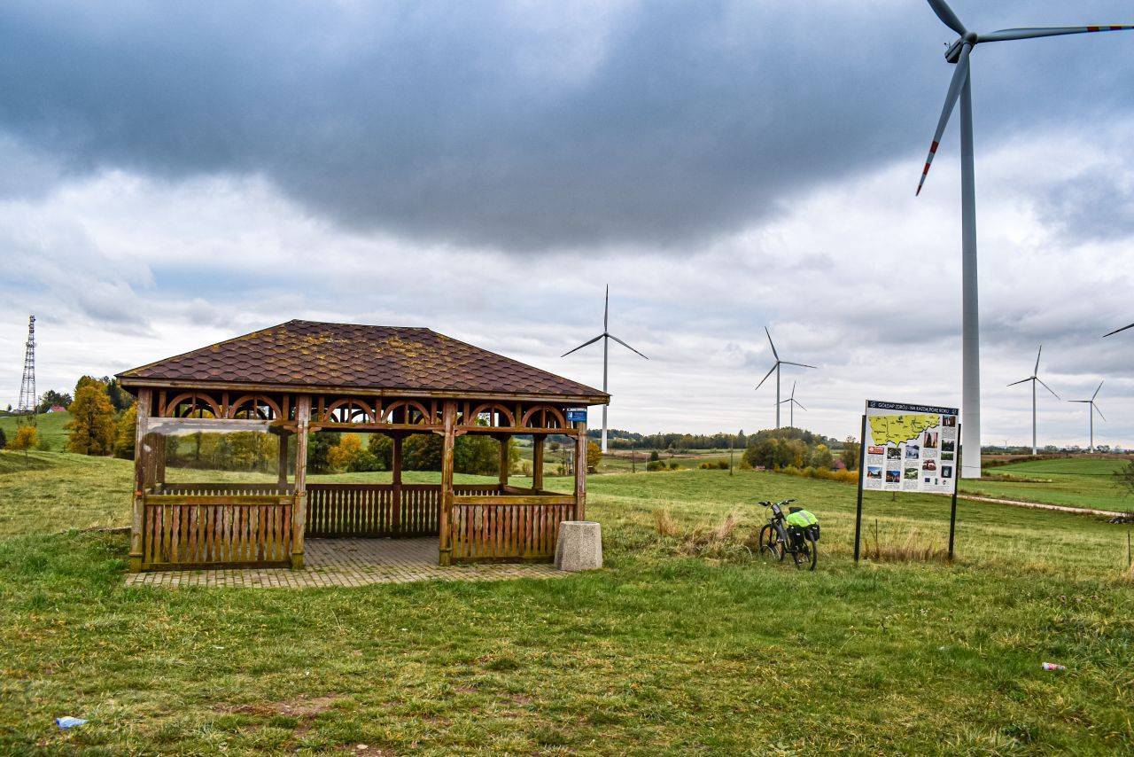
Once outside the town, we turn off the paved road onto a well-maintained, hard-packed dirt road. At the intersection with a perpendicular gravel road, we turn left, and after a short while, right. We arrive at the village of Suczki. Its name likely derives from the nickname “Suczko.” The villagers were the first in East Prussia to voluntarily change the village’s name as early as 1933, renaming it Hitlershöhe, or “Hitler’s Hill.” On the hill, there is a shelter for cyclists. From here, a magnificent panorama of the surrounding hills, pastures, and meadows unfolds. To the south, the green massif of Tatarska Góra (308 m above sea level), one of the peaks of the Szeskie Hills, is clearly visible.
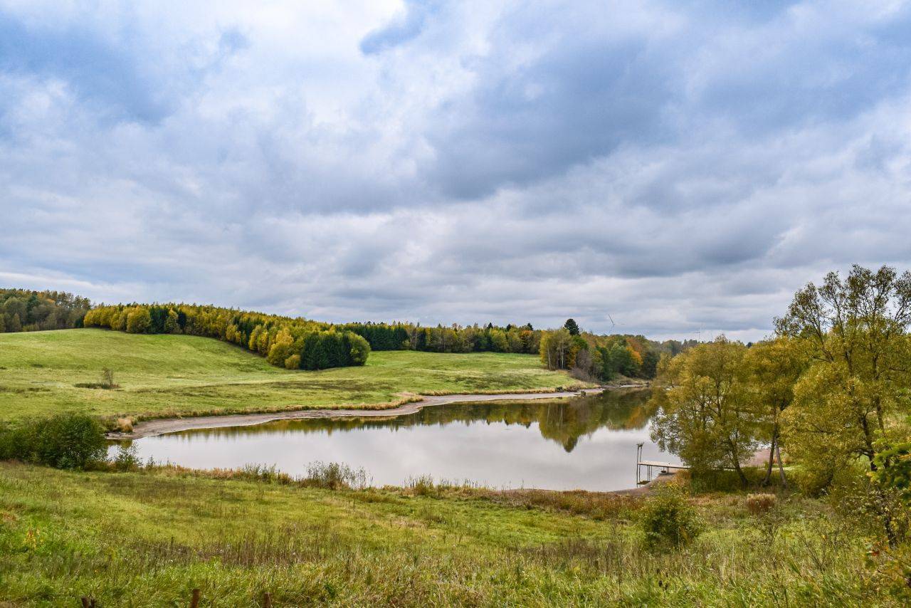
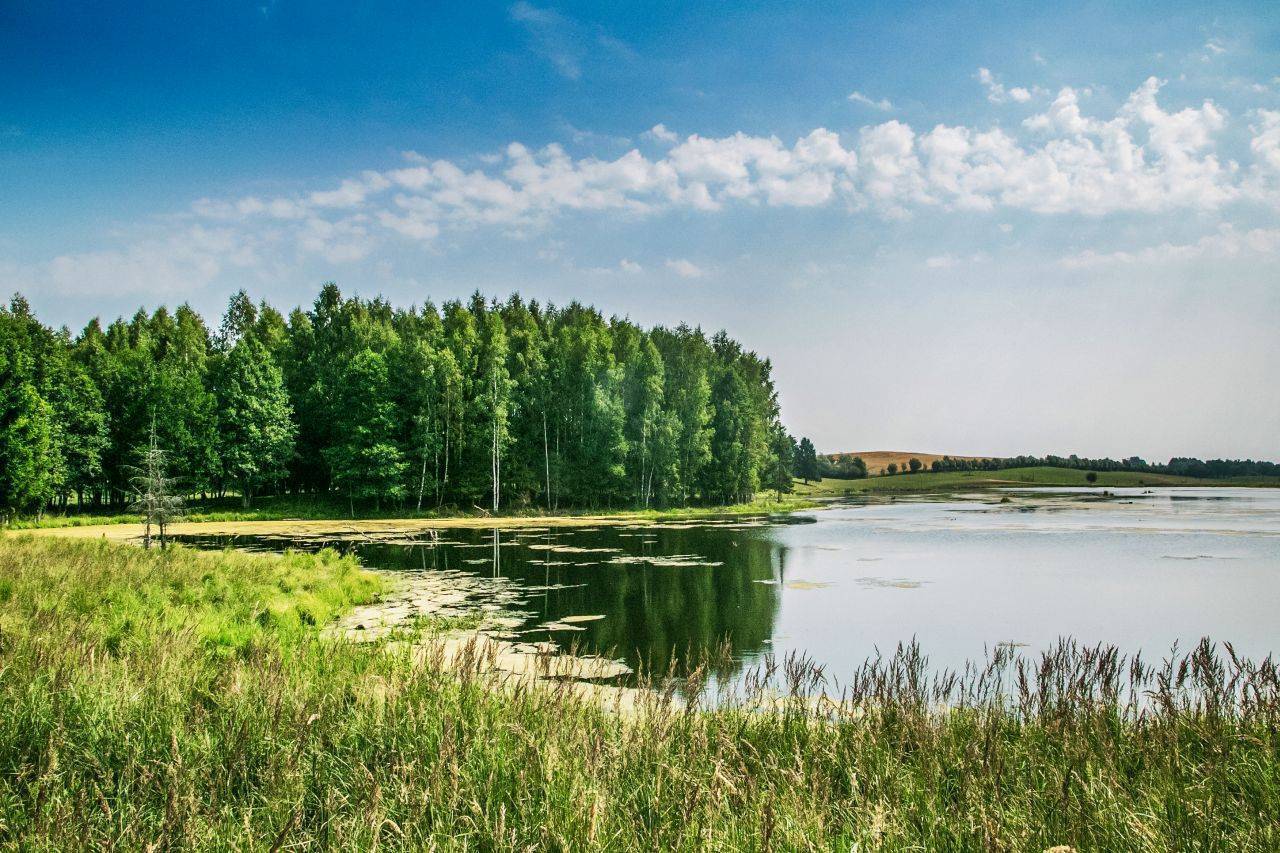
We continue on a well-maintained gravel road through the village of Pietrasze. On the left, we pass a fence behind which the animals of the Bloodless Safari live. However, before we reach the main entrance to this zoo, we can take advantage of a bike shelter, picturesquely situated by a small lake. Past the shelter, we turn left toward the park entrance. The next village on the route is Zatyki. Here, we turn onto an asphalt road and head right to the fork in the road before the village of Wilkasy, where we turn right again. We continue along a longer stretch alongside a fenced-off area on the left. It belongs to the deer farm in Rudzie. This is one of the most spectacular projects in Europe in the new branch of agriculture known as farmed deer breeding. The farm covers approximately 350 ha, its fence is 33 km long, and the herd numbers over 1,350 animals. In Rudzie, we turn right and head through Nasuty toward Grabów. At the entrance to the village, on the right, there is a recreational area where you can take a break.
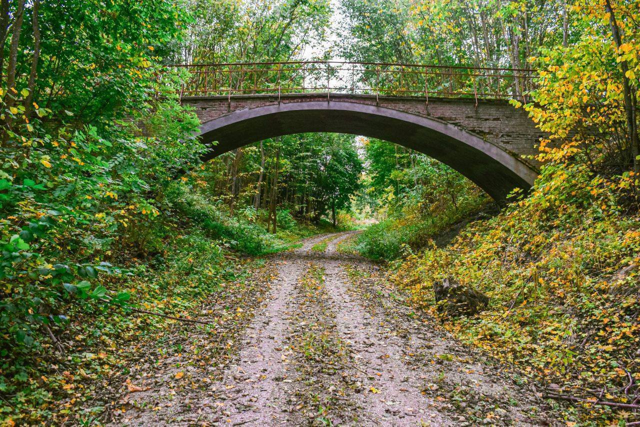
The next section of the route follows Provincial Road No. 650. We turn left and then follow the blue bike trail toward Rożyńsk Wielki. Before we get there, however, we ride onto a railroad embankment along which the Green Velo trail runs. We turn right and return to Gołdap via Jabłońskie. The route is very safe, running along roads with minimal car traffic. However, it passes through heavily undulating terrain, which—even with the very good road surface—may pose challenges for beginner cyclists. Along the way, you can take advantage of rest areas: bike shelters in Suczki and by the lake near Bezkrwawe Safari. Gołdap is located right on the border with the Kaliningrad Oblast, along National Road No. 65, 65 km north of Ełk and 54 km northwest of Suwałki. It is not possible to reach the town with a bicycle via public transportation. The nearest operating train station is located 65 km from Gołdap, in Giżycko.
TheSzeskie Hills
The Szeskie Hills are a range of terminal moraines stretching meridionally between Olecko and Gołdap over a distance of approximately 30 km. Their name derives from the village of Szeszki. The hills form a distinct ridge in the landscape. In their northern part, relative elevations exceed 100 m. The highest peak is Góra Szeska (309 m above sea level)—the third-highest hill in the Polish Lake District (after Wieżyca and Dylewska Góra). To the north of it stretches a range of hills, the highest of which are: Góra Rudzka (284 m above sea level), Góra Tatarska (308 m above sea level), and Gołdapska Góra, commonly known as Piękna Góra (272 m above sea level). The climate here is noticeably cooler (the average temperature is about 0.5–1°C lower than in the rest of the province). The terrain and the long-lasting snow cover make it possible to practice both downhill and cross-country skiing.
The Sports and Recreation Center takes advantage of the area’s natural assets. In winter, a ski resort operates here, and from spring through fall, it is frequently visited by cycling enthusiasts. On the hill, there is a rope park that provides a good dose of adrenaline. Three rock-climbing routes with a total length of 540 m are available. The inn at the foot of the hill houses a bowling alley with two 25.51-meter-long lanes, and at the top of the hill there is a café that rotates on its own axis. It completes a full rotation in 50 minutes. During this time, you can admire the panorama of the Garbate Masuria region, including Gołdap, and the mysterious Romincka Primeval Forest in the distance.
Bloodless Safari
Located near Gołdap, Bezkrwawe Safari, Konikowo 11, 19-500 Gołdap, tel. 505 980 713, recepcja@zajazd-rudziewicz.pl, www.zajazd-rudziewicz.pl, is a 300-hectare fenced area serving as a range for fallow deer, red deer, and Manchurian deer, as well as Europe’s only maral deer. The reserve is also home to mouflons, wild Arui sheep, Przewalski’s horses, tarpans, long-haired yaks, guanacos, llamas, horses, ponies, Highland and Hereford cattle, Cameroonian and Skudde sheep, goats, and even zebras and camels. You can also observe various bird species: white-tailed eagles, cranes, herons, and cormorants nesting in the marshes, as well as exotic birds, including ostriches and peacocks. Tours of the farm are conducted in an off-road vehicle.
Grabowo
A village founded in 1585. The late-Gothic church (late 16th century) dates from this period; it was rebuilt in 1680 and 1732 (when the tower was added).