

Charakterystyka trasy

Komentarze
NA TYCH TRASACH PRZYDA CI SIĘ MAPOPRZEWODNIK LUB MAPA Z NASZEJ APLIKACJI
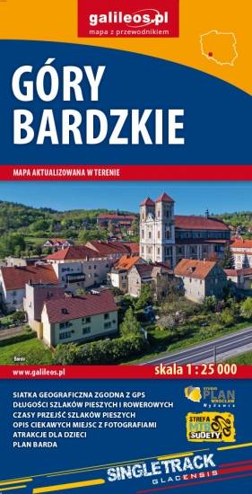
The Bardzkie Mountains are a mountain range in the Central Sudetes in the Lower Silesian Voivodeship, southern Poland. Ząbkowice Śląskie, Srebrna Góra, Bardo and Kłodzko are the biggest towns covered by the map. Tourist attractions, cycling and walking trails are marked on the map, as well as monuments, protected areas borders, accomodation facilities.
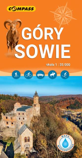
The Owl Mountains (Polish: Góy Sowie, Czech: Soví hory) are a mountain range in the Central Sudetes in south-western Poland. They run between the historic Lower Silesian region and Kłodzko Land. The highest peaks are Wielka Sowa (1,014 m) and Kalenica (964 m) with its viewing tower. The range includes a protected area called The Owl Mountains Landscape Park. The mountains are covered by a network of tourist trails, marked on the map.
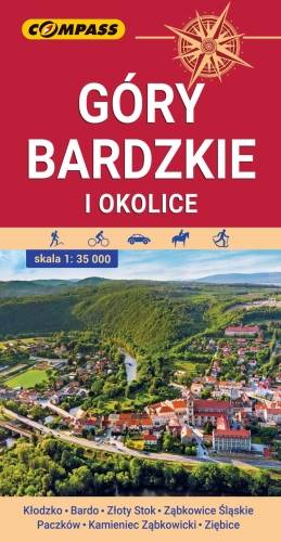
Mapa przedstawia najdalej na wschód wysunięte pasmo górskie w Sudetach Środkowych, a także dodatkowo część Gór Sowich i Gór Złotych. Zasięg mapy wyznaczają: Ząbkowice Śląskie na północy, Ołdrzychowice Kłodzkie i Złoty Stok na południu, Wolibórz na zachodzie i Paczków na wschodzie. Na mapie znalazły się także plany miast: Kłodzko centrum, Bardo, Złoty Stok, Ząbkowice Śląskie, Paczków, Kamieniec Ząbkowicki, Ziębice. Na mapie zastosowano cieniowanie w celu uzyskania wrażenia plastyczności rzeźby terenu. Mapę offline można zakupić w aplikacji Traseo na urządzenia mobilne. Rok wydania 2021
The map covers: from Kłodzko to Nysa, north to Strzelin and Dzierżoniów. It contains crucial information for any tourist, including the location of monuments, accommodation facilities, all hiking trails, educational paths, bicycle routes, and the recently fashionable Singletracks. Their lengths are given for easy reading. The map is described on a WGS 84 grid, compatible with Polish navigation systems.
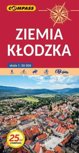
The map presents the region of Kłodzko Land (Ziemia Kłodzka) in the Sudety mountains, western Poland. It consists of the Kłodzko Valley and the surrounding Sudety mountains. Map range: Złoty Stok and Javornik to the east, Kudowa Zdrój and the pass of Stołowe Mountains to the west, Ząbkowice Ślaskie to the north and Kraliky town to the south.