


Charakterystyka trasy

Komentarze
NA TYCH TRASACH PRZYDA CI SIĘ MAPOPRZEWODNIK LUB MAPA Z NASZEJ APLIKACJI
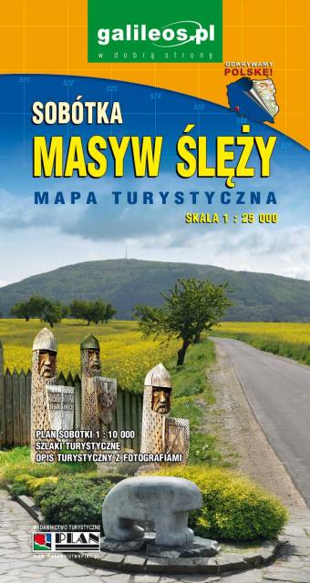
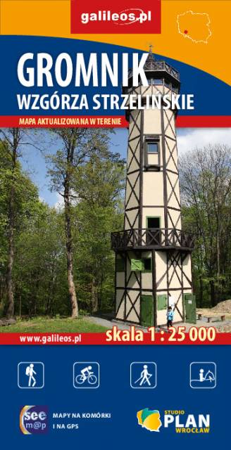
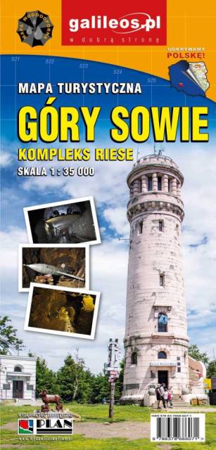
Mapa Gór Sowich Wydawnictwa Galileos z aktualnym przebiegiem szlaków turystycznych, zarówno pieszych jak i rowerowych. Wraz z czasem przejść. Zasięg mapy na północy wyznacza Świdnica, na wschodzie Bielawa, na południu Srebrna Góra i Nowa Ruda, na zachodzie Jedlina Zdrój. Rok wydania 2020
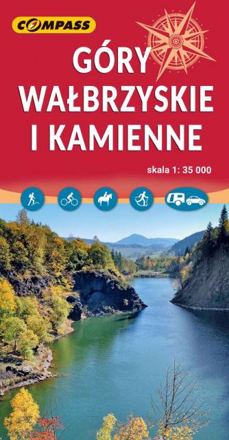
The Wałbrzyskie Mountains and The Stone Mountains are mountain ranges in the Central Sudetes on the border of the Czech Republic and Poland. The map also presents Adršpašskoteplické skály in Czech Republic, which is famous tourist destination.
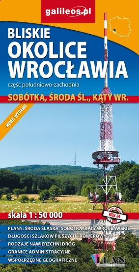
Map in detailed scale range: Wrocław city center to the east, Środa Śląska to the west, Słupice, Kełczyn, Oleszna and Radzików to the south, Ligota Piękna, Gosławice and Brodno to the north. A lot of information useful for tourists is marked on the map: monuments, accomodation facilities, protected areas, cycling and walking trails, as well as street names and the type of road surface.
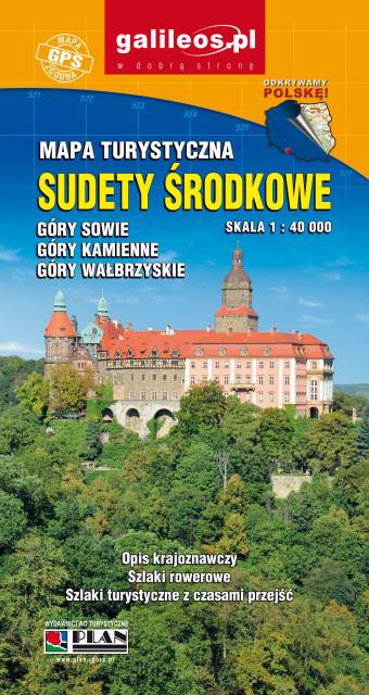
An updated tourist map of the Central Sudety Mountains, with marked hiking and cycling trails. The map includes, among others, the Owl Mountains, the Wałbrzyskie Mountains and Foothills, the Kamienne Mountains and a large part of the Broumovska Vrchovina with the rock towns of Aderszpasko Teplickie Rocks. The map includes tourist attractions and practical information. Year of publication 2020