


Piotr Krawczykpiotr__krawczyk
Charakterystyka trasy
2018-08-15
Polska, małopolskie, Bochnia, powiat bocheński

Długość trasy:
10 kmSuma przewyższeń:
174 mSuma spadków:
168 mOcena trasy:
1.0/6Komentarze
NA TYCH TRASACH PRZYDA CI SIĘ MAPOPRZEWODNIK LUB MAPA Z NASZEJ APLIKACJI
MAPA TURYSTYCZNA W APLIKACJI TRASEO
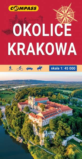
Okolice Krakowa
Mapa Krakowa i okolic przedstawia najważniejsze tereny rekreacyjne tego rejonu, m.in. Puszczę Niepołomicką, Dolinki Podkrakowskie i Ojcowski Park Narodowy. Obszar mapy "Okolice Krakowa" zamknięty jest przez Bochnię na wschodzie, Wadowice na zachodzie, Sułoszową na północy oraz Myślenice na południu. Rok wydania: 2022
MAPA TURYSTYCZNA W APLIKACJI TRASEO
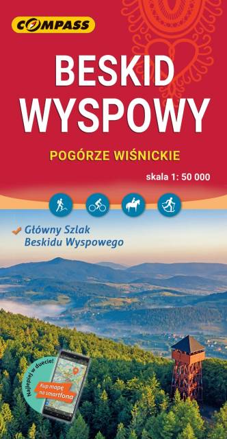
Beskid Wyspowy
Mapa w wersji elektronicznej, którą można otworzyć jako jeden z podkłądów offline w aplikacji mobilnej Traseo. Mapa wydawnictwa compass obejmuje zasięgiem Beskid Wyspowy oraz Pogórze Wiśnickie i wschodnią część Pogórza Wielickiego. Od północy ogranicza ją Brzesko i Bochnia, na południu Rabka i Stary Sącz, na zachodzie - Jordanów, a na wschodzie - Nowy Sącz. To świetna alternatywa dla mapy drukowanej. Rok wydania: 2023