


Baka Yabashibakayabashi
Charakterystyka trasy
2020-06-03
Siestrzeń

Długość trasy:
305 kmSuma przewyższeń:
183 mSuma spadków:
167 mOcena trasy:
1.0/6Komentarze
NA TYCH TRASACH PRZYDA CI SIĘ MAPOPRZEWODNIK LUB MAPA Z NASZEJ APLIKACJI
MAPA TURYSTYCZNA W APLIKACJI TRASEO
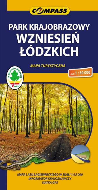
Łódź Hills Landscape Park
Łódź Hills Landscape Park is a protected area in central Poland, established in 1996, covering an area of 137.67 square kilometres (53.15 sq mi). The Park lies within Łódź Voivodeship: in Brzeziny County (Gmina Brzeziny, Gmina Dmosin), Łódź East County (Gmina Nowosolna) and Zgierz County (Gmina Stryków, Gmina Zgierz). Within the Landscape Park are three nature reserves.
MAPA TURYSTYCZNA W APLIKACJI TRASEO
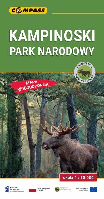
Kampinos National Park
The Kampinos National Park is situated in east-central Poland, in the Masovian Voivodeship, on the north-western outskirts of Warsaw. It covers the ancient Kampinos Forest. In January 2000 the area was added to UNESCO’s list of biosphere reserves. On the map walking, cycling, skiing and horse trails are marked, e.g. Kampinos Cycling Trail whose total length is around 200 km.

MAPA TURYSTYCZNA W APLIKACJI TRASEO
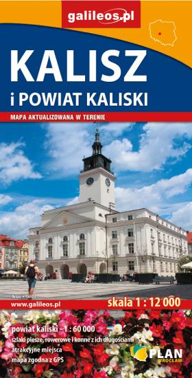
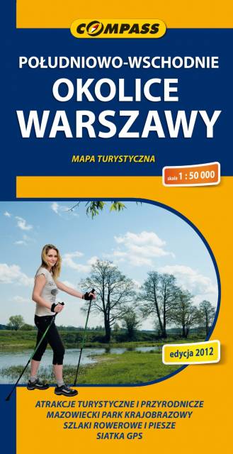
South-Eastern Warsaw Area
Map range: Zielonka to the north, suburban Warsaw to the west, Garwolin to the south, Stoczek Łukowski to the east. The region is known for numerous health resorts and large pin woods of Masovian Landscape Park. It is covered by network of walking and cycling trails, marked on the map.