

Charakterystyka trasy

Komentarze
NA TYCH TRASACH PRZYDA CI SIĘ MAPOPRZEWODNIK LUB MAPA Z NASZEJ APLIKACJI
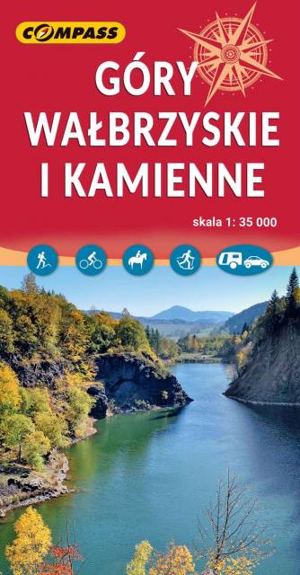
Mapa obejmuje Góry Wałbrzyskie, Góry Kamienne i Adszprasko-Teplickie Skały po czeskiej stronie. Na mapie są wszystkie elementy potrzebne turyście do poruszania się w tym ciekawym terenie. Podane odległości i czasy przejść pomogą zaplanować wycieczkę. Rok wydania 2023
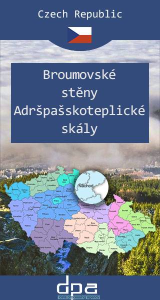
Mapa obejmuje bardzo atrakcyjną turystycznie czeską część Gór Stołowych. Podobnie jak w polskiej części masywu, także ten region obfituje w przeróżne ciekawe formacje skalne. Ciekawym szczytem Broumowskich Ścian jest leżąca nieopodal Koruna z punktem widokowym i interesującymi formacjami skalnymi na szczycie, natomiast za największą atrakcję uchodzi góra Hvězda (674 m n.p.m.), na której szczycie, na skalnej krawędzi, znajduje się barokowa kaplica Matki Boskiej Śnieżnej, wykonana z piaskowca ciosowego (zbudowana na podstawie pięcioramiennej gwiazdy). Miasta skalne znajdujące się w Adršpašskoteplickich skálach są jednym z najbardziej znanych piaskowcowych terenów wspinaczkowych na świecie. Między labiryntami form skalnych przebiega płatna trasa turystyczna niewymagająca żadnej wprawy przy chodzeniu po górach, składająca się z wygodnych schodków, poręczy, drabin i miejscami sztucznie wybudowanych chodników i platform. W pobliżu znajduje się też Teplickie Skalne Miasto – nieco mniej znane od Adršpašskoteplickich skál, lecz rozleglejsze, wyższe i bardziej dzikie.
Rok wydania: 2016/2017
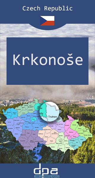
Karkonosze to najwyższe pasmo górskie Sudetów i zarazem Czech rozciągające się na przestrzeni ok. 40 km (od Przełęczy Szklarskiej na zachodzie do Przełęczy Lubawskiej na wschodzie). Karkonosze zajmują powierzchnię ok. 650 km², z czego do Polski należy 185 km² czyli 28,46%. Głównym grzbietem gór przebiega granica polsko-czeska. Najwyższym szczytem jest Śnieżka (1602 m n.p.m.) – najwyższy szczyt Czech, Sudetów i Śląska. Karkonosze należą do Światowej Sieci Rezerwatów Biosfery UNESCO.
Rok wydania: 2016/2017
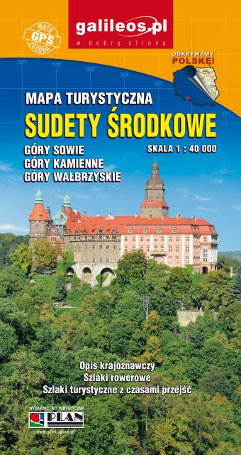
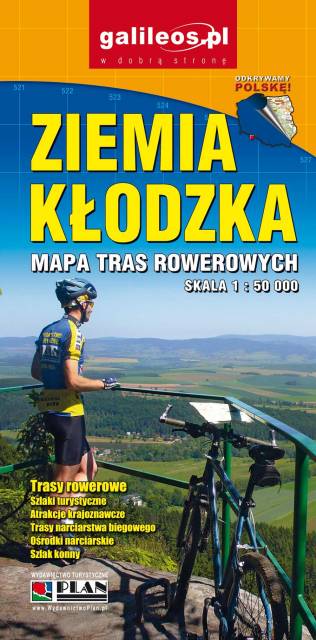
Zaktualizowana w terenie mapa turystyczna Sudetów Środkowych z wyszczególnionymi szlakami pieszymi i rowerowymi. Mapa obejmuje m.in. Góry Sowie, Góry i Pogórze Wałbrzyskie, Góry Kamienne oraz dużą część Broumovskiej Vrchoviny ze skalnymi miastami Aderszpasko Teplickich Skał włącznie. Na mapie uwzględniono atrakcje turystyczne oraz informacje praktyczne. Rok wydania 2020
Wybrać około 100 atrakcji z tego regionu to niezwykle trudne zadanie. Miejsc szczególnych, wartych odwiedzenia jest tutaj znacznie więcej. Subiektywnego wyboru dokonał – opierając się na doświadczeniu jako pilota wycieczek, przewodnika turystycznego i górskiego – Waldemar Brygier (naszesudety.pl). Wśród polecanych atrakcji: zamki, pałace, muzea, skanseny, kopalnie, twierdze, osobliwości przyrody, uzdrowiska i wiele innych. Zapraszamy do lektury! Mapę offline można zakupić w aplikacji Traseo na urządzenia mobilne. Rok wydania 2019