


Charakterystyka trasy

Komentarze
NA TYCH TRASACH PRZYDA CI SIĘ MAPOPRZEWODNIK LUB MAPA Z NASZEJ APLIKACJI
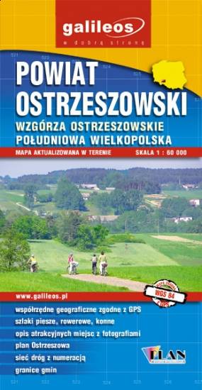
Mapa turystyczna Powiatu Ostrzeszowskiego, zawiera sieć dróg z numeracją, granice gmin.Na mapie zaznaczono informacje przydatne turyście, jak zabytki, noclegi, granice obszarów chronionych. W miejscowościach opisano nazwy ulic. Podano przebiegi szlaków pieszych i rowerowych. Ukształtowanie terenu pokazano przy pomocy warstwic o cięciu co 10 m.

Mapa powiatu kaliskiego ze wszystkimi potrzebnymi turyście informacjami. Zaznaczono szlak kulinarny Kaliskie Smaki, szlak Kościołów Drewnianych Ziemi Kaliskiej i szlaki Dębów i Paproci oraz wszystkie inne szlaki turystyczne i rowerowe.
Rok wydania: 2017
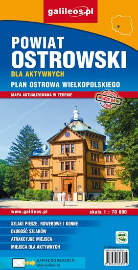
Mapa powiatu ostrowskiego w skali 1:70 000, w skład którego wchodzą gminy: Ostrów Wielkopolski, Nowe Skalmierzyce, Odolanów, Raszków, Przygodzice, Sieroszewice, Sośnie. Szczególnie atrakcyjne miejsca zaznaczono żółtą ramką. Podano aktualne przebiegi szlaków pieszych, rowerowych i dydaktycznych, łącznie z kilometrażem, co pozwala łatwiej zaplanować wycieczkę. Za pomocą wyraźnych, charakterystycznych znaków wskazano miejsca, gdzie można aktywnie spędzić wolny czas. Na mapie zaznaczono miejscowości, drogi, lokalizację obwodnicy Ostrowa Wielkopolskiego, zabytki, ważniejsze noclegi, łowiska, stadniny koni, parki linowe, przystanie żeglarskie, korty tenisowe, strzelnice sportowe, hale sportowe oraz kąpieliska i baseny. Ukształtowanie terenu pokazano przy pomocy warstwic o cięciu co 10 m. Obszar mapy ograniczony jest współrzędnymi 17°25’ - 18°14’ długości geograficznej wschodniej oraz 51°24’-51°48’ szerokości geograficznej północnej.

Mapa województwa łódzkiego, na której zaznaczono miejscowości, drogi, tereny leśne, parki krajobrazowe, zabytki, kościoły, zabytki, ośrodki aktywności konnej i wodnej oraz główne szlaki rowerowe. Kolorem żółtym wyróżniono miejsca i miejscowości warte odwiedzenia.