

Charakterystyka trasy

Komentarze
NA TYCH TRASACH PRZYDA CI SIĘ MAPOPRZEWODNIK LUB MAPA Z NASZEJ APLIKACJI

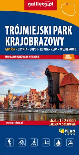
Mapa Trójmiasta obejmuje swoim zasięgiem obszar Trójmiejskiego Parku Krajobrazowego od Wejherowa przez Redę, Rumię, Gdynię, Sopot aż do Gdańska. Na mapie ujęto wszystkie informacje przydatne turyście. Podano aktualne przebiegi szlaków pieszych, rowerowych, konnych, nordic walking i konnych, łącznie z kilometrażem.
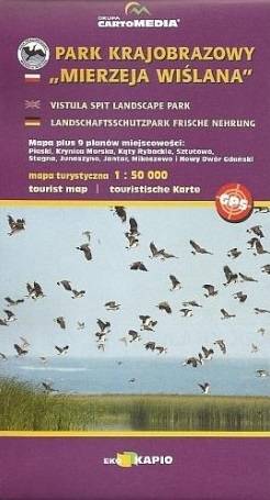
Mapa turystyczna "Park Krajobrazowy Mierzeja Wiślana" została opracowana we współpracy z pracownikami tegoż Parku, dzięki czemu stanowi dokładne i rzetelne źródło informacji na temat tego obszaru. Mapa Mierzei Wiślanej doskonale nadaje się do uprawiania zarówno turystyki pieszej, jak i rowerowej. Mapa swoim obszarem zamyka się na zachodzie przy Mikoszewie, na wschodzie zaś przy Fromborku.

Mapa Kociewia i Powiśla w części zachodniej obejmuje obszar zamknięty przez Skarszew na zachodzie, Kwidzyn na południu, Malbork na wschodzie i Tczew na północy. Mapa zawiera szczegółowy obraz terenu, wraz ze szlakami i atrakcjami turystycznymi. Na mapie Powiśla i Kociewia znajdziemy m.in. Szlak Zamków Powiśla, Szlak Grzymisława, EuroVelo 9 i Szlak Kopernikowski.
Kociewie jest to region etnograficzno-kulturowy na Pomorzu Gdańskim, położony na lewym brzegu Wisły w dorzeczu Wdy i Wierzycy, obejmujący wschodnią część Borów Tucholskich. W przybliżeniu Kociewie zajmuje obszar obecnych powiatów starogardzkiego, tczewskiego i północnej części świeckiego, zamieszkany przez ok. 350 tys. mieszkańców. Część mieszkańców regionu posługuje się gwarami kociewskimi.

Mapa Kociewia i Powiśla w części wschodniej obejmuje obszar zamknięty przez Białą Górę na zachodzie, Kwidzyn na południu i Elbląd na północnym wschodzie. Mapa zawiera szczegółowy obraz terenu, wraz ze szlakami i atrakcjami turystycznymi. Na mapie Powiśla i Kociewia znajdziemy m.in. Szlak Żuław Szlak Kopernikowski, Międzynarodowy Szlak Rowerowy R1.
Kociewie jest to region etnograficzno-kulturowy na Pomorzu Gdańskim, położony na lewym brzegu Wisły w dorzeczu Wdy i Wierzycy, obejmujący wschodnią część Borów Tucholskich. W przybliżeniu Kociewie zajmuje obszar obecnych powiatów starogardzkiego, tczewskiego i północnej części świeckiego, zamieszkany przez ok. 350 tys. mieszkańców. Część mieszkańców regionu posługuje się gwarami kociewskimi.
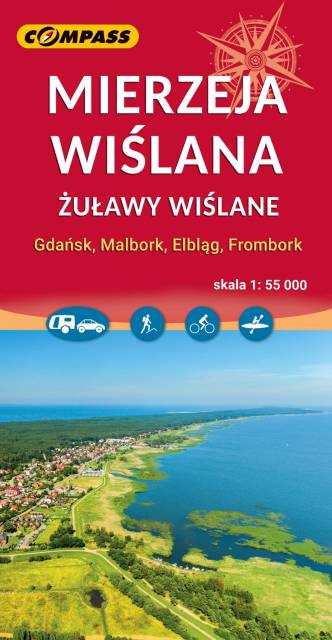
Mapa Wydawnictwa Compass "Mierzeja Wiślana i Żuławy Wiślane" poza wymienionymi w tytule Mierzeją i Żuławami Wiślanymi obejmuje swoim zasięgiem także, Wysoczyznę Elbląską oraz część Pojezierza Kaszubskiego, Wybrzeże Staropruskie, Pojezierze Starogardzkie i Dzierzgońsko-Morąskie. Mapa uwzględnia sieć szlaków turystycznych, rowerowych, a także szlaki żeglowne, porty i przystanie oraz Przekop Mierzei Wiślanej. Rok Wydania 2023