category-icon

Wrocław - Opole

81 km
28 m
0 m
Opole
no photo

Charakterystyka trasy

2019-01-01
Opole
category-icon
Długość trasy:
81 km
Suma przewyższeń:
28 m
Suma spadków:
0 m
Ocena trasy:
1.0/6

Komentarze

NA TYCH TRASACH PRZYDA CI SIĘ MAPOPRZEWODNIK LUB MAPA Z NASZEJ APLIKACJI
Opole
MAPA TURYSTYCZNA W APLIKACJI TRASEO
Opole

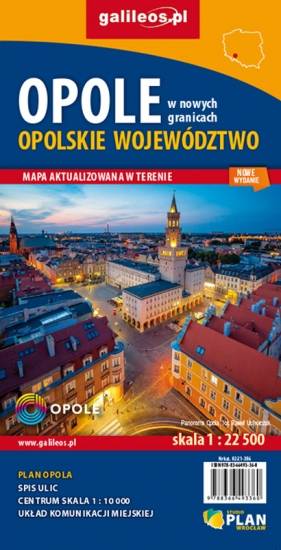
Plan miasta Opola w nowych granicach administracyjnych. Na planie umieszczono całą infrastrukturę miejską (urzędy, szkoły, teatry, kina) i turystyczną (szlaki, zabytki). Rok wydania: 2020

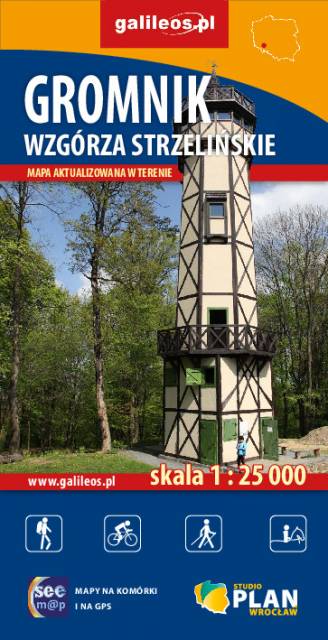
Gromnik i Wzgórza Strzelińskie
MAPA TURYSTYCZNA W APLIKACJI TRASEO
Gromnik i Wzgórza Strzelińskie

Szczegółowa mapa turystyczna z uwzględnieniem atrakcji, zabytków, noclegów, gastronomii oraz innych miejsc przydatnych turyście. Zawiera nazwy ulic w miejscowościach oraz szlaki turystyczne wraz z kilometrażem.

Rok wydania: 2018

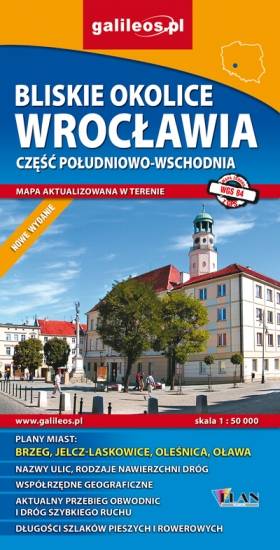
Wrocław and Its Close Vicinity. South-Eastern Part
MAPA TURYSTYCZNA W APLIKACJI TRASEO
Wrocław and Its Close Vicinity. South-Eastern Part

Map in detailed scale range: Wrocław city center to the west, Brzeg to the east, Wiązów to the south, Oleśnica to the north. A lot of information useful for tourists is marked on the map: monuments, accomodation facilities, protected areas, cycling and walking trails, as well as street names and the type of road surface.

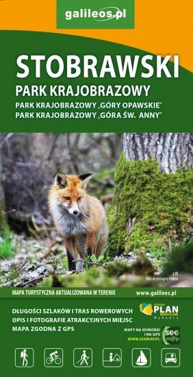
Stobrawa Landscape Park
MAPA TURYSTYCZNA W APLIKACJI TRASEO
Stobrawa Landscape Park

The Stobrawa Landscape Park is a protected area in south-western Poland, in te Opole Voivodeship. Map range: Turawa lake to the south-east, Wołczyn to the north, Brzeg to the east. A lot of information useful for tourists is marked on the map, e.g. monuments, wayside shrines, natural monuments and protected areas.

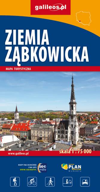
Ziemia Ząbkowicka
MAPA TURYSTYCZNA W APLIKACJI TRASEO
Ziemia Ząbkowicka

The map covers: from Kłodzko to Nysa, north to Strzelin and Dzierżoniów. It contains crucial information for any tourist, including the location of monuments, accommodation facilities, all hiking trails, educational paths, bicycle routes, and the recently fashionable Singletracks. Their lengths are given for easy reading. The map is described on a WGS 84 grid, compatible with Polish navigation systems.

Niemodlin Woods
MAPA TURYSTYCZNA W APLIKACJI TRASEO
Niemodlin Woods
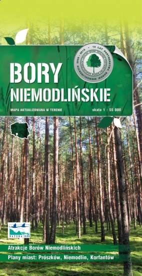
Niemodlin Woods are situated in the Opole Voivodeship, in southwestern Poland, on the Silesian Lowland. Map covers: Opole, Krapkowice, Głogówek, Korfantów, Lewin Brzeski, Popielów. A lot of information useful for tourists is marked on the map, e.g. monuments, wayside shrines, natural monuments and protected areas.

Miejscowości na trasie