The Western Lakes Trail in the region of Western Pomerania crosses as many as five lake districts. This region, although relatively less frequently visited by tourists, hides unique beauty, which can be experienced during a cycling trip lasting several days. The 340-km-long Western Lakes Trail is aimed at both advanced and novice cyclists, who can choose the most suitable section of the route.
Surface of the Western Lakes Trail
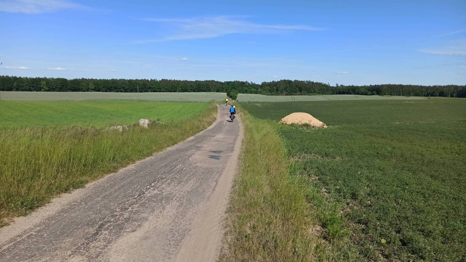
The Western Lakes Trail is relatively easy, largely due to the nature of the terrain and low altitude. It runs mainly on good quality roads, but there are some places where a road bike may not be able to cope.
Due to the length of the route, it is advisable to plan your trip for at least 3 days. The surface of the Western Lakes Trail is an important part of the route. Tarmac makes up 78% of the route, allowing cyclists to enjoy a smooth ride on paved roads. The route is not entirely homogeneous, 12% is gravel, 1% is sand and 9% is cobblestone, quite often criticised by cyclists due to unpleasant vibrations.
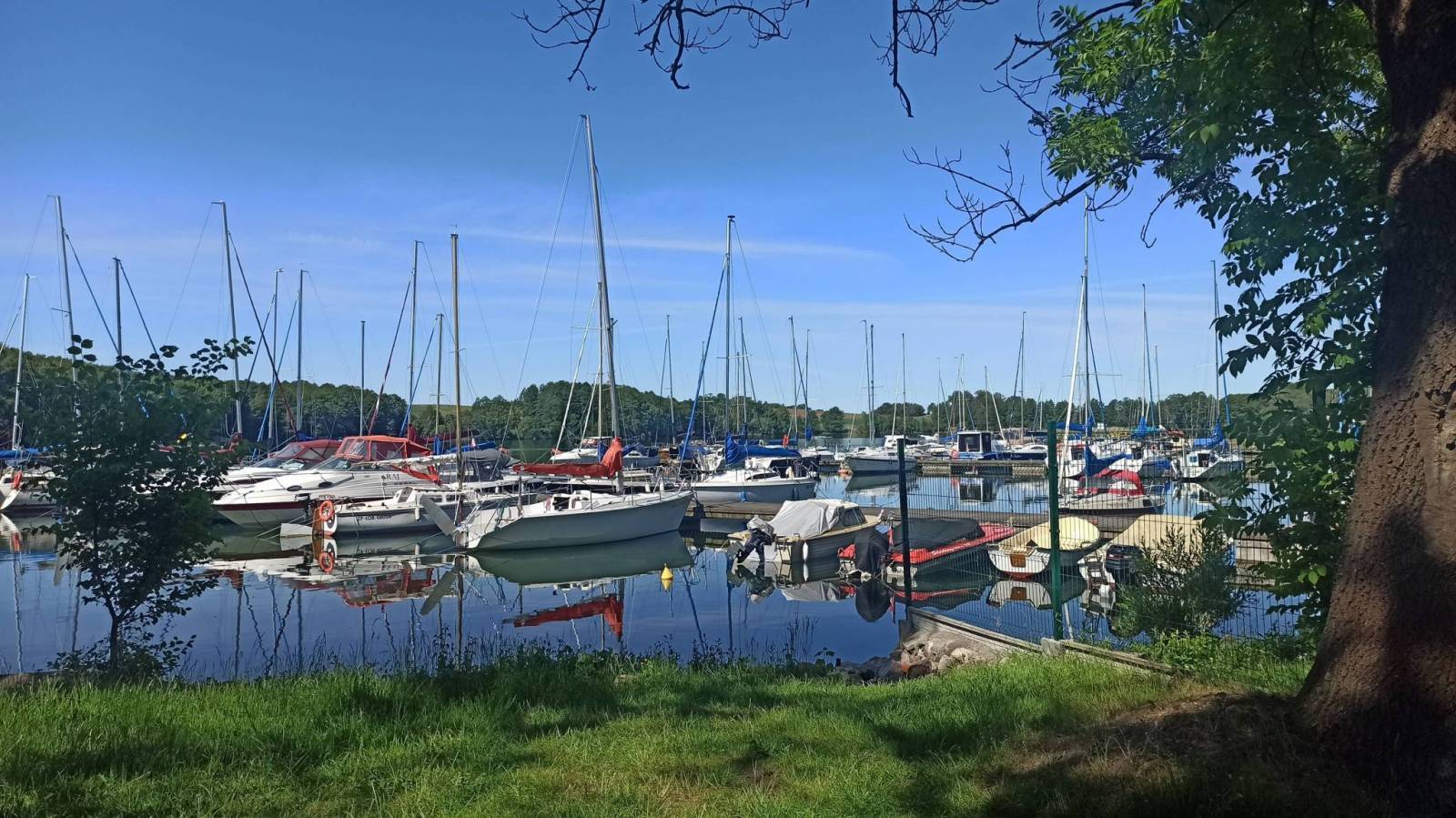
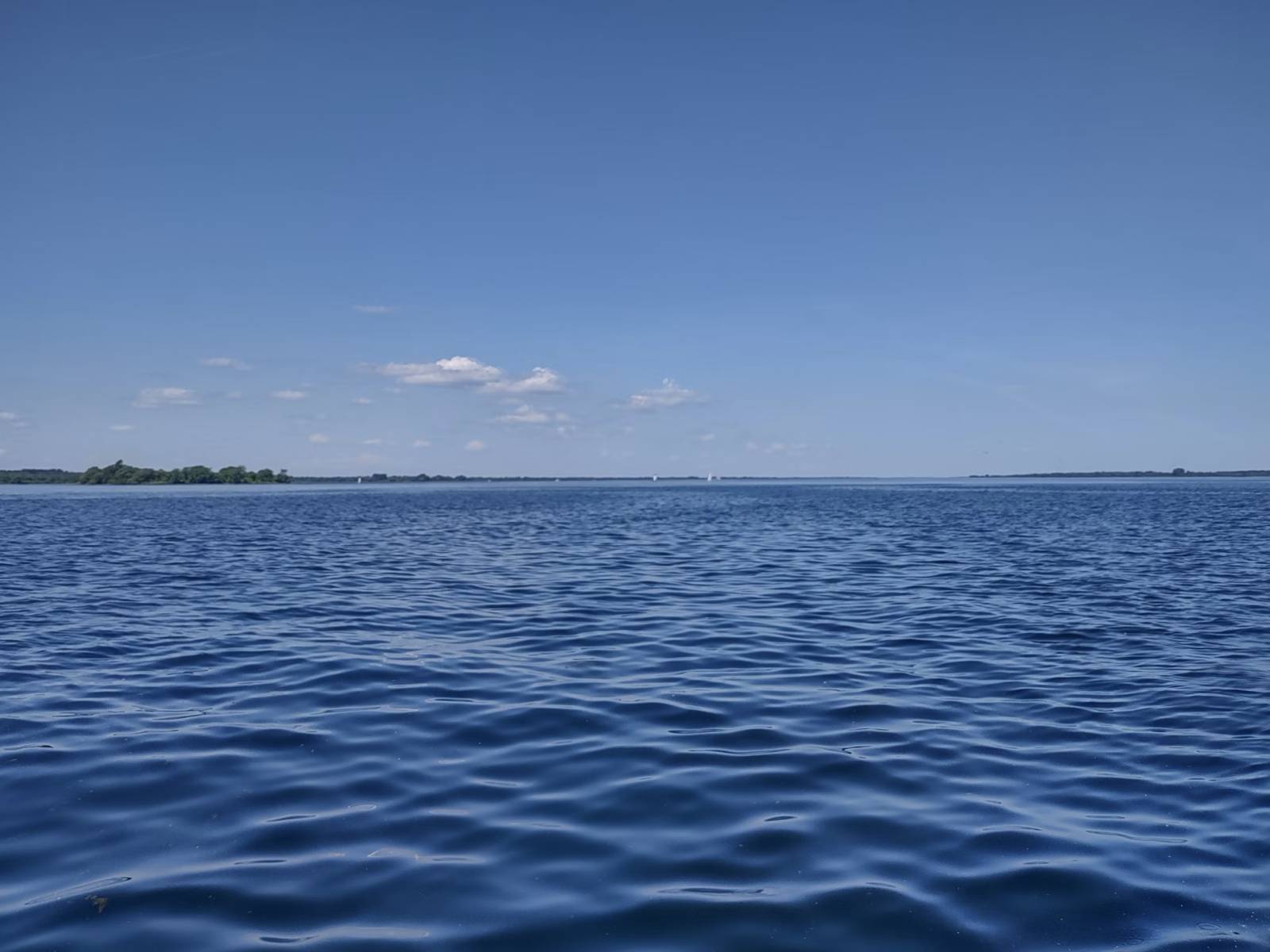
This route is not dedicated to families with children, although it can be an interesting challenge in parts. The 340 km distance is nothing short of an intense ride through the Western Lake District, full of picturesque lakes, clean beaches and quiet towns. The cycling trip starts in the village of Siekierki, on a bridge near the Polish-German border, which gives the route additional historical charm. The old railway bridge, which has been converted into a cycle trail, offers a viewpoint over the Oder River and the remarkable Kostrzynskie floodplains.
Western Lakes Trail - Tour stages
The 340 kilometres of the Western Lakeside Cycle Route can be divided into several stages, which often include overnight stops. They can equally well be stand-alone tours on shorter and less demanding sections. Stage proposals for the Western Lakes Trail have been proposed by the trail organisers and are as follows:
Stage I: Siekierki - Myślibórz
The cycling trip starts in the village of Siekierki, at the German-Polish bridge, which is the ‘kilometre zero’ of the Western Lakes Trail. This historic bridge, formerly a railway bridge, has been transformed into a scenic cycle path, offering views of the Oder River and the remarkable Kostrzynskie floodplains. Crossing the bridge is not only a journey into the past, but also a chance to admire landscapes that will delight any nature lover.
The route leads mainly along asphalt cycle paths, which were built on former railway tracks, taking cyclists through the Myśliborskie and Choszczno Lake District. During the journey, you will encounter five landscape parks, and the ‘Szczecin’ branch of the trail crosses the picturesque Bukowa Forest. For those looking for safe and well-marked sections, the section from Siekierek to Insko is particularly recommended. However, more experienced cyclists should take on the challenge of the whole route.
Stage II: Myslibórz - Borne Sulinowo
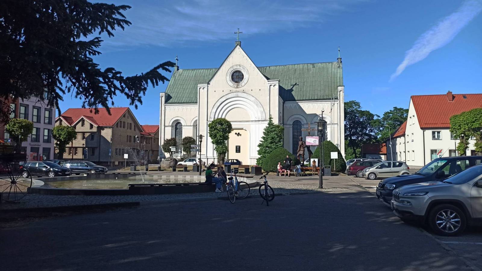
The next stage of the route, running from Myślibórz through Barlinek to Choszczno, delights not only with landscapes, but also with monuments and picturesque towns. The Siekierki - Trzcińsko-Zdrój section of the Western Lakes Trail runs almost entirely along an old railway embankment. It is an easy terrain, perfect for every cyclist. A bigger challenge awaits those who take the route via Barlinek to Choszczno. Asphalt cycle paths built on the former railway track provide comfort, but also offer views of historic railway stations, as well as the natural monument in Brwice - Mammoth Mountain, which is the largest specimen of this tree in Poland.
Stage III: Choszczno - Biały Bór
The final stage of the Western Lakes Trail runs from Choszczno via Ińsko to Drawsko Pomorskie. Although not all sections are yet completed, it is already possible to enjoy the charms of the area. The sections Choszczno - Kozy k. Dobrzan and Ińsko - Wiewiecko have been signposted and are accessible to cyclists. The section Wiewiecko - Drawsko is under construction, but it is worth using alternative asphalt routes through the Drawsko military training ground, heading for the villages of Studnica, Ziemsko and Oleszno. The route ends in Drawsko Pomorskie, offering beautiful lakes and a historic castle.
Western Lakes Trail - extension
At 340 km in length, the Western Lakes Trail is not yet fully completed. Further construction stages are underway and the target length of the route is an impressive 420 km, creating a coherent network of cycle routes in Western Pomerania. Plans include the construction of sections in the vicinity of Szczecinek and Czaplinek, which will make the route even more attractive to cycling adventurers.