
Charakterystyka trasy

Komentarze
NA TYCH TRASACH PRZYDA CI SIĘ MAPOPRZEWODNIK LUB MAPA Z NASZEJ APLIKACJI
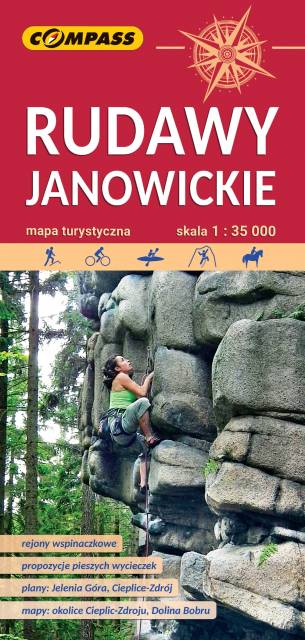
Bardzo dokładna, aktualizowana w terenie mapa turystyczna Rudaw Janowickich z zaznaczonymi szlakami pieszymi i rowerowymi z czasami przejść poszczególnych odcinków. Na mapie zaznaczono skały wspinaczkowe, z których słynie region i najważniejsze atrakcje turystyczne. Rok wydania: 2022
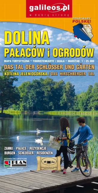
Dolina Pałaców i Ogrodów to bardzo dokładna mapa turystyczna obejmująca swym zasięgiem obszar Kotliny Jeleniogórskiej oraz część Rudaw Janowickich i Gór Kaczawskich. Na mapie oznaczono czasy przejścia na poszczególnych szlakach turystycznych. Rok wydania 2019
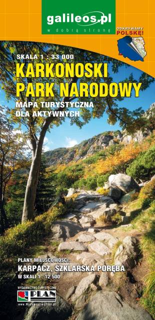
Mapa wydawnictwa Galileos w skali 1:33 000 obejmująca swoim zasięgiem obszar Karkonoskiego Parku Narodowego i okolic, została zaktualizowana w terenie. Karkonoski Park Narodowy to jeden z najbardziej popularnych wśród turystów regionów. Na mapie zaznaczono atrakcje turystyczne i krajoznawcze, a także informacje praktyczne. Oznaczono przebieg szlaków turystycznych: pieszych i rowerowych wraz z czasami przejść. Rok wydania 2020
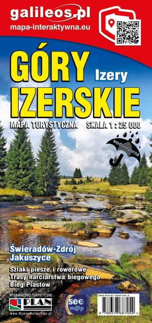
Jedna z najdokładniejszych na rynku map Gór Izerskich. Zawiera najważniejsze grzbiety zarówno po polskiej, jak i czeskiej stronie Gór Izerskich i Jizerskych hor. Mapa została zaktualizowana w terenie i zawiea najważniejsze atrakcje turystyczne i krajoznawcze. Oznaczono na niej szlaki turystyczen: piesze i rowerowe wraz z czasami przejść. Rok wydania 2022