Charakterystyka trasy

Komentarze
NA TEJ TRASIE PRZYDA CI SIĘ MAPA Z NASZEJ APLIKACJI


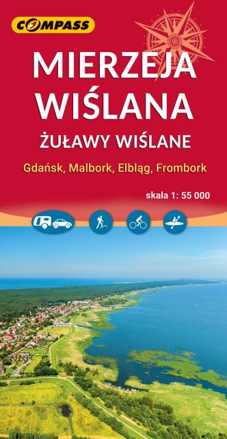
Vistula Spit Landscape Park is a protected area on the Vistula Spit in northern Poland. The Park covers an area of 44.10 square kilometres. It lies within Pomeranian Voivodeship, in Nowy Dwór Gdański County (Krynica Morska, Gmina Sztutowo). Within the Landscape Park are two nature reserves.

The map of Kociewie and Powiśle in the western part covers the area enclosed by Skarszewo in the west, Kwidzyn in the south, Malbork in the east and Tczew in the north. The map provides a detailed depiction of the area, including trails and tourist attractions. On the map of Powiśle and Kociewie you will find, among others, the Powiśle Castle Route, the Grzymisław Route, EuroVelo 9 and the Kopernikowski Route.
Kociewie is an ethnographic and cultural region in Gdańsk Pomerania, located on the left bank of the Vistula River in the Wda and Wierzyca river basins, covering the eastern part of the Tuchola Forest. Approximately Kociewie is located in the area of the present Starogardzki, Tczewski and northern part of Świecki counties, inhabited by approximately 350,000 people. Some of the region's inhabitants speak a Kocievian dialect.
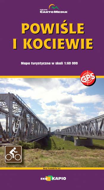
The map of Kociewie and Powiśle in the eastern part covers the area enclosed by Biała Góra in the west, Kwidzyn in the south and Elbląd in the north-east. The map provides a detailed depiction of the area, including trails and tourist attractions. On the map of Powiśle and Kociewie you will find, among others, the Żuławy Trail, the Kopernikowski Trail, and the R1 International Cycling Trail.
Kociewie is an ethnographic and cultural region in Gdańsk Pomerania, located on the left bank of the Vistula River in the Wda and Wierzyca river basins, covering the eastern part of the Tuchola Forest. Approximately Kociewie is located in the area of the present Starogardzki, Tczewski and northern part of Świecki counties, inhabited by approximately 350,000 people. Some of the region's inhabitants speak a Kocievian dialect.