


Jaro88Jaro88
Route characteristics
2015-07-25

Trip length:
49 kmTotal ascent:
2942 mTotal descent:
3000 mAverage time needed to complete the route:
11 h 57 minRoute rating:
1.2/6Comments
ON THESE ROUTES YOU WILL NEED A MAP GUIDE OR A MAP FROM OUR APP
TOURIST MAP IN THE TRASEO APP
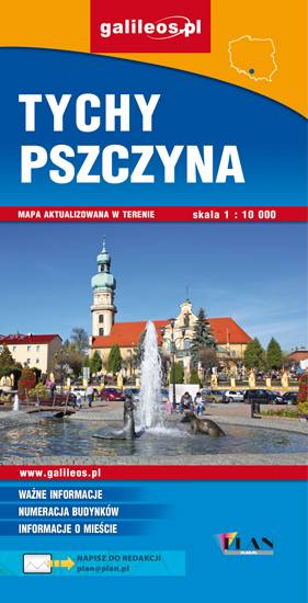
Area of Tychy and Pszczyna
The map range: Oświęcim to the east, Żory to the west, Goczałkowickie Lake to the south. The map presents information useful for tourists, walking and cycling trails, tourist attractions. The most interesting places are highlighted with a yellow frame.
TOURIST MAP IN THE TRASEO APP
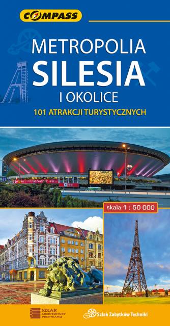
Upper Silesian Metropolitan Area
The map in detailed scale presents part of Upper Silesia - historical and geographical region situated in southern Poland. The Upper Silesian metropolitan area lies within the Upper Silesian Coal Basin. It is characterized by a rich tradition of folklore, many industrial monuments, and some green areas. Cycling, walking and didactic trails are marked on the map, as well as other interesting information, e.g. historical borders of Polnad - from 1914 and 1939. The map range: Tarnowskie Góry to the north, Tychy to the south, Gliwice to the west and Jaworzno to the east.