

Charakterystyka trasy
2016-05-27
Mielec

Długość trasy:
28 kmSuma przewyższeń:
337 mSuma spadków:
340 mOcena trasy:
3.0/6Komentarze
NA TYCH TRASACH PRZYDA CI SIĘ MAPOPRZEWODNIK LUB MAPA Z NASZEJ APLIKACJI
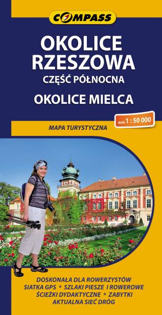
MAPA TURYSTYCZNA W APLIKACJI TRASEO
Rzeszów Region. North Part
The map depicts the central part of the Podkarpackie Voivodeship in Poland, north from Rzeszow. It also covers Mielec area and two popular tourist destinations: Leżajsk and Łańcut. Map range: Szwagrów and Nowa Dęba to the north, Czermin to the west, Dębica and Rzeszów to the south, Białobrzegi and Leżajsk to the east.