TomalaTomala
Route characteristics
2020-09-26
Polska, zachodniopomorskie, powiat kamieński

Trip length:
29 kmTotal ascent:
205 mTotal descent:
214 mAverage time needed to complete the route:
5 h 10 minRoute rating:
1.3/6Comments
ON THESE ROUTES YOU WILL NEED A MAP GUIDE OR A MAP FROM OUR APP
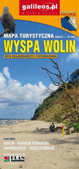
TOURIST MAP IN THE TRASEO APP
Wolin Island
Wolin is a name of the Polish island in the Baltic Sea, just off the Polish coast. Administratively the island belongs to the West Pomeranian Voivodeship in Poland. Most of the island consists of forests and postglacial hills. In the middle is the Wolin National Park. The island is a main tourist attraction of northwestern Poland, and it is crossed by several specially marked tourist trails.