
category-icon

Szlak Kopernikowski czerwony na rower: od Olsztyna do Elbląga

223 km
1023 m
1131 m
Polska, warmińsko-mazurskie, Olsztyn
Zdjęcie 1
Zdjęcie 2
Zdjęcie 3
Zdjęcie 4
Zdjęcie 5
Zdjęcie 6

Charakterystyka trasy

2022-10-16
Polska, warmińsko-mazurskie, Olsztyn
category-icon
Długość trasy:
223 km
Suma przewyższeń:
1023 m
Suma spadków:
1131 m
Ocena trasy:
3.7/6
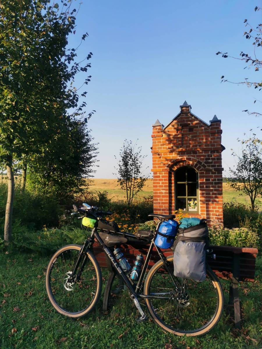
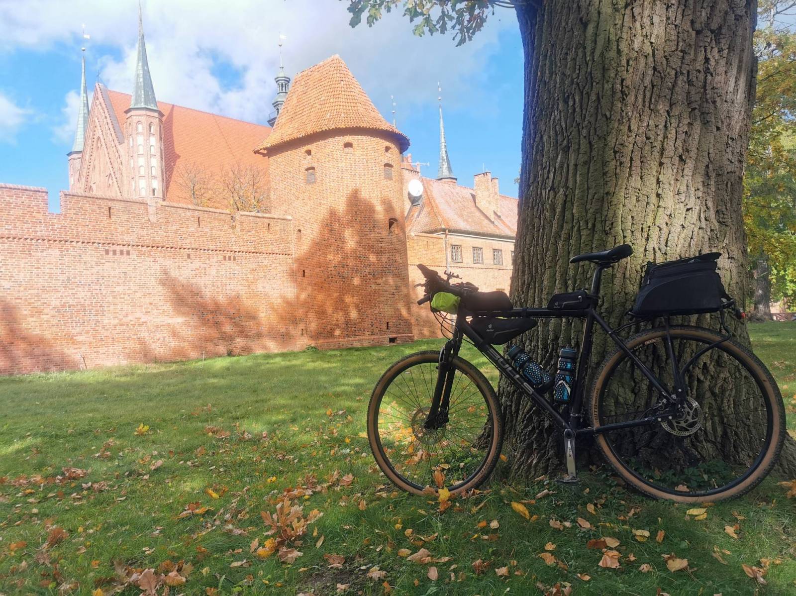
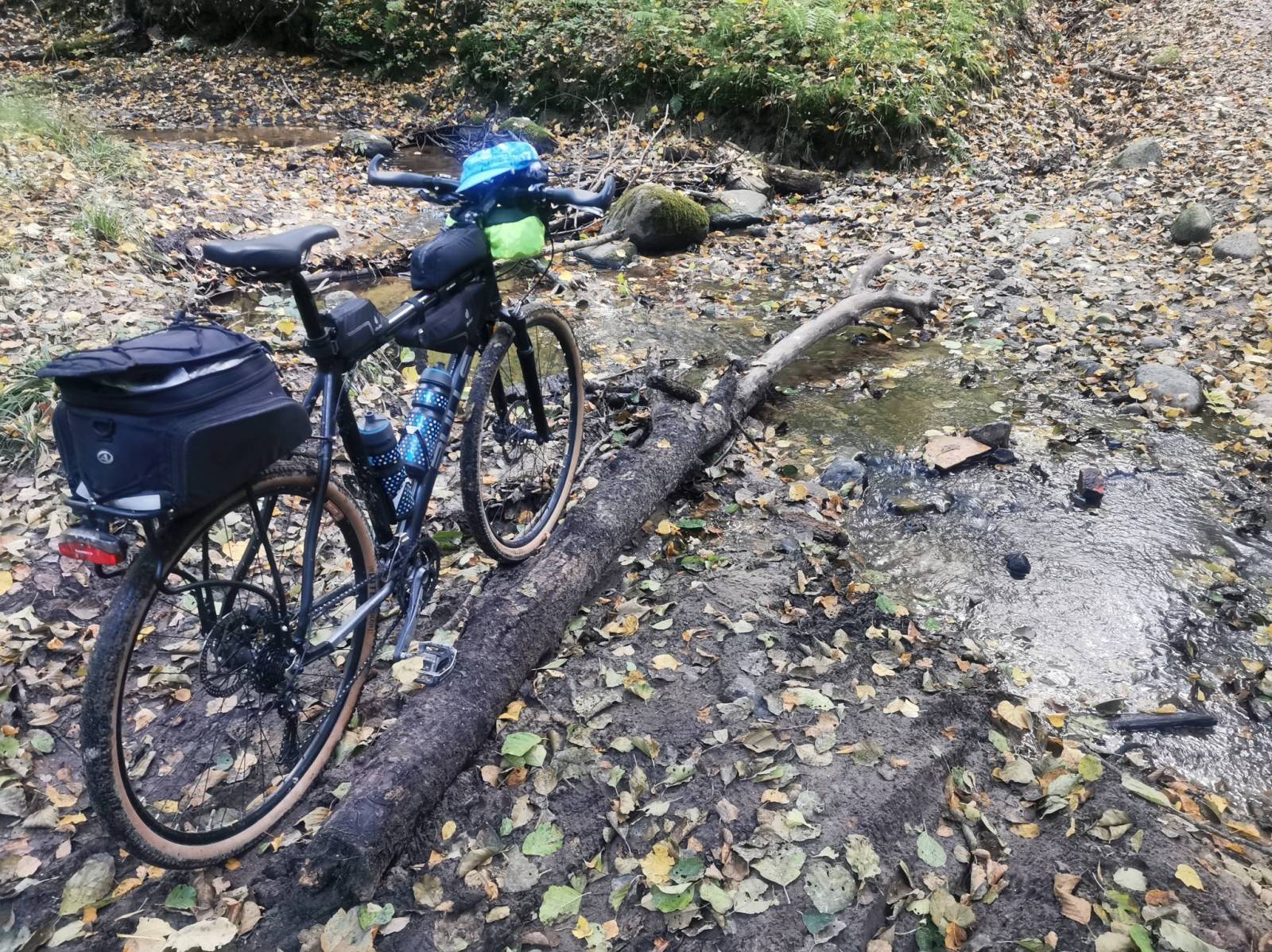
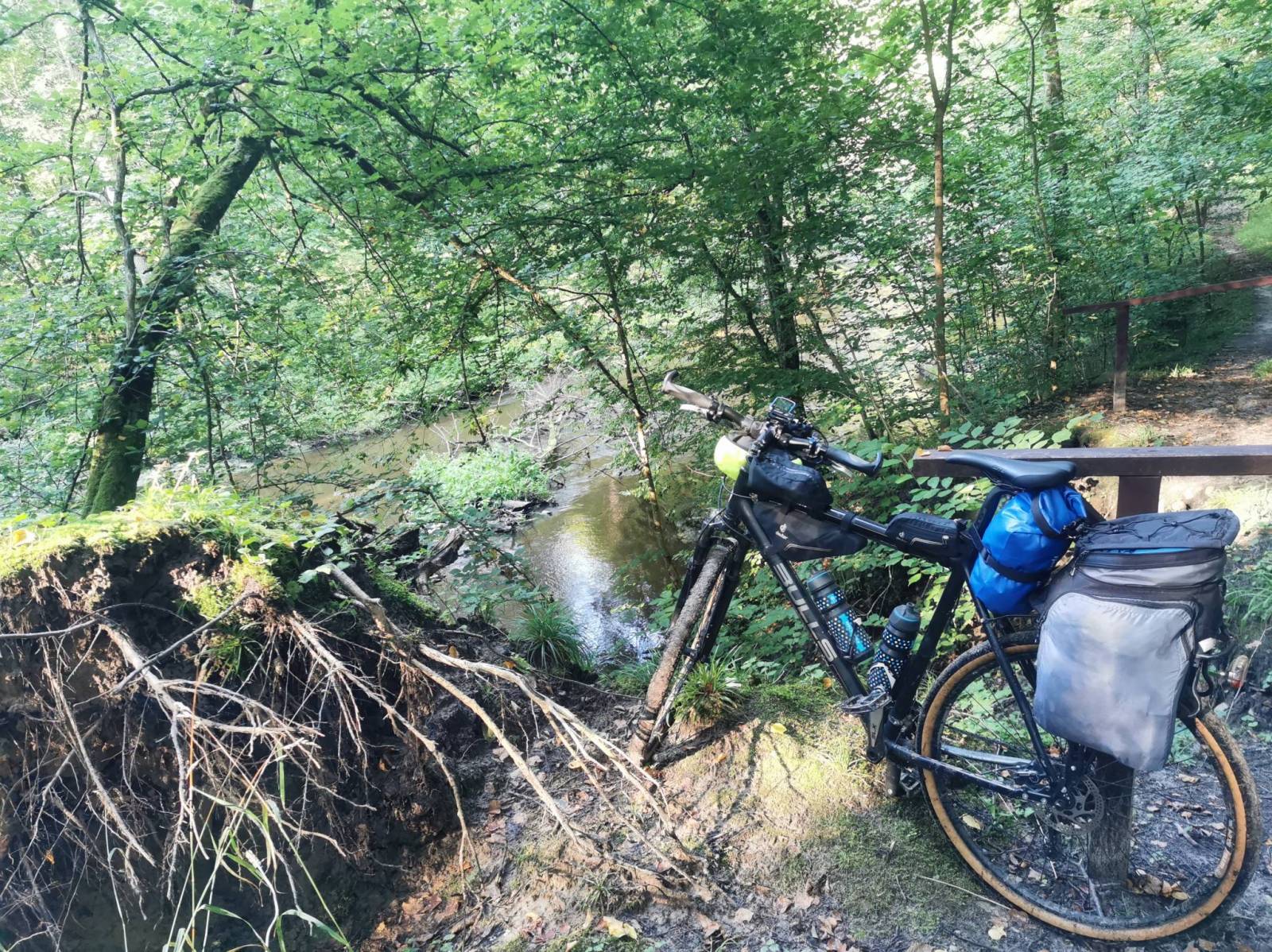
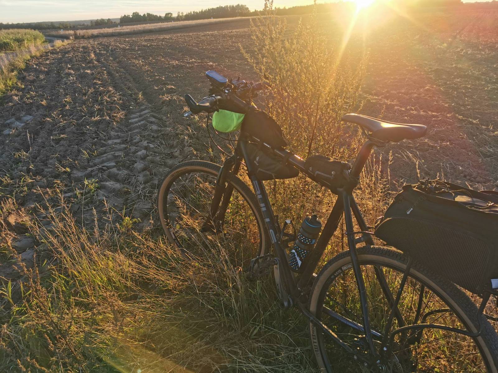
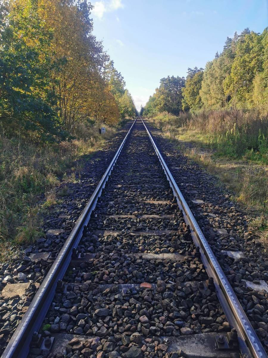
Jak tytuł podaje jest to rowerowa wariacja na temat pieszego szlaku turystycznego Kopernikowskiego. Oryginalnie prowadzi z Olsztyna przez Lidzbark Warmiński, Braniewo, Elbląg, Malbork do Grudziądza. Oznakowany jest kolorem czerwonym. Trasa odnosi się do fragmentu Olsztyn - Elbląg. Jako że niektóre fragmenty szlaku są trudne nawet dla turysty pieszego przebieg został zmodyfikowany tak, żeby nie trzeba było za dużo pchać roweru. W szczególności Wysoczyzna Elbląska jest takim miejscem, gdzie wąskie i strome wąwozy są raczej nieprzejezdne dla roweru przełajowego. Na taki właśnie rower była planowana ta wyprawa, z noclegiem w lesie. Ot, taki bikepacking. Już na trasie okazało się, że do Dobrego Miasta z Olsztyna można dostać się rowerową trasą o nazwie Łynostrada. Biegnie bardzo blisko szlaku czerwonego, ale wydaje się, że ma lepszego szutry. Bo właśnie ilość piasku na Warmii bardzo mnie zaskoczyła. I to nie o piaskownice chodzi, ale ilość piasku na szutrach. Ta piaszczysta dominanta mocno dawała popalić. Owszem, to szlak pieszy i nie oczekiwałem wiele, ale ciężko było. Tak więc Łynostrada może się okazać pewnym wyjściem z piaszczystego problemu. A od Pieniężna do Elbląga można się też dostać Green Velo, który to szlak na Wysoczyźnie Elbląskiej często miał wspólny przebieg ze szlakiem Kopernikowskim.
Muszę się przyznać, że szlak robiłem na dwa razy, bo za pierwszym nie doceniłem przeciwnika. Piach, gorąco i wilgoć pokonały mnie za pierwszym razem, pod koniec sierpnia. Dokrętkę zrobiłem już w październiku, no było chłodniej ????.
Całość trasy przejezdna w sierpniu, październiku 2022 roku.

Komentarze

NA TYCH TRASACH PRZYDA CI SIĘ MAPOPRZEWODNIK LUB MAPA Z NASZEJ APLIKACJI
Vistula Spit Landscape Park
MAPA TURYSTYCZNA W APLIKACJI TRASEO
Vistula Spit Landscape Park

Vistula Spit Landscape Park is a protected area on the Vistula Spit in northern Poland. The Park covers an area of 44.10 square kilometres. It lies within Pomeranian Voivodeship, in Nowy Dwór Gdański County (Krynica Morska, Gmina Sztutowo). Within the Landscape Park are two nature reserves.
Powiśle and Kociewie - eastern part
MAPA TURYSTYCZNA W APLIKACJI TRASEO
Powiśle and Kociewie - eastern part

The map of Kociewie and Powiśle in the eastern part covers the area enclosed by Biała Góra in the west, Kwidzyn in the south and Elbląd in the north-east. The map provides a detailed depiction of the area, including trails and tourist attractions. On the map of Powiśle and Kociewie you will find, among others, the Żuławy Trail, the Kopernikowski Trail, and the R1 International Cycling Trail.

Kociewie is an ethnographic and cultural region in Gdańsk Pomerania, located on the left bank of the Vistula River in the Wda and Wierzyca river basins, covering the eastern part of the Tuchola Forest. Approximately Kociewie is located in the area of the present Starogardzki, Tczewski and northern part of Świecki counties, inhabited by approximately 350,000 people. Some of the region's inhabitants speak a Kocievian dialect.
Iława Lakeland
MAPA TURYSTYCZNA W APLIKACJI TRASEO
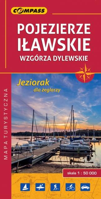
Iława Lakeland
Iława Lakeland (Pojezierze Iławskie) is a tourist region in northern Poland, between two voivodeships: Pomeranian Voivodeship and Warmian-Masurian Voivodeship. It includes Jeziorak Lake and Iławskie Forest spread out on the west side of Jeziorak. The region is covered by a network of walking, cycling and kayaking trails, marked on the map. There is also presented information for sailors on Jeziorak Lake.
Olsztyńskie Lakeland. North Part
MAPA TURYSTYCZNA W APLIKACJI TRASEO
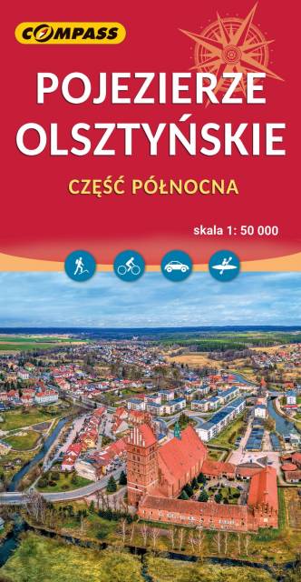
Olsztyńskie Lakeland. North Part

The map depicts northern part of the Olsztyńskie Lakeland in northern Poland, part of the Iławskie Lakeland, the Mrągowskie Lakeland, and the Garb Lubawski. The hilly region full of lakes and forests is perfect for sailors, cyclists and hikers. Medieval Teutonic castles - e.g. in w Olsztyn, Reszel, Dobre Miasto, Morąg - are also great attractions in the area. The map range: Lubomino and Dobre Miasto to the north, Reszel and Sorkwity to the east, Olsztyn to the south and Morąg to the west.
Elbląg Canal
MAPA TURYSTYCZNA W APLIKACJI TRASEO
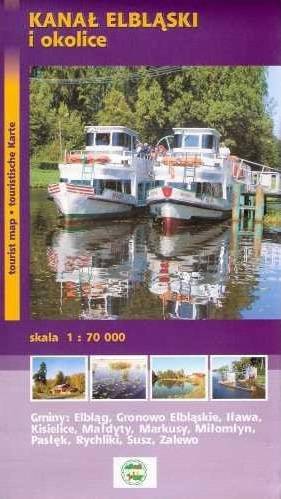
Elbląg Canal

Elbląg Canal is a canal in Poland, in Warmian-Masurian Voivodeship, 80.5 km in length, which runs southward from Lake Drużno (connected by the river Elbląg to the Vistula Lagoon), to the river Drwęca and lake Jeziorak. Today it is used mainly for recreational purposes. It is considered one of the most significant monuments related to the history of technology and was listed by Unesco as a world heritage site. In Poland it has recently been named one of the Seven Wonders of Poland. The canal was also named one of Poland's official national Historic Monuments (Pomnik historii), as designated January 28, 2011. Its listing is maintained by the National Heritage Board of Poland.

Update: 2012
Olsztyńskie Lakeland. South Part
MAPA TURYSTYCZNA W APLIKACJI TRASEO
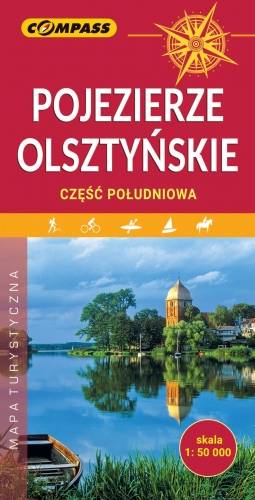
Olsztyńskie Lakeland. South Part

The map depicts southern part of the Olsztyńskie Lakeland in northern Poland, the part of the Iławskie Lakeland, the Mrągowskie Lakeland, and the Garb Lubawski. The hilly region full of lakes and forests is perfect for sailors, cyclists and hikers. Medieval Teutonic castles, Museum of Folk Architecture in Olsztynek, Shrine of Virgin Mary in Gietrzwałd and the Elbląg Canal are also great tourist attractions here.

Miejscowości na trasie