


Charakterystyka trasy

Komentarze
NA TYCH TRASACH PRZYDA CI SIĘ MAPOPRZEWODNIK LUB MAPA Z NASZEJ APLIKACJI
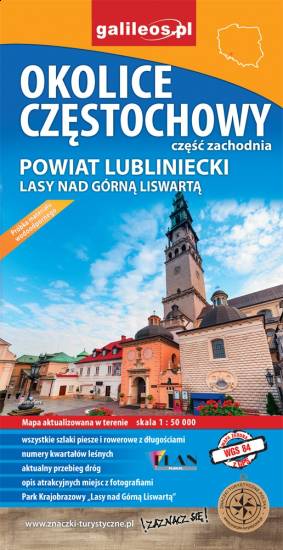
Mapa Częstochowy i okolic obejmuje swym zasięgiem zachodnie okolice Częstochowy, a w nich Park Krajobrazowy Górnej Liswarty, powiat lubliniecki, zawiera sieć dróg z numeracją, granice gmin oraz bogatą treść turystyczną: szlaki piesze i rowerowe, ścieżki przyrodnicze, zabytki, ciekawe miejsca i przyrodniczą - granice rezerwatów, pomniki przyrody. Zawiera nazwy ulic w miejscowościach.
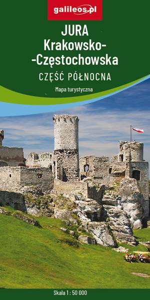
Mapa przedstawia północną część jury Krakowsko-Częstochowskiej - obszar usiany skalnymi ostańcami z wąwozami i płaskowyżami. Są tu też zamki i pałace. Zasięg mapy wyznaczają: Częstochowa Koniecpol, Zawiercie, Miasteczko Śląskie. Gęsta sieć szlaków turystycznych, które umożliwiają dogodne dotarcie do wszystkich najciekawszych zakątków. Wszystkie szlaki (piesze, rowerowe, konne) posiadają między punktami węzłowymi odległości– dzięki temu można zaplanować wycieczkę.
Mapa przygotowana wyłącznie w wersji cyfrowej – brak dostępnej wersji papierowej.

Turistická mapa Euroregionu Praděd zahrnuje území česko-polského příhraničí: na české straně okresy Jeseník a Bruntál, na polské straně Opolské vojvodství. Speciálně zpracovaný kartografický podklad obsahuje nezbytné informace pro aktivní turistiku v přeshraniční oblasti: pěší, jezdecké, cyklistické stezky a další významné objekty infrastruktury cestovního ruchu.
Mapa byla zpracována v rámci projektu „E-bike moderní turistika" spolufinancovaného z prostředků Evropského fondu pro regionální rozvoj a ze státního rozpočtu. „Překračujeme hranice".

Mapa turystyczna Euroregionu Pradziad obejmuje obszar pogranicza polsko-czeskiego: po polskiej stronie województwo opolskie a po czeskiej okresy Jesenik i Bruntal. Specjalnie opracowany podkład kartograficzny zawiera niezbędne informacje do uprawiania aktywnej turystyki w transgranicznym regionie: szlaki piesze, konne, trasy rowerowe oraz inne ważne elementy infrastruktury turystycznej.
Mapa została wykonana w ramach projektu „E-bike nowoczesna turystyka” współfinansowanego ze środków Europejskiego Funduszu Rozwoju Regionalnego oraz ze środków budżetu państwa. „Przekraczamy granice”.