Trasy
Mapy turystyczne
PRO
Trasy
Mapy turystyczne
PRO
Trasy turystyczne
Trasy MTB
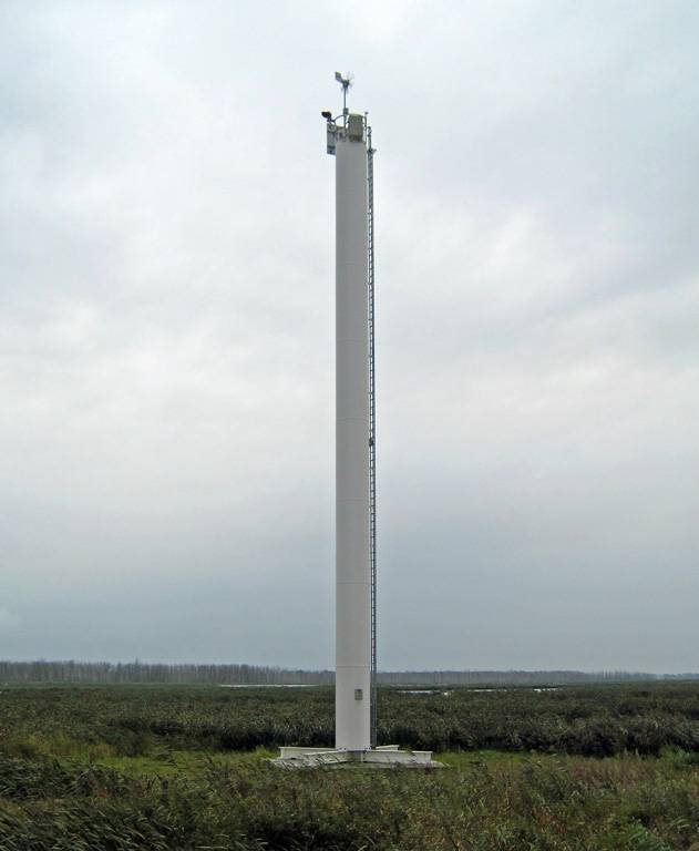
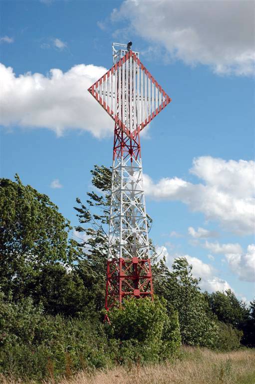
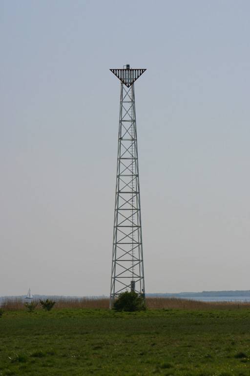
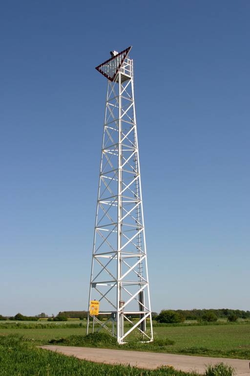
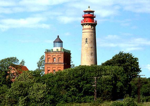
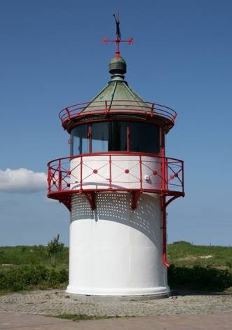
rugia latarnie
rugia latarnie
6 km
0 m
0 m
Wszystkie zdjęcia(48)
Wszystkie zdjęcia(48)
Wszystkie zdjęcia(48)
smashin
smashin
3.1/6
Charakterystyka trasy
2019-08-09
Długość trasy:
6 km
Suma przewyższeń:
0 m
Suma spadków:
0 m
Ocena trasy:
3.1/6
Więcej
Mniej
Komentarze