category-icon

Rowerem przez A2

12 km
1 h 23 min
196 m
186 m
Polska, lubuskie, Rzepin
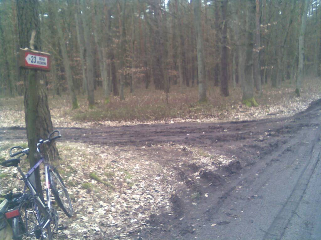
Photo 1
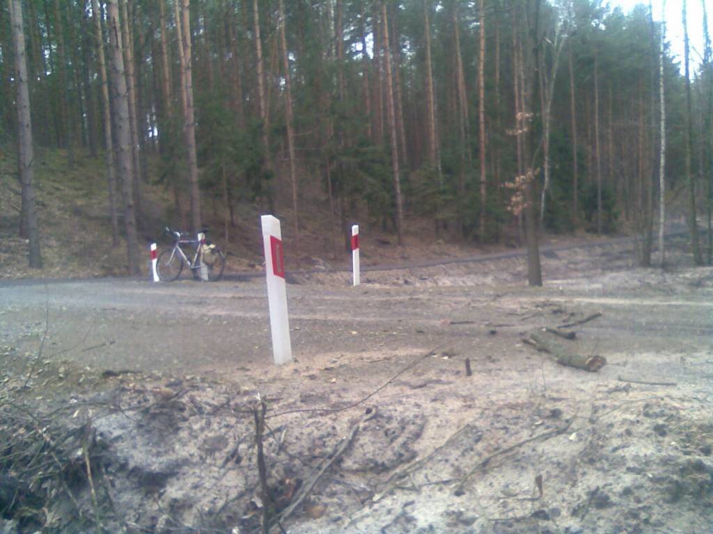
Photo 2

Route characteristics

2012-03-13
Polska, lubuskie, Rzepin
category-icon
Trip length:
12 km
Total ascent:
196 m
Total descent:
186 m
Average time needed to complete the route:
1 h 23 min
Route rating:
2.7/6
Przejście pod ukrytym wiaduktem pod trasą A2. Rozpoznawanie terenu po zmianach wprowadzonych przez budowę A2 w okolicach Rzepina

Comments

ON THESE ROUTES YOU WILL NEED A MAP GUIDE OR A MAP FROM OUR APP

Lubusz Land
TOURIST MAP IN THE TRASEO APP
Lubusz Land

The map covers the Lubusz Voivodeship in western Poland. Monuments, cycling and walking trails and other information useful for tourists are marked on the map. Most interesting places are depicted with coloured graphic symbols.

Towns on the route