category-icon

Racibórz, Lekartów, Wojnowice, Wodzisław

100 km
7 h
603 m
765 m
Rybnik
Zdjęcie 1
Zdjęcie 2
Zdjęcie 3
Zdjęcie 4
Zdjęcie 5
Zdjęcie 6

Charakterystyka trasy

2015-04-10
Rybnik
category-icon
Długość trasy:
100 km
Suma przewyższeń:
603 m
Suma spadków:
765 m
Średni czas potrzebny na pokonanie trasy:
7 h
Ocena trasy:
4.9/6
Dzisiejsza trasa została zaplanowana trochę inaczej niż wyszła z powodu
zamkniętej przeprawy promowej w Grzegorzowicach, bo tam planowałem
się udać droga powrotną, ale nie wyszło, a że posiadam telefon kontaktowy
do Pana Józefa, który jest operatorem tego właśnie promu, powiedział
mi że stan wody jest za wysoki o ze względu bezpieczeństwa jest
nieczynny :(

Od razu po uzyskaniu owej informacji plany moje zweryfikowałem i
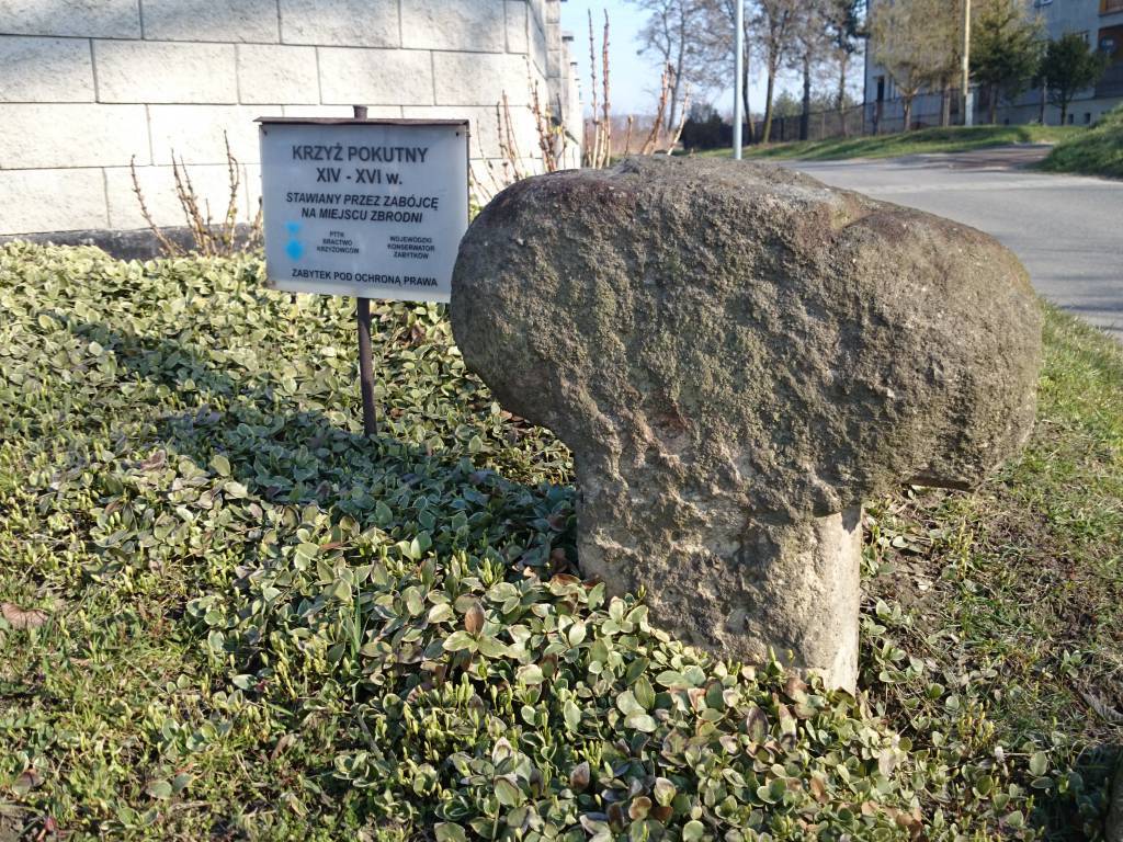
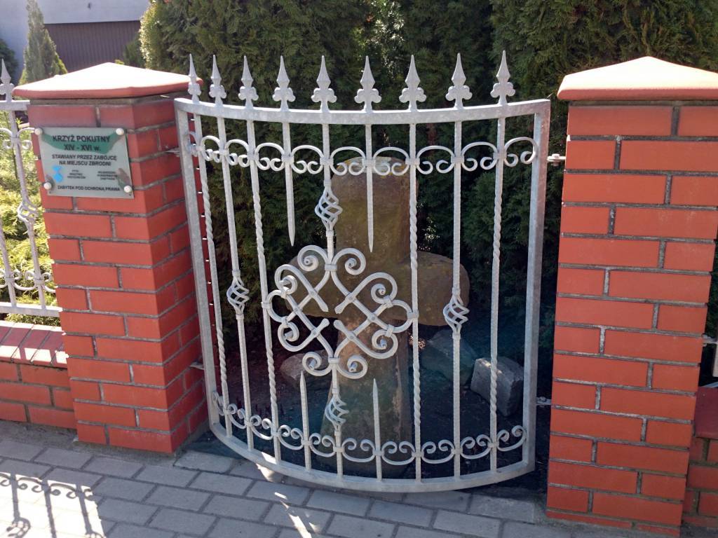
z Raciborza udałem się do Lekartowa na sfotografowanie
Krzyża Pokutnego do kolekcji,
potem dalej do Wojnowic celem zwiedzenia Muzeum Horroru,
ale niestety w tygodniu jest nieczynne, znowu pech, więc żeby się
nie wracać, kierowałem się na granicę polsko-czeską, ale wcześniej
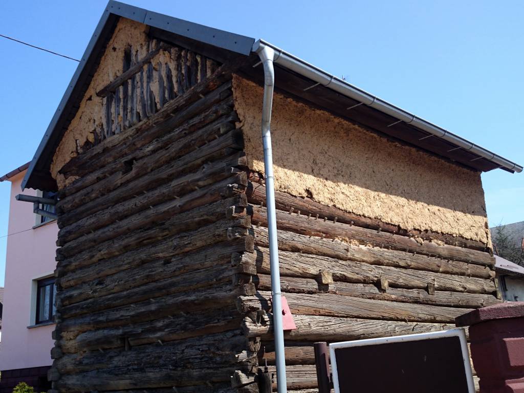
jeszcze po drodze zahaczyłem o Borucin, gdzie znajduj się tam stary
drewniany Spichlerz , dalej już kręciłem na granicę i przez małą część Czech
wjechałem do Owsiszcza, dalej już na Krzyżanowice, Pszów,
Radlin i do domciu ;)

Komentarze

NA TYCH TRASACH PRZYDA CI SIĘ MAPOPRZEWODNIK LUB MAPA Z NASZEJ APLIKACJI
Ostrava Region
MAPA TURYSTYCZNA W APLIKACJI TRASEO
Ostrava Region

The map presents part of north-eastern Czech Republic, near the border with Poland. The capital city of the region -Ostrava - straddles the border of the two historic provinces of Moravia and Silesia.

Published: 2016/2017

Racibórz County
MAPA TURYSTYCZNA W APLIKACJI TRASEO
Racibórz County

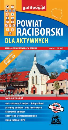
The map presents the Racibórz County in the Upper Silesia region, Poland. It is comprised of five municipalities: Racibórz, Kornowac, Nędza, Kuźnia Raciborska, Rudnik, Pietrowice Wielkie, Krzanowice, Krzyżanowice. The most interesting places are highlighted with a yellow frame. Cycling, walking and didactic trails are marked on the map.
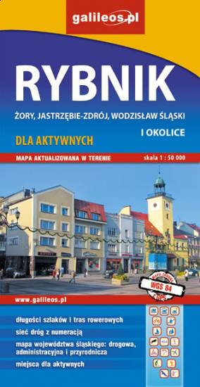
Rybnik Region
MAPA TURYSTYCZNA W APLIKACJI TRASEO
Rybnik Region

The map range: Żory in Poland to the east, Karviná in Czech Republic to the south, Wodzisław Śląski (Poland) and Ostrava suburbs (Czech Republic) to the west, and Gliwice suburbs (Poland) to the north. Tourist attractions, cycling and walking trails, boundaries of protected areas, as well as accomodation facilities are marked on the map.
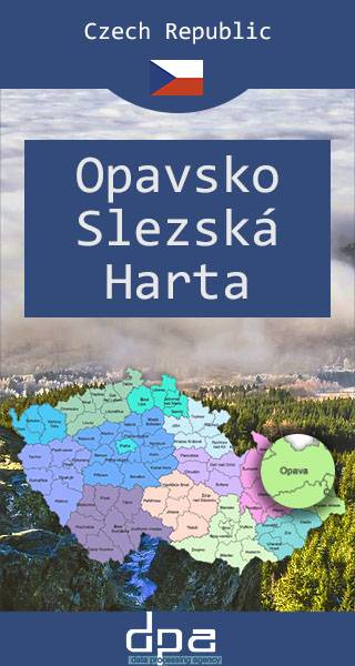
Opava Region and Slezská Harta Dam
MAPA TURYSTYCZNA W APLIKACJI TRASEO
Opava Region and Slezská Harta Dam

The map presents the region in north-eastern Czech Republic, near the border with Poland.

Euroregion Pradziad
MAPA TURYSTYCZNA W APLIKACJI TRASEO
Euroregion Pradziad

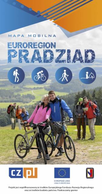
The tourist map of the Pradziad Euroregion covers the area of the Polish-Czech border region: the Opolskie voivodeship on the Polish side and the Jeseník and Bruntál regions on the Czech side. A specially developed cartographic base contains necessary information for active tourism in the cross-border region: hiking trails, horse riding trails, cycle routes and others.

The map was produced under the project "E-bike modern tourism" co-financed by the European Regional Development Fund and the state budget. "We cross borders".
 

Euroregion Praděd
MAPA TURYSTYCZNA W APLIKACJI TRASEO
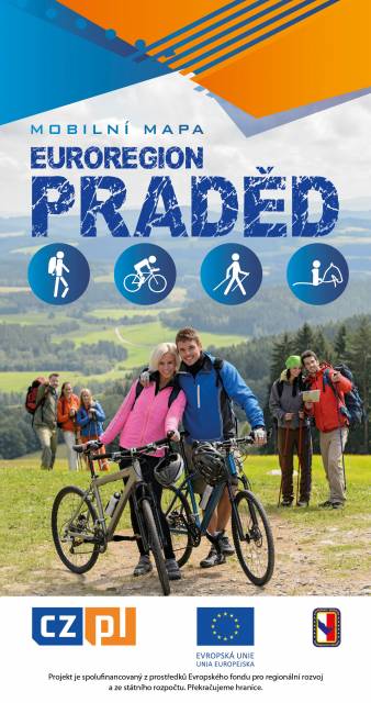
Euroregion Praděd

Turistická mapa Euroregionu Praděd zahrnuje území česko-polského příhraničí: na české straně okresy Jeseník a Bruntál, na polské straně Opolské vojvodství. Speciálně zpracovaný kartografický podklad obsahuje nezbytné informace pro aktivní turistiku v přeshraniční oblasti: pěší, jezdecké, cyklistické stezky a další významné objekty infrastruktury cestovního ruchu. 

Mapa byla zpracována v rámci projektu „E-bike moderní turistika" spolufinancovaného z prostředků Evropského fondu pro regionální rozvoj a ze státního rozpočtu. „Překračujeme hranice"

Miejscowości na trasie