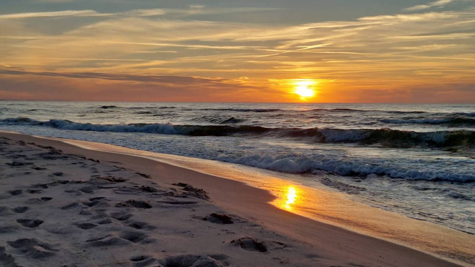
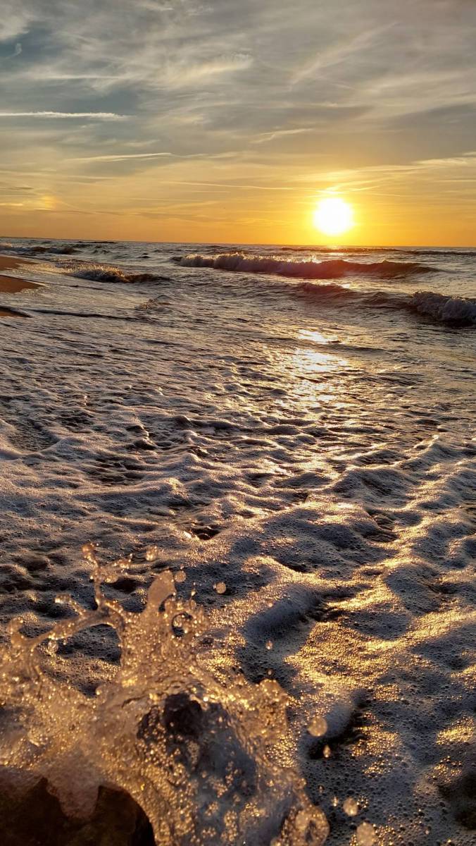
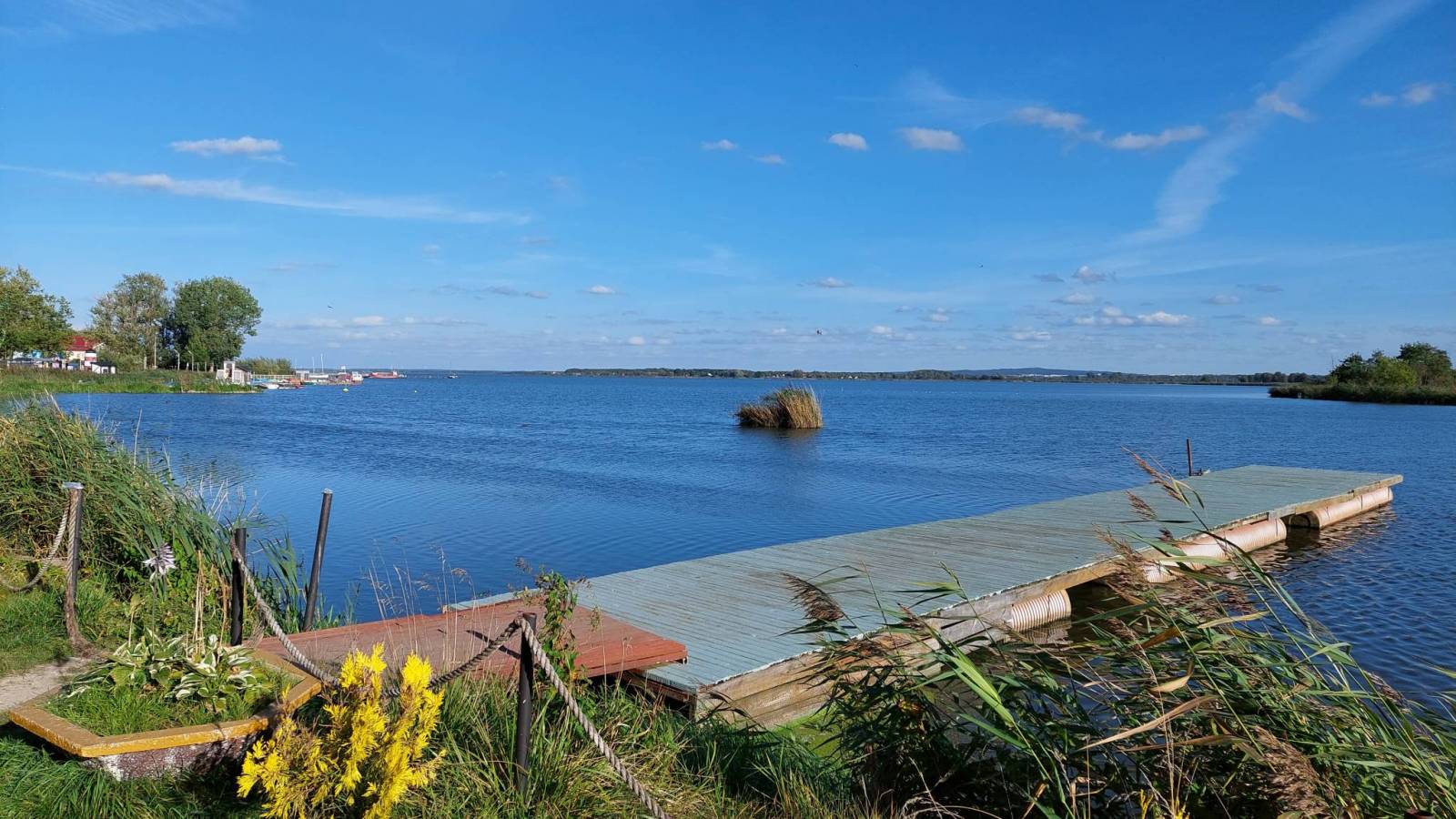
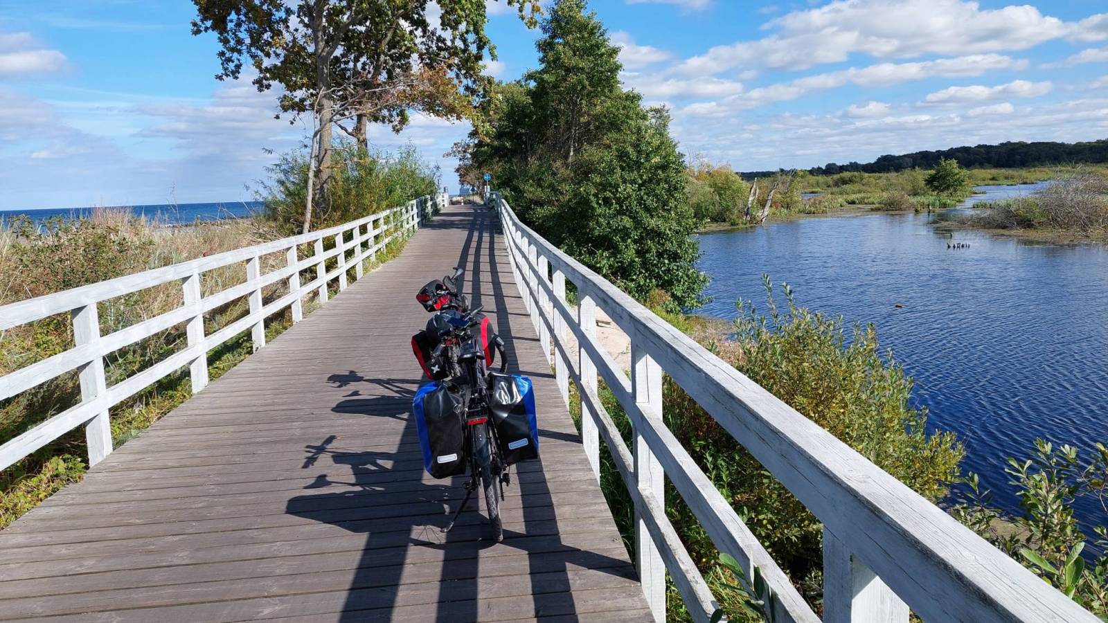
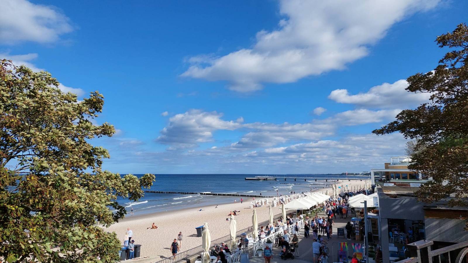
Drugiego dnia ruszmy przez nadmorskie kurorty, na szczęście przed południem zawsze jeszcze puste. Zwiedzamy ruiny kościoła w Trzęsaczu który przez kolejne lata zabierało morze i odwiedzamy latarnię w Niechorzu. Przez kolejne miejscowości docieramy do Kołobrzegu gdzie oglądamy piękny ratusz na rynku, latarnie i molo. Dalej pięknymi trasami dojeżdżamy na nocleg do Łaz.
Komentarze
NA TYCH TRASACH PRZYDA CI
SIĘ MAPOPRZEWODNIK LUB MAPA Z NASZEJ APLIKACJI
MAPA TURYSTYCZNA W APLIKACJI TRASEO
Wyspa Wolin
Mapa Wyspy Wolin zawiera szlaki turystyczne piesze i rowerowe oraz najważniejsze atrakcje turystyczne. Mapy swoim zasięgiem obejmuje fragment wybrzeża w części niemieckiej, od wschodu zamknięta jest przez Dziwnów.
MAPA TURYSTYCZNA W APLIKACJI TRASEO
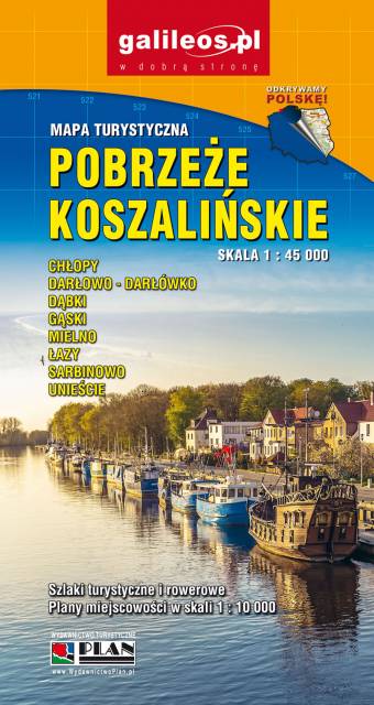
Pobrzeże Koszalińskie
Turystyczna mapa Pobrzeża Koszalińskiego z aktualnym przebiegiem szlaków turystycznych. Mapa obejmuje obszar od Gąsek do Darłowa. Rok wydania 2021
MAPA TURYSTYCZNA W APLIKACJI TRASEO
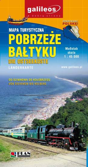
Pobrzeże Bałtyku
Mapa swoim zasięgiem obejmuje część wybrzeża Bałtyku od Kamienia Pomorskiego do Kołobrzegu, zawiera także fragment Zalewu Kamieńskiego. Przedstawione zostały na niej atrakcje turystyczne regionu oraz szlaki turystyczne piesze i rowerowe.