


Charakterystyka trasy

Komentarze
NA TYCH TRASACH PRZYDA CI SIĘ MAPOPRZEWODNIK LUB MAPA Z NASZEJ APLIKACJI
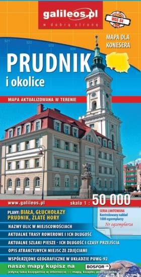
Mapa Prudnika i okolic obejmuje obszar od Nysy i Krapkowic do Głuchołaz i Města Albrechtickiego. Naniesiono wszystkie trasy rowerowe, szlaki piesze i konne. Podano ich długość a przy szlakach pieszych również czasy przejść. We wszystkich miejscowościach podano nazwy ulic. Na mapie użyta jest siatka geograficzna, opisana co 1 minutę (szerokość geograficzna) i 2 minuty (długość geograficzna). W formie drukowanej mapa wydana została w nakładzie 1000 egzemplarzy jako limitowana seria.
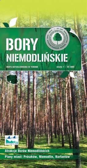
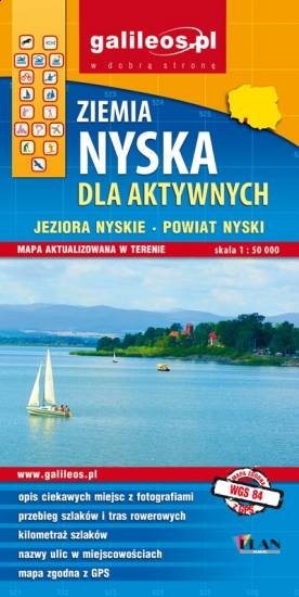
Mapa Ziemi Nyskiej obejmuje miasto Nysa wraz z sąsiednimi gminami. Szczególnie atrakcyjne miejsca zaznaczono żółtą ramką. Podano aktualne przebiegi szlaków pieszych, rowerowych i kajakowych, łącznie z kilometrażem, co pozwala łatwiej zaplanować wycieczkę. Na mapie zaznaczono przebieg Szlaku Czarownic oraz Szlaku św. Jakuba.
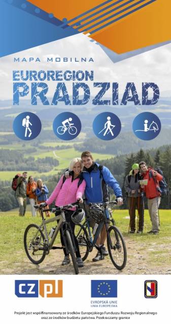
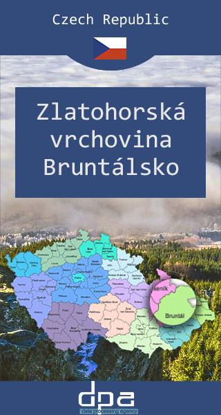
Mapa turystyczna Euroregionu Pradziad obejmuje obszar pogranicza polsko-czeskiego: po polskiej stronie województwo opolskie a po czeskiej okresy Jesenik i Bruntal. Specjalnie opracowany podkład kartograficzny zawiera niezbędne informacje do uprawiania aktywnej turystyki w transgranicznym regionie: szlaki piesze, konne, trasy rowerowe oraz inne ważne elementy infrastruktury turystycznej.
Mapa została wykonana w ramach projektu „E-bike nowoczesna turystyka” współfinansowanego ze środków Europejskiego Funduszu Rozwoju Regionalnego oraz ze środków budżetu państwa. „Przekraczamy granice”.
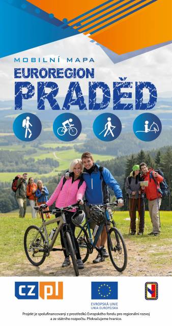
Turistická mapa Euroregionu Praděd zahrnuje území česko-polského příhraničí: na české straně okresy Jeseník a Bruntál, na polské straně Opolské vojvodství. Speciálně zpracovaný kartografický podklad obsahuje nezbytné informace pro aktivní turistiku v přeshraniční oblasti: pěší, jezdecké, cyklistické stezky a další významné objekty infrastruktury cestovního ruchu.
Mapa byla zpracována v rámci projektu „E-bike moderní turistika" spolufinancovaného z prostředků Evropského fondu pro regionální rozvoj a ze státního rozpočtu. „Překračujeme hranice".