

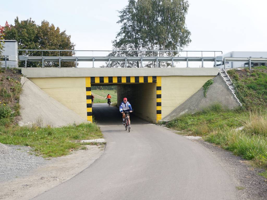

lemur36lemur36
Charakterystyka trasy
2015-10-06
Czechowice-Dziedzice

Długość trasy:
33 kmSuma przewyższeń:
210 mSuma spadków:
205 mŚredni czas potrzebny na pokonanie trasy:
3 h 3 minOcena trasy:
3.7/6Komentarze
NA TYCH TRASACH PRZYDA CI SIĘ MAPOPRZEWODNIK LUB MAPA Z NASZEJ APLIKACJI
MAPA TURYSTYCZNA W APLIKACJI TRASEO
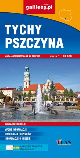
Area of Tychy and Pszczyna
The map range: Oświęcim to the east, Żory to the west, Goczałkowickie Lake to the south. The map presents information useful for tourists, walking and cycling trails, tourist attractions. The most interesting places are highlighted with a yellow frame.
MAPA TURYSTYCZNA W APLIKACJI TRASEO
Silesian Beskids, Żywiec Beskids, Small Beskids
The map depicts part of the Polish Carpathian Mountains in Silesia region: Beskid Śląski (Silesian Beskids), Beskid Żywiecki (Żywiec Beskids) and Beskid Mały (Small Beskids). The Polish part of the range includes protected areas, such as Silesian Beskids Landscape Park. Hiking tracks and tourist attractions are marked on the map.
Update: 2014