

Charakterystyka trasy

Komentarze
NA TYCH TRASACH PRZYDA CI SIĘ MAPOPRZEWODNIK LUB MAPA Z NASZEJ APLIKACJI
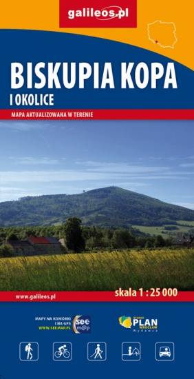
Mapa Biskupiej Kopy i obszaru całych Gór Opawskich, zarówno po stronie polskiej jak i czeskiej. Na mapie jest Góra parkowa, Biskupia Kopa, Góra Poprzeczna oraz obszar wokół Dzikowca. Mapa posiada aktualny przebieg tras turystycznych pieszych z długościami i czasami przejść. Naniesiono tu również ścieżki rowerowe i ścieżki przyrodnicze.
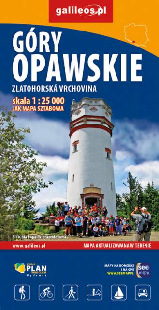
Mapa obejmuje obszar Gór Opawskich zarówno po stronie polskiej jak i czeskiej. Na mapie zaznaczono takie szczyty jak: Góra parkowa, Biskupia Kopa, Góra poprzeczna oraz obszar wokół Dzikowca. Zawiera aktualny przebieg tras turystycznych pieszych z długościami i czasami przejść oraz tras rowerowych i ścieżki przyrodnicze. Zaznaczono powstałe w ostatnich latach wiatrołomy. Miejsca atrakcyjne oznaczono kolorem żółtym. Rok wydania: 2022
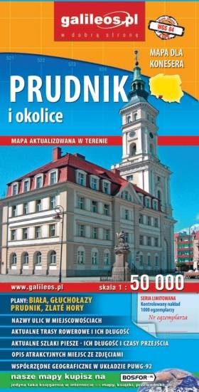
Mapa Prudnika i okolic obejmuje obszar od Nysy i Krapkowic do Głuchołaz i Města Albrechtickiego. Naniesiono wszystkie trasy rowerowe, szlaki piesze i konne. Podano ich długość a przy szlakach pieszych również czasy przejść. We wszystkich miejscowościach podano nazwy ulic. Na mapie użyta jest siatka geograficzna, opisana co 1 minutę (szerokość geograficzna) i 2 minuty (długość geograficzna). W formie drukowanej mapa wydana została w nakładzie 1000 egzemplarzy jako limitowana seria.
Mapa przedstawia dwa niewielkie pod względem wysokości pasma górskie Sudetów rozciągające się na granicy Polski i Czech, na pograniczu Moraw i Śląska. W Jesionikach najbardziej rozpoznawalnym szczytem jest Pradziad (1491 m n.p.m.) znajdujący się w paśmie górskim Wysokiego Jesionika, stanowiący jednocześnie najwyższy szczyt Śląska Czeskiego, Górnego Śląska i Moraw i całych Sudetów Wschodnich. Na jego szczycie ustawiona jest charakterystyczna wieża telewizyjna przypominająca kształtem rakietę kosmiczną. Wierzchołek jest dobrze widoczny z wielu punktów widokowych oraz wyższych miejsc w promieniu nawet kilkuset kilometrów, nie tylko Czech, ale również południowo zachodnich województw: opolskiego czy dolnośląskiego. Góry Złote to jedno z najdłuższym pasm Sudetów, rozciągające się z Przełęczy Kłodzkiej na północnym zachodzie, aż do Przełęczy Ramzovskiej. Tereny Gór Złotych są słabo zaludnione i bardzo atrakcyjne dla turystyki pieszej oraz narciarskiej. Najsłynniejszą atrakcją regionu jest dawna podziemna kopalnia złota i arsenu w Złotym Stoku.