

Charakterystyka trasy

Komentarze
NA TYCH TRASACH PRZYDA CI SIĘ MAPOPRZEWODNIK LUB MAPA Z NASZEJ APLIKACJI
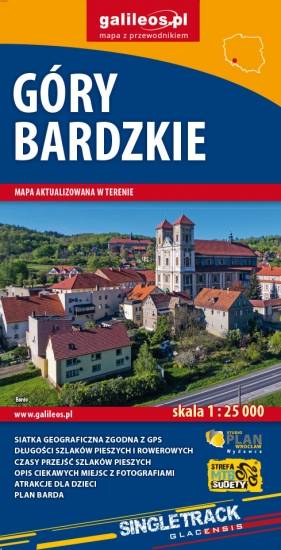
Mapa obejmuje obszar Gór Bardzkich z miastami: Bardo, Kłodzko, Ząbkowice Śląskie oraz Srebrna Góra. Dzięki dokładnej skali 1:25 000 wszystkie szlaki piesze i rowerowe mają podane długości oraz czas przejścia szlaków pieszych. Na mapie znajdują się również informacje praktyczne i turystyczne przydatne turystom: zabytki, noclegi, punkty gastronomiczna, granice obszarów chronionych i rezerwatów. Ciekawe obiekty wyróżniono kolorem żółtym. Mapa przygotowana tylko dla urządzeń cyfrowych – brak dostępnej wersji papierowej.
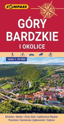
Mapa przedstawia najdalej na wschód wysunięte pasmo górskie w Sudetach Środkowych, a także dodatkowo część Gór Sowich i Gór Złotych. Zasięg mapy wyznaczają: Ząbkowice Śląskie na północy, Ołdrzychowice Kłodzkie i Złoty Stok na południu, Wolibórz na zachodzie i Paczków na wschodzie. Na mapie znalazły się także plany miast: Kłodzko centrum, Bardo, Złoty Stok, Ząbkowice Śląskie, Paczków, Kamieniec Ząbkowicki, Ziębice. Na mapie zastosowano cieniowanie w celu uzyskania wrażenia plastyczności rzeźby terenu. Mapę offline można zakupić w aplikacji Traseo na urządzenia mobilne. Rok wydania 2021
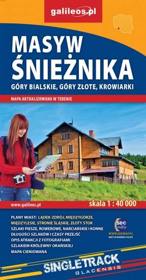
Mapa Masywu Śnieżnika, Gór Złotych i Bialskich oraz Krowiarek, z najwyższym szczytem Ziemi Kłodzkiej - Śnieżnikiem i Ośrodkiem Narciarskim Czarna Góra. Znajdują się tu takie atrakcje jak Wodospad Wilczki i Jaskinia Niedźwiedzia. Na mapie zaznaczono informacje przydatne turyście, jak zabytki, noclegi, granice obszarów chronionych, szczególnie atrakcyjne miejsca zaznaczono żółtą ramką. W miejscowościach opisano nazwy ulic. Podano aktualne przebiegi szlaków pieszych, rowerowych, narciarskich i konnych, łącznie z kilometrażem, co pozwoli łatwiej zaplanować wycieczkę. Przy szlakach pieszych podano także orientacyjny czas przejścia.
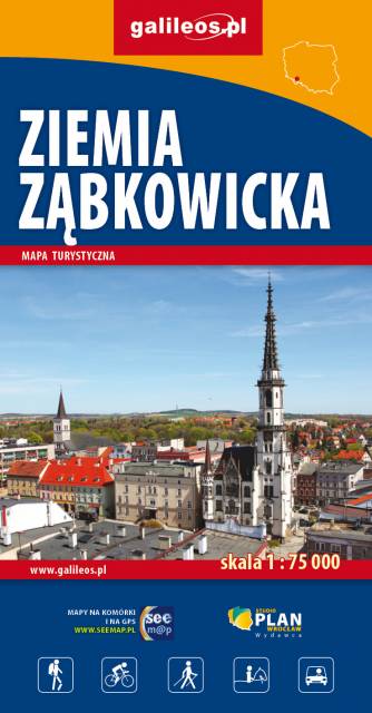
Mapa jest w zasięgu: od Kłodzka do Nysy, na północ do Strzelina i Dzierżoniowa. Opracowanie zawiera informacje niezbędne każdemu turyście m.in. położenie zabytków, bazę noclegową oraz przebieg wszystkich szlaków pieszych, ścieżek dydaktycznych, tras rowerowych oraz modnych ostatnio Singletraków. Dla łatwego czytania podano ich długości. Mapa opisana na siatce WGS 84, zgodna z polskimi systemami nawigacyjnymi.
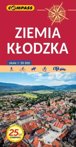
Ziemi Kłodzkiej - historycznej krainy (teren dawnego hrabstwa kłodzkiego) obejmującej Kotlinę Kłodzką i otaczające ją tereny górskie: Góry Stołowe, Góry Sowie, Góry Bardzkie, Góry Złote, Góry Bialskie, Masyw Śnieżnika, Góry Bystrzyckie, Góry Orlickie. Zasięg mapy wyznaczają od wschodu Złoty Stok i Javornik po czeskiej stronie, od zachodu Kudowa-Zdrój, Nachod, Police, Teplice (zatem praktycznie całe Góry Stołowe) po czeskiej stronie. Od północy zasięg wyznaczają: Ząbkowice Śląskie i Srebrna Góra, od południa obrzeża miasta Zamberk po czeskiej stronie. Rok wydania: 2024
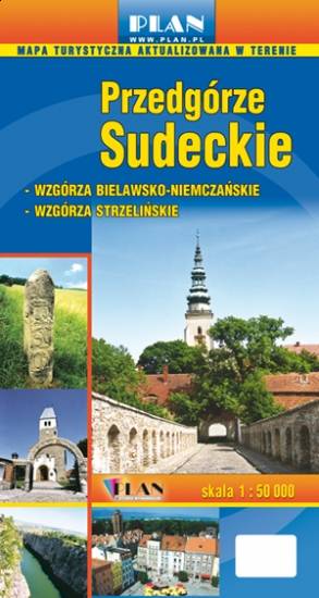
Na mapie Przedgórza Sudeckiego zaznaczono informacje przydatne turyście, jak zabytki, noclegi, granice obszarów chronionych. W miejscowościach opisano nazwy ulic. Podano aktualne przebiegi szlaków pieszych, rowerowych, narciarskich i konnych, łącznie z kilometrażem, co pozwoli łatwiej zaplanować wycieczkę. Przy szlakach pieszych podano także orientacyjny czas przejścia. Zaznaczono wyciągi narciarskie i trasy zjazdowe. Ukształtowanie terenu pokazano przy pomocy warstwic o cięciu co 20 m.