ROK OSTATNIEGO MALOWANIA: Na odcinku Pojezierze Międzychodzko - Sierakowskiego 2018, pozostałe nieznany
ROK OSTATNIEGO MONITORINGU/POMIARU: 2022
DŁUGOŚĆ: 284 km (według pomiaru GPS)
WAŻNE UWAGI: szlak o charakterze liniowym, oznakowanie jednostronne w kierunku Słubic. W 2022 roku oceniane jako dostateczne.
Szczegółowy opis szlaku - https://wedrujznami.pl/P/R-DJ-WK/LB-0607
Wszystkie szlaki jakie zmierzyliśmy lub wykonaliśmy znajdziesz w serwisie www.WedrujzNami.pl . Jeśli znasz szlak, a nie ma go w naszym rejestrze, prosimy o przesłanie pliku .gpx oraz kilku słów o szlaku, zdjęć, abyśmy stworzyli jego wizytówkę. A jak masz czas, zapraszamy do stworzenia opisu szlaku, według naszego systemu. Szlaki są dla wszystkich i musimy je promować wspólnie.
Komentarze
NA TEJ TRASIE PRZYDA CI SIĘ MAPA Z NASZEJ
APLIKACJI
MAPA TURYSTYCZNA W APLIKACJI TRASEO
Poznań Region. Northern Part
The map presents part of the Greater Poland Voivodeship in west-central Poland, south from Poznań. It covers such areas as the Puszcza Zielonka Landscape Park and the Promno Landscape Park. Tourist attractions, cycling and walking trails are marked on the map, as well as other information useful for tourists.
MAPA TURYSTYCZNA W APLIKACJI TRASEO
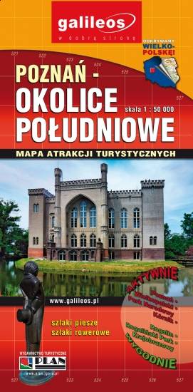
Poznań Region. Southern Part
The map presents part of the Greater Poland Voivodeship in west-central Poland, south from Poznań. It covers such towns as Stęszew, Środa Wielkopolska, Kostrzyn. Tourist attractions, cycling and walking trails are marked on the map, as well as other information useful for tourists.
MAPA TURYSTYCZNA W APLIKACJI TRASEO
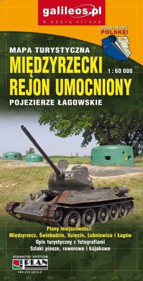
Międzyrzecz Fortification Region. Łagów Lakeland
Międzyrzecz Fortification Region was a fortified military defence line of Nazi Germany between the Oder and Warta rivers. Built in 1934–44, it was the most technologically advanced fortification system of Nazi Germany, and remains one of the largest and the most interesting systems of this type in the world today. It consists of around 100 concrete defence structures partially interconnected by a network of underground tunnels. Some of the forts and tunnels are available for visiting. The map presents the central part of the defence line. Cycling and walking trails are also marked.
MAPA TURYSTYCZNA W APLIKACJI TRASEO
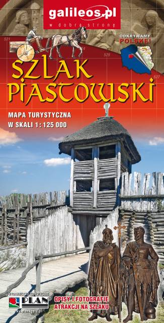
Szlak Piastowski
Mapa turystyczna Szlaku Piastowskiego, który przebiega przez województwa: wielkopolskie i kujawsko-pomorskie. Mapa została zaktualizowana w terenie, zostały na niej uwzględnione wszelkie niezbędne informacje turystyczno-krajoznawcze oraz informacje praktyczne. Rok Wydania 2017
MAPA TURYSTYCZNA W APLIKACJI TRASEO
Lubusz Land
The map covers the Lubusz Voivodeship in western Poland. Monuments, cycling and walking trails and other information useful for tourists are marked on the map. Most interesting places are depicted with coloured graphic symbols.