


Charakterystyka trasy

Komentarze
NA TYCH TRASACH PRZYDA CI SIĘ MAPOPRZEWODNIK LUB MAPA Z NASZEJ APLIKACJI
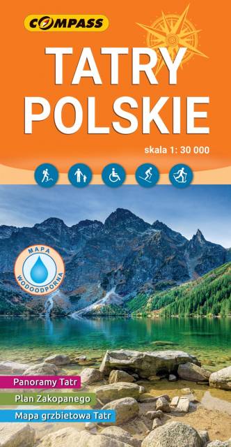
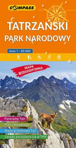
Mapa przedstawia najbardziej znane i najczęściej odwiedzane góry w Polsce - Tatry. Zasięg mapy wyznaczają: Rysy (2'499 m n.p.m.) na południu, Jurgów na wschodzie, Wołowiec (2'064 m n.p.m.) na zachodzie i Bukowina Tatrzańska na północy. Na mapie zastosowano cieniowanie w celu uzyskania wrażenia plastyczności rzeźby terenu oraz przedstawiono informacje przydatne turystom w wysokich górach, m.in. miejsca zejścia lawin i łańcuchy. Mapa zawiera także: plan Zakopanego (1:18'500), informator o Tatrach i Tatrzańskim Parku Narodowym, mapę grzbietową Tatr Polskich oraz szereg panoram Tatr z opisanymi szczytami. Treść mapy była konsultowana z pracownikami Tatrzańskiego Parku Narodowego. Mapę offline można zakupić w aplikacji Traseo na urządzenia mobilne. Rok wydania 2019
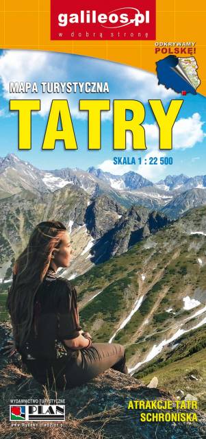
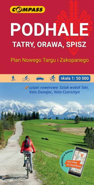
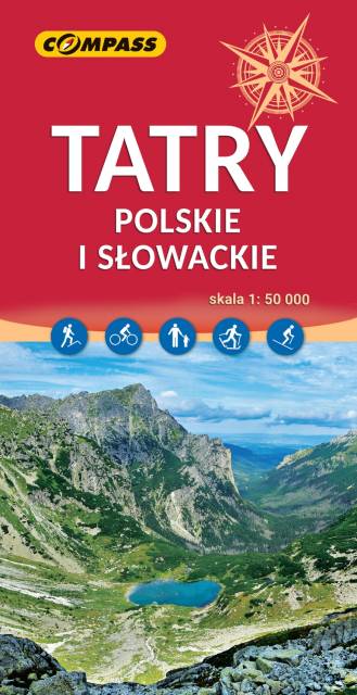
The highest mountains in Poland and Slovakia are the only part of the Carpathians that present extremely Alpine characteristics. It is one of the most important tourist regions in Poland and Slovakia, which is the destination of thousands of tourists each year. The Tatra National Park is a protected area entered in UNESCO's World Network of Biosphere Reserves. The maps depicts three internal mountain chains: High Tatras, Western Tatras and Belianske Tatras. All the hiking routes, tourist attractions and ski resorts are marked on the map.

The map covers the region of the Polish and Slovak Tatra Mountains, presenting detailed information about ski resorts, back-country ski trails, ice-skaing and sleighing centers, children friendly places and thermal resorts. Hiking routes are also marked on the map.