

Charakterystyka trasy
Komentarze
NA TYCH TRASACH PRZYDA CI SIĘ MAPOPRZEWODNIK LUB MAPA Z NASZEJ APLIKACJI
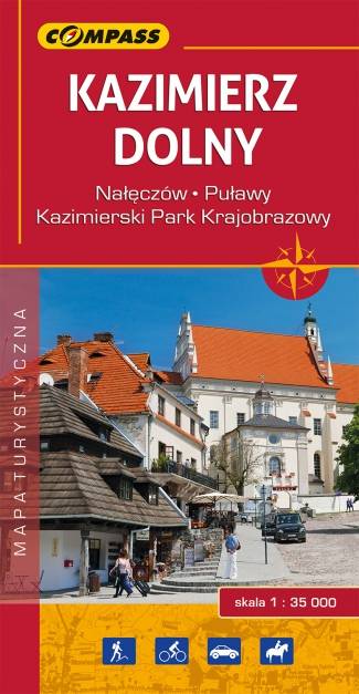
Turystyczna mapa "Kazimierz Dolny" i okolic w świetnej skali 1:35 000. Znaleźć na niej można wszystkie ważne dla turysty informacje z tych pięknych terenów dotyczące nie tylko cennych zabytków, ale i tras pieszych, rowerowych, rezerwatów przyrodniczych i parków krajobrazowych. Mapa zawiera aktualną infrastrukturę turystyczną. Mapa swoim zasięgiem obejmuje także Kazimierski Park Krajobrazowy, Nałęczów i Puławy.
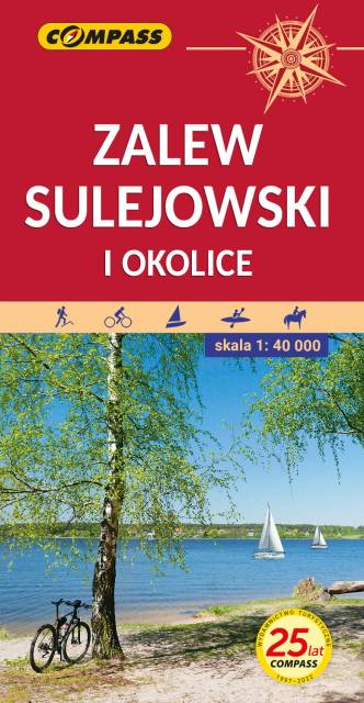
This map shows the surroundings of one of the largest artificial water reservoirs in Poland. The Sulejowski Reservoir stretches between Sulejów and Smardzewice from south-west to north-east. Thanks to the larger sheet, the coverage of this edition of the map has been significantly extended, and is delimited by Tomaszów Mazowiecki to the north, Piotrków Trybunalski to the west, Sulejów to the south and Sławno to the east. The map is addressed to enthusiasts of water sports, cycling and hiking.
The Reservoir’s asset is its natural and varied shoreline, mostly overgrown with pine forests and featuring numerous beaches. The attractive natural environment combined with good tourist facilities guarantee a pleasant holiday.
On the back of the map, you will find sightseeing, angling and sailing information.
Year of issue: 2021