


Charakterystyka trasy

Komentarze
NA TYCH TRASACH PRZYDA CI SIĘ MAPOPRZEWODNIK LUB MAPA Z NASZEJ APLIKACJI
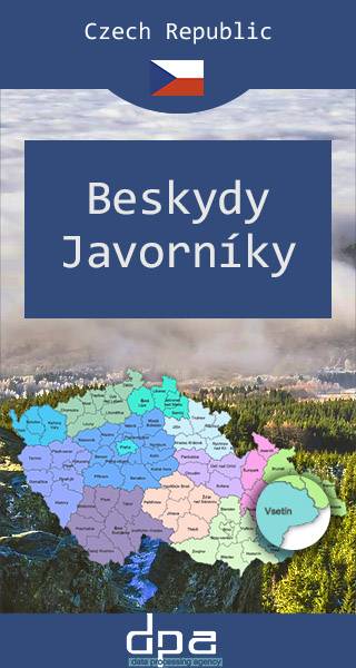
Mapa przedstawia fragment Beskidów Śląsko-Morawskich na południowy wschód od miejscowości Międzyrzecze Wołoskie, oraz zachodnią część Jaworników - do linii miejscowości Vysoká nad Kysucou. Malowniczy region czesko-słowackiego pogranicza wykorzsytywany jest pod turystykę pieszą i narciarską, licznie odwiedzają go także wspinacze skałkowi (znane miejsce wspinaczkowe to Skały Czertowskie koło wsi Lidečka).
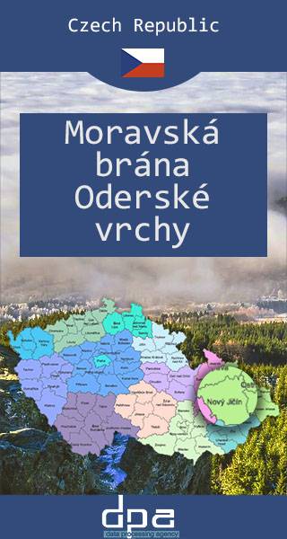
Brama Morawska to kraina geograficzna na Morawach w Czechach, stanowiąca obniżenie pomiędzy Karpatami Zachodnimi i Pogórzem Śląskim a Sudetami Wschodnimi. Od najdawniejszych czasów region ten stanowił naturalne przejście pomiędzy Sudetami i Karpatami. Tędy przebiegały najważniejsze trakty handlowe z południa Europy nad Morze Bałtyckie (np. jeden z wariantów Szlaku Bursztynowego), a także szlaki z Polski do Czech. Najważniejszym miastem Bramy Morawskiej jest dziś Ostrawa. U północnego wylotu Bramy Morawskiej po stronie polskiej leżą między innymi takie miasta, jak Racibórz czy Wodzisław Śląski. Mapa obejmuje także Gory Odrzańskie (najwyższy szczyt: Fidlův kopec, 680 m), okalające Bramę Morawską od zachodu i stanowiące najdalej na wschód wysunięte pasmo górskie łańcucha Sudetów, leżące całkowicie na terenie Czech.
Rok aktualizacji: 2016/2017
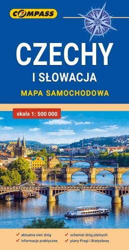
Mapa samochodowa Słowacji i Czech zawiera: aktualną sieć autostrad, dróg ekspresowych i głównych, z podziałem na dwupasmowe i jednopasmowe; drogi w budowie, numerację dróg oraz kilometraż. Na mapie zaznaczono: przejścia graniczne, Autostradowe Miejsca Obsługi Podróżnych, wybrane stacje benzynowe, parkingi i promy wodne, porty lotnicze, obszary leśne, parki narodowe, uzdrowiska, większe ośrodki narciarskie, obiekty na Liście UNESCO. Legenda w językach: polskim, angielskim, czeskim i słowackim.
Mapa dodatkowo zawiera:
- schemat dróg płatnych na Słowacji i w Czechach;
- wykaz węzłów na autostradach i drogach ekspresowych na Słowacji;
- plany Pragi i Bratysławy;
- schemat metra w Pradze;
- informacje praktyczne dla podróżujących samochodem po Słowacji i Czechach (m.in.: wybrane przepisy drogowe, wymagane dokumenty, obowiązkowe wyposażenie samochodu, rodzaje winiet).
Mapę offline można zakupić w aplikacji Traseo na urządzenia mobilne. Rok wydania 2020