KaniolKaniol
Route characteristics
2022-05-14
Polska, wielkopolskie, Puszcza Notecka

Trip length:
50 kmTotal ascent:
263 mTotal descent:
246 mAverage time needed to complete the route:
6 h 4 minRoute rating:
1.0/6Comments
ON THESE ROUTES YOU WILL NEED A MAP GUIDE OR A MAP FROM OUR APP
TOURIST MAP IN THE TRASEO APP
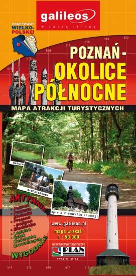
Poznań Region. Northern Part
The map presents part of the Greater Poland Voivodeship in west-central Poland, south from Poznań. It covers such areas as the Puszcza Zielonka Landscape Park and the Promno Landscape Park. Tourist attractions, cycling and walking trails are marked on the map, as well as other information useful for tourists.
TOURIST MAP IN THE TRASEO APP
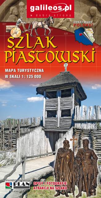
Szlak Piastowski
Mapa turystyczna Szlaku Piastowskiego, który przebiega przez województwa: wielkopolskie i kujawsko-pomorskie. Mapa została zaktualizowana w terenie, zostały na niej uwzględnione wszelkie niezbędne informacje turystyczno-krajoznawcze oraz informacje praktyczne. Rok Wydania 2017