


Klub Turystyczny SzwendaczekKlub_Turystyczny_Szwendaczek
Charakterystyka trasy
2012-08-16
Ukraina, obwód zakarpacki

Długość trasy:
19 kmSuma przewyższeń:
1223 mSuma spadków:
1206 mŚredni czas potrzebny na pokonanie trasy:
10 h 2 minOcena trasy:
1.6/6Komentarze
NA TYCH TRASACH PRZYDA CI SIĘ MAPOPRZEWODNIK LUB MAPA Z NASZEJ APLIKACJI
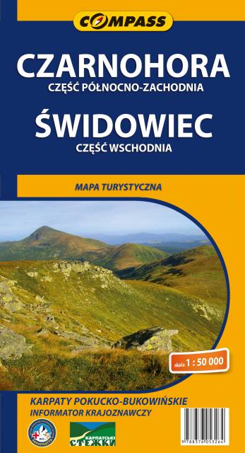
MAPA TURYSTYCZNA W APLIKACJI TRASEO
Black Mountain and Svydovets
Chornohora (literally: Black Mountain) is the highest mountain range in Western Ukraine in the Eastern Beskids and the Ukrainian Carpathians group, which in turn is part of the Outer Eastern Carpathians. The range is located on the administrative border between Ivano-Frankivsk and Zakarpattia oblasts. It is adjacent to the Gorgany range. The highest peak of Chornohora is Hoverla (2,062 m) with other high peaks including Pip Ivan (2,022 m) and Petros (2,020 m). The major part of the range forms the watershed between the Prut and Tysa River. The lower parts of Chornohora are inhabited by Hutsuls, whose primary occupation is herding. Major tourist centres of Chornohora are Bystrets, Rakhiv, Verkhovyna, Vorokhta and Yasinia. (wikipedia.com)