


Charakterystyka trasy

Komentarze
NA TEJ TRASIE PRZYDA CI SIĘ MAPA Z NASZEJ APLIKACJI
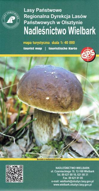
Wielbark is a small village located south of Szczytno. The very cover of the map shows the richness of the local forests. In addition to the beautiful undergrowth, the area offers many other interesting places worth visiting. Before the Second World War, the area was on the Polish-German border - you can still see remnants of the former border, or the reconstructed former border post. The Omulew River, on the other hand, provides an unforgettable experience for canoeists, not forgetting the well-prepared cycling and Nordic Walking trails. And the beautiful and extensive forests offer a sense of tranquillity along the route.
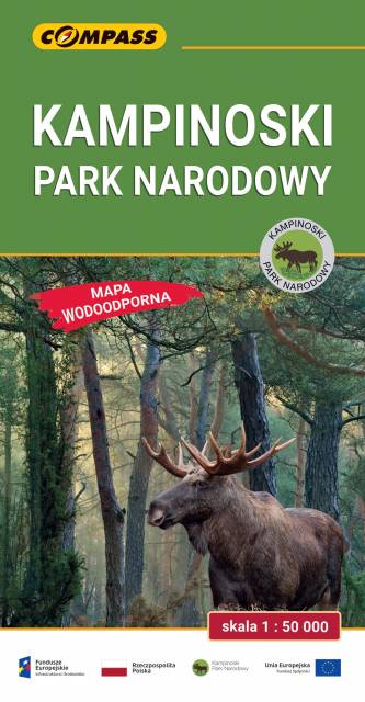
The Kampinos National Park is situated in east-central Poland, in the Masovian Voivodeship, on the north-western outskirts of Warsaw. It covers the ancient Kampinos Forest. In January 2000 the area was added to UNESCO’s list of biosphere reserves. On the map walking, cycling, skiing and horse trails are marked, e.g. Kampinos Cycling Trail whose total length is around 200 km.
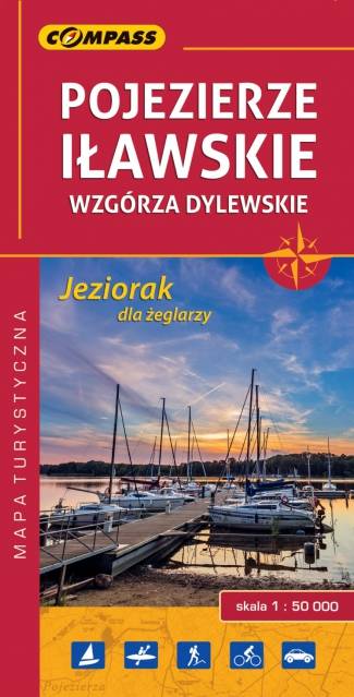
The map depicts northern part of the Olsztyńskie Lakeland in northern Poland, part of the Iławskie Lakeland, the Mrągowskie Lakeland, and the Garb Lubawski. The hilly region full of lakes and forests is perfect for sailors, cyclists and hikers. Medieval Teutonic castles - e.g. in w Olsztyn, Reszel, Dobre Miasto, Morąg - are also great attractions in the area. The map range: Lubomino and Dobre Miasto to the north, Reszel and Sorkwity to the east, Olsztyn to the south and Morąg to the west.
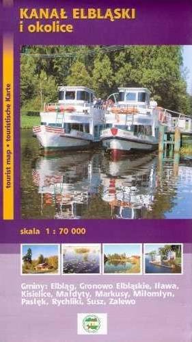
Elbląg Canal is a canal in Poland, in Warmian-Masurian Voivodeship, 80.5 km in length, which runs southward from Lake Drużno (connected by the river Elbląg to the Vistula Lagoon), to the river Drwęca and lake Jeziorak. Today it is used mainly for recreational purposes. It is considered one of the most significant monuments related to the history of technology and was listed by Unesco as a world heritage site. In Poland it has recently been named one of the Seven Wonders of Poland. The canal was also named one of Poland's official national Historic Monuments (Pomnik historii), as designated January 28, 2011. Its listing is maintained by the National Heritage Board of Poland.
Update: 2012
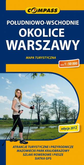
Map range: Zielonka to the north, suburban Warsaw to the west, Garwolin to the south, Stoczek Łukowski to the east. The region is known for numerous health resorts and large pin woods of Masovian Landscape Park. It is covered by network of walking and cycling trails, marked on the map.