


Charakterystyka trasy

Komentarze
NA TYCH TRASACH PRZYDA CI SIĘ MAPOPRZEWODNIK LUB MAPA Z NASZEJ APLIKACJI
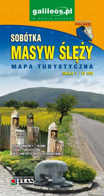
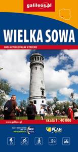
Wielka Sowa to najbadziej popularny i najliczniej odwiedzany szczyt w Górach Sowich, jednocześnie jest to również najwyższy szczyt tego pasma Sudetów - 1015 m. n.p.m. Na szczycie Wielkiej Sowy odbywają się różne imprezy, zloty czy pikniki. Mapa obejmuje teren ograniczony miejscowościami: Walim, Pieszyce, Dzierżoniów, Jugów. Zaznaczono na niej aktualny przebieg szlaków turystycznych pieszych i rowerowych z ich długościami. Na mapie naniesiono ośrodki noclegowe i restauracje. Siatka geograficzna zgodna z GPS oparta na układzie WGS-84.
Mapa została przygotowana tylko dla urządzeń cyfrowych, nie ma odpowiednika w wersji papierowej.
Mapa Gór Sowich Wydawnictwa Galileos z aktualnym przebiegiem szlaków turystycznych, zarówno pieszych jak i rowerowych. Wraz z czasem przejść. Zasięg mapy na północy wyznacza Świdnica, na wschodzie Bielawa, na południu Srebrna Góra i Nowa Ruda, na zachodzie Jedlina Zdrój. Rok wydania 2020

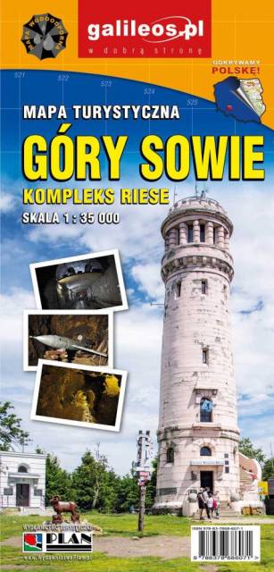
Mapa turystyczna "Góry Sowie" zamknięta jest przez: Wałbrzych na północnym-zachodzie, Broumov na zachodzie, Radków na południu, Srebrna Góra na południowym-wschodzie. Prawdziwą osobliwością tego obszaru są podziemne obiekty militarne. Jest to atrakcyjny teren na piesze i rowerowe wycieczki. Są tu dobre warunki dla miłośników MTB, narciarstwa zjazdowego i biegowego, jazdy konnej. Na mapie oznaczono szlaki turystyczne: piesze i rowerowe. Rok wydania 2024
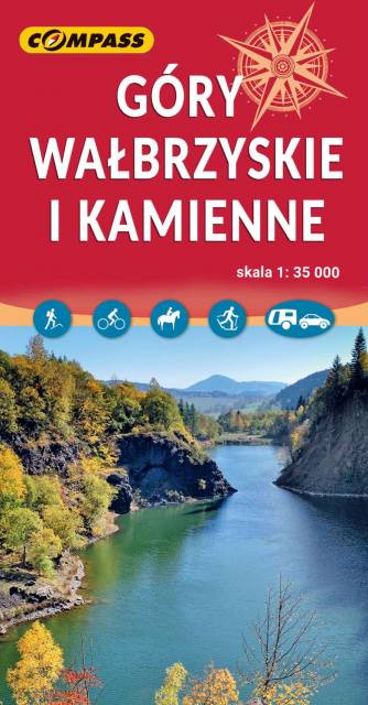
Mapa obejmuje Góry Wałbrzyskie, Góry Kamienne i Adszprasko-Teplickie Skały po czeskiej stronie. Na mapie są wszystkie elementy potrzebne turyście do poruszania się w tym ciekawym terenie. Podane odległości i czasy przejść pomogą zaplanować wycieczkę. Rok wydania 2023
Mapa obejmuje bardzo atrakcyjną turystycznie czeską część Gór Stołowych. Podobnie jak w polskiej części masywu, także ten region obfituje w przeróżne ciekawe formacje skalne. Ciekawym szczytem Broumowskich Ścian jest leżąca nieopodal Koruna z punktem widokowym i interesującymi formacjami skalnymi na szczycie, natomiast za największą atrakcję uchodzi góra Hvězda (674 m n.p.m.), na której szczycie, na skalnej krawędzi, znajduje się barokowa kaplica Matki Boskiej Śnieżnej, wykonana z piaskowca ciosowego (zbudowana na podstawie pięcioramiennej gwiazdy). Miasta skalne znajdujące się w Adršpašskoteplickich skálach są jednym z najbardziej znanych piaskowcowych terenów wspinaczkowych na świecie. Między labiryntami form skalnych przebiega płatna trasa turystyczna niewymagająca żadnej wprawy przy chodzeniu po górach, składająca się z wygodnych schodków, poręczy, drabin i miejscami sztucznie wybudowanych chodników i platform. W pobliżu znajduje się też Teplickie Skalne Miasto – nieco mniej znane od Adršpašskoteplickich skál, lecz rozleglejsze, wyższe i bardziej dzikie.
Rok wydania: 2016/2017