



Pjk Galicyapjk
Charakterystyka trasy
2014-08-31
Warszawa

Długość trasy:
16 kmSuma przewyższeń:
10 mSuma spadków:
11 mOcena trasy:
6/6Komentarze
NA TYCH TRASACH PRZYDA CI SIĘ MAPOPRZEWODNIK LUB MAPA Z NASZEJ APLIKACJI
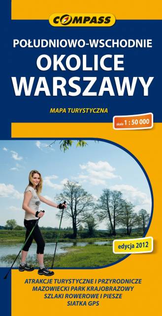
MAPA TURYSTYCZNA W APLIKACJI TRASEO
South-Eastern Warsaw Area
Map range: Zielonka to the north, suburban Warsaw to the west, Garwolin to the south, Stoczek Łukowski to the east. The region is known for numerous health resorts and large pin woods of Masovian Landscape Park. It is covered by network of walking and cycling trails, marked on the map.