


Paweł Krysiakkrysiakp
Charakterystyka trasy
2018-09-29
Wąbrzeźno, Osieczek, Brudzawy, Kruszyny, Dębowa Łąka

48 km
22 m
20 m
2 h 52 min
3.2/6
Komentarze
NA TEJ TRASIE PRZYDA CI SIĘ MAPA Z NASZEJ APLIKACJI
MAPA TURYSTYCZNA W APLIKACJI TRASEO
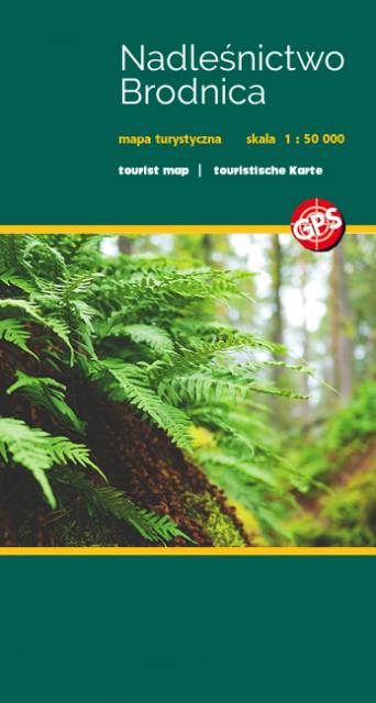
Forests of Brodnica
Brodnica Landscape Park (Brodnicki Park Krajobrazowy) is a protected area in north-central Poland. It is shared between two voivodeships: Kuyavian-Pomeranian Voivodeship and Warmian-Masurian Voivodeship. Within Kuyavian-Pomeranian Voivodeship. Within the Landscape Park are seven nature reserves.
MAPA TURYSTYCZNA W APLIKACJI TRASEO
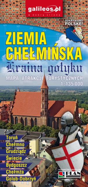
Ziemia Chelmińska - Gothic Land
An updated map of Ziemia Chełmińska. The most important tourist attractions of the region are marked on the map as icons. The map covers Chełmno, Toruń, Chełmża, Świecie, Grudziądz, Golub-Dobrzyń and Bydgoszcz. Year of publication 2017