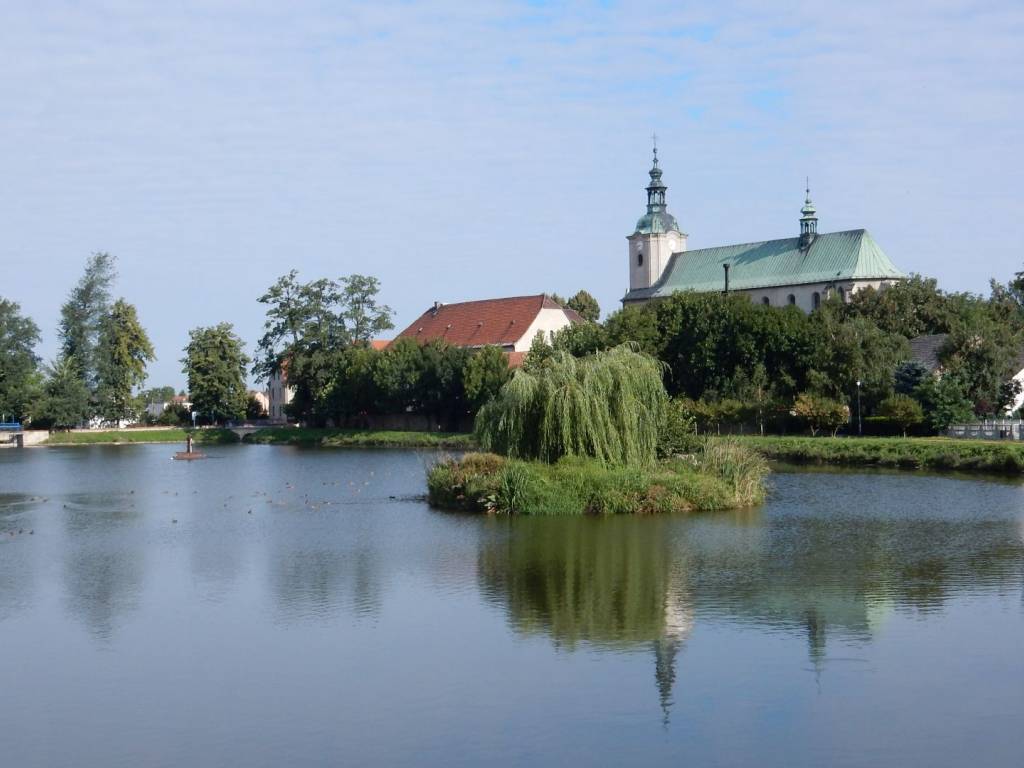
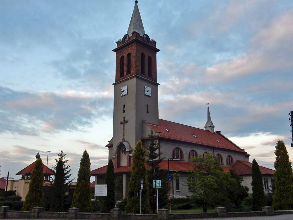
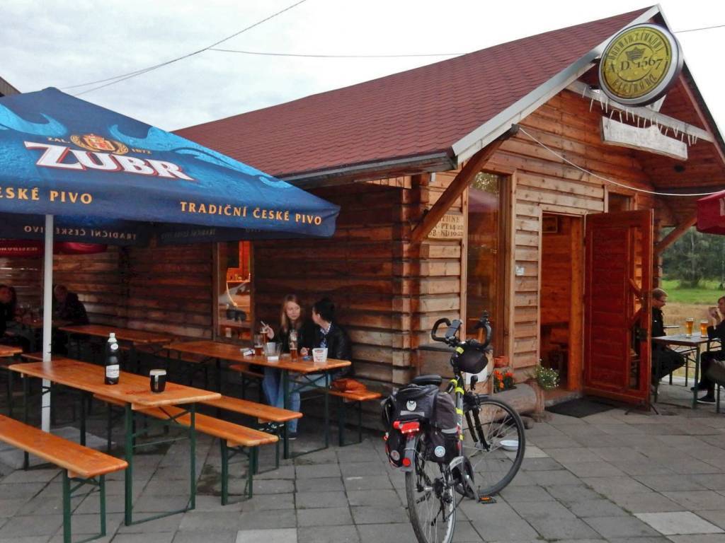
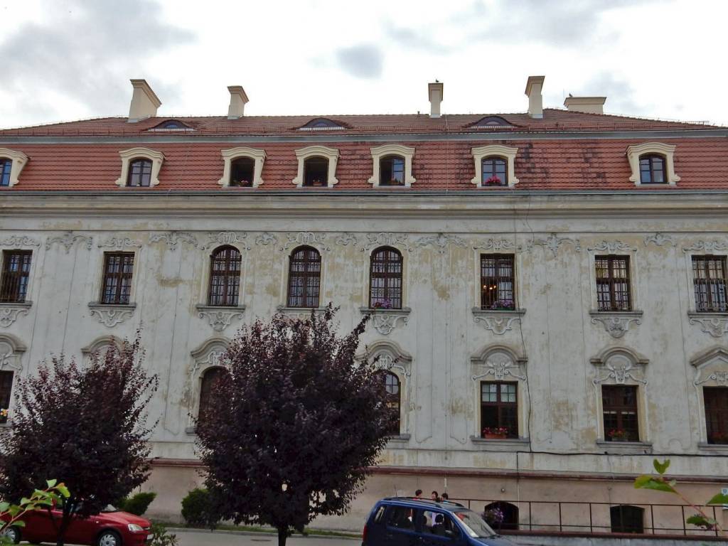
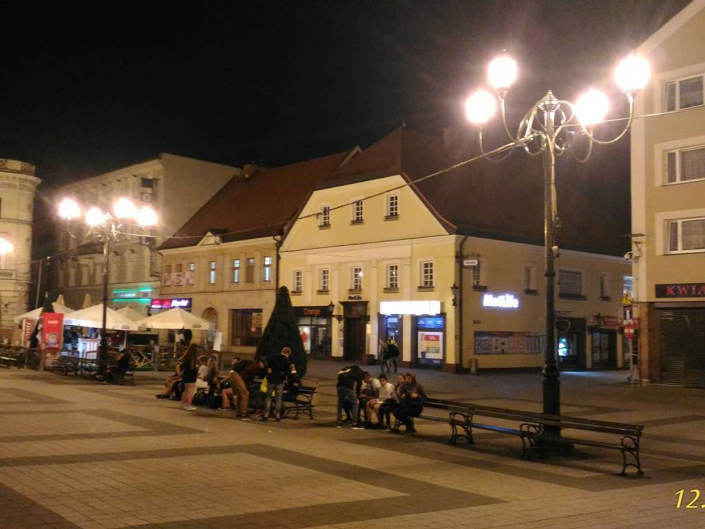
Wyjazd zaplanowany wcześniej wiedząc, że trasa jest długa wyjechałem wcześniej, bo o 04.00 rano. Cel to Jemielnica - Klasztor Cystersów, Kolonowskie - dawne miejsce pracy i Barut - "Polski Katyń". Trasa wiodła przez Rudy, Rudziniec (śluza), Chechło, Proboszczewice, Kotulin, Błotnica Strzelecka, Centawa, Jemielnica, Piotrówka, Łaziska, Staniszcze Wielkie, Staniszcze Małe, Kolonowskie.W Jemielnicy odwiedziłem klasztor, zabytkową studnię i rynek z Pomnikiem Pamięci. W punkcie informacyjnym poinformowano mnie, iż w Staniszczach Małych powstała "Wioska Indiańska”, którą warto zobaczyć, wiązało się to z wydłużeniem trasy o ok 30 km. mimo to postanowiłem tam podjechać. W Kolonowskim zobaczyłem miejsce dawnej pracy, prywatne budynki, przy których też pracowałem oraz kościół. Droga powrotna to Kolonowskie, Zawadzkie, Wierchlesie, Barut - "Polski Katyń", Dąbrówka, Toszek - zamek, Paczyna, Bycina, Taciszów, Kleszczów, Sośnicowice, Smolnica, Leboszowice, Pilchowice, Ochojec, Książenice, Leszczyny, Przegędza - "Bar pod Lasem" i Rybnik - rynek. Oczywiście po trasie robiłem zdjęcia również ciekawym obiektom. Pogoda dopisała trasa wg licznika rowerowego to 200.95 km.
Więcej: https://www.janham.cba.pl/index.php?option=com_content&view=article&id=68&Itemid=185
Komentarze
NA TYCH TRASACH PRZYDA CI
SIĘ MAPOPRZEWODNIK LUB MAPA Z NASZEJ APLIKACJI
MAPA TURYSTYCZNA W APLIKACJI TRASEO
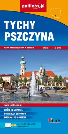
Tychy, Pszczyna i okolice
Mapa Pszczyny, Tych i okolic ograniczony jest przez Oświęcim na wschodzie i Żory na zachodzie, południowa część mapy to Jezioro Goczałkowickie. Na mapie zaznaczono informacje przydatne turyście i podano przebiegi szlaków pieszych i rowerowych. Wyróżniono miejscowości godne zwiedzania i miejsca szczególnie interesujące aktywnych.
MAPA TURYSTYCZNA W APLIKACJI TRASEO
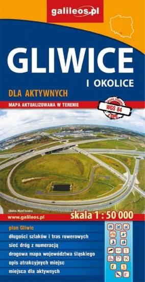
Gliwice i okolice
Mapa Gliwic i okolic, na której zaznaczono informacje przydatne turyście, jak zabytki, noclegi, granice obszarów chronionych. W miejscowościach opisano nazwy głównych ulic. Podano aktualne przebiegi szlaków pieszych i rowerowych. Wyróżniono miejscowości godne zwiedzania i miejsca szczególnie interesujące aktywnych.
MAPA TURYSTYCZNA W APLIKACJI TRASEO
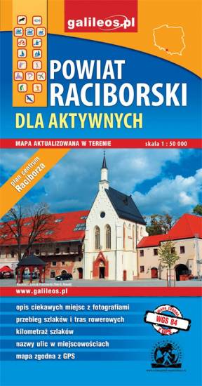
Powiat raciborski
Mapa Raciborza i okolic obejmuje obszar, w skład którego wchodzą gminy: Racibórz, Kornowac, Nędza, Kuźnia Raciborska, Rudnik, Pietrowice Wielkie, Krzanowice, Krzyżanowice. Szczególnie atrakcyjne miejsca zaznaczono żółtą ramką. Podano aktualne przebiegi szlaków pieszych, rowerowych i dydaktycznych, łącznie z kilometrażem.
MAPA TURYSTYCZNA W APLIKACJI TRASEO
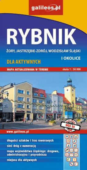
Rybnik i okolice
Mapa Rybnika i okolic obejmuje Żory, Jastrzębie-Zdrój, Rybnik i Wodzisław Śląski. Zaznaczono na niej informacje przydatne turyście, jak zabytki, noclegi, granice obszarów chronionych. W miejscowościach opisano nazwy głównych ulic. Podano aktualne przebiegi szlaków pieszych i rowerowych.
MAPA TURYSTYCZNA W APLIKACJI TRASEO
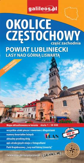
Okolice Częstochowy
Mapa Częstochowy i okolic obejmuje swym zasięgiem zachodnie okolice Częstochowy, a w nich Park Krajobrazowy Górnej Liswarty, powiat lubliniecki, zawiera sieć dróg z numeracją, granice gmin oraz bogatą treść turystyczną: szlaki piesze i rowerowe, ścieżki przyrodnicze, zabytki, ciekawe miejsca i przyrodniczą - granice rezerwatów, pomniki przyrody. Zawiera nazwy ulic w miejscowościach.
MAPA TURYSTYCZNA W APLIKACJI TRASEO
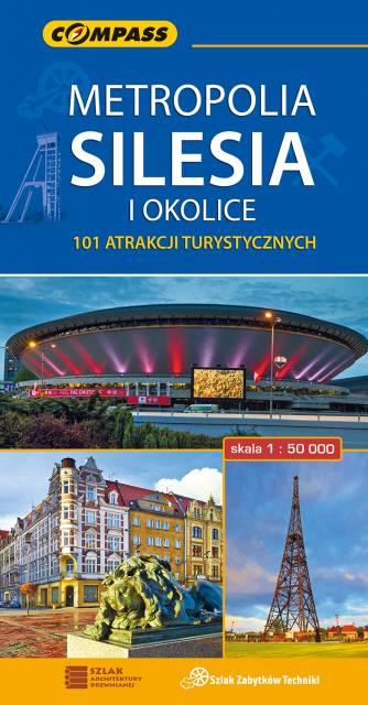
Metropolia Silesia i okolice
Mapa turystyczna w skali 1:50000, która pokazuje mniej znane oblicze Górnego Śląska - regionu o niezwykłej historii, pełnego zabytków, atrakcji, a także... wielu terenów zielonych. Wydanie zawiera wszystkie obecne na opisywanym terenie zabytki architektury, techniki i przyrody; aktualną infrastrukturę komunikacyjną i turystyczną; szlaki: piesze PTTK, rowerowe, dydaktyczne i spacerowe; oraz wiele innych ciekawych informacji, np. przebieg granic państwowych z 1914 i 1939 roku. Zasięg mapy wyznaczają: Tarnowskie Góry na północy, Tychy na południu, Gliwice na zachodzie i Jaworzno na wschodzie.